Chamisa Vega Spring Falls
By Armen Suny · Last verified May 2026
Difficulty
Moderate
Trail Length
2.4 miles
Trail Type
Out And Back
Elevation Gain
350 ft
About Chamisa Vega Spring Falls
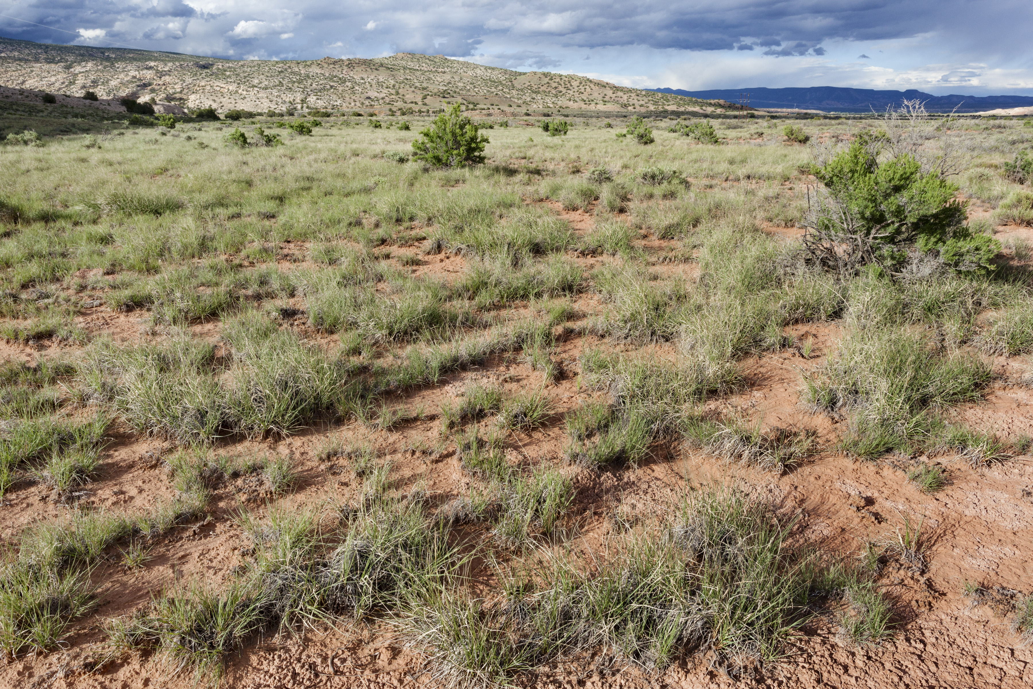
Chamisa Vega Spring Falls is a quiet, seasonal cascade tucked onto Zia Pueblo land in New Mexico. The falls typically run strongest in spring and early summer with snowmelt and rain, and the setting is notably remote and serene — a great choice for hikers seeking solitude and natural character. Because the site lies on tribal land (land owner: DESG; land unit: Zia Pueblo; designation: TRIBL) it’s important to treat the area with respect and follow any local access guidance from tribal managers (Manager: TRIB).
The Setting
Chamisa Vega Spring Falls sits at 6,102 feet within Zia Pueblo, fed by the Jemez River, in the high mountains of New Mexico.
Trail & Hike Details
The Approach
The moderate 2.4-mile out-and-back trail gains 350 feet of elevation on the way to the falls.
Trail Description
The approach to Chamisa Vega Spring Falls is an unassuming 2.4-mile out-and-back with roughly 350 feet of elevation gain, generally rated moderate. There is no widely published USFS trail number or official surface/grade data for this route; the tread is not formally maintained and may be natural, uneven, and sometimes rugged, so come prepared with good footwear and navigation tools. Expect a moderate gradient overall given the gain, and plan for limited facilities and variable signage — visitors should respect Zia Pueblo management and verify access before heading out.
What to Expect
Expect a remote and peaceful experience with limited crowds. The waterfall may be seasonal, so it is best visited after significant rainfall or during spring snowmelt. The surrounding area offers scenic views and opportunities for solitude.
Accessibility
The trail is not wheelchair accessible. Uneven terrain and elevation changes require steady footing.
Frequently Asked Questions
🐶 Are Dogs Allowed at Chamisa Vega Spring Falls?
❌ Dogs are not allowed
Are There Any Fees or Permits Required?
🆖 No fees required
🏊 Is There Swimming at Chamisa Vega Spring Falls?
❌ Swimming is not allowed
When to Visit
The best time to visit is during the spring or early summer when water flow is likely to be at its peak.
Seasonal Access
The best time to visit is Spring, Summer, and Fall. Access roads and trails may close during winter due to snow. Watch for flash flood warnings during monsoon season (July through September).
Safety Information
Visitors should be cautious of slippery rocks, sudden weather changes, and potential wildlife encounters. Carry sufficient water and inform someone of your plans before heading out.
Current Water Conditions
9 ft³/s
Current discharge — how much water is flowing
Much lower than usual for this time of year
Based on 67 years of record
3.11 ft
Water depth at gauge
7-Day Discharge Trend
What does this mean for your visit?
Flow is well below normal for this time of year, so the waterfall may be a trickle. Expect very murky conditions with low visibility.
Water Quality
Water Clarity
Very murkyVery low visibility
About This Gauge
This gauge is on a nearby waterway and may not reflect exact conditions at the falls.
7-Day Flow Outlook
Based on the USGS gauge JEMEZ RIVER NEAR JEMEZ, NM (18 km away).
Today
Moderate
9 cfs
8/10Tomorrow
Moderate
10 cfs
8/10Wed
Moderate
10 cfs
8/10Thu
Moderate
9 cfs
8/10Fri
Moderate
9 cfs
8/10Sat
Moderate
9 cfs
8/10Sun
Moderate
8 cfs
8/10Best window: Today — moderate flow, sunny (trip score 8/10).
Best time of year: this gauge typically runs highest from early March to early June, peaking in May.
How we calculate this
This is a transparent outlook, not a precise forecast. We take the waterfall's current flow strength (how it ranks against its historical normal for today, from the nearest USGS stream gauge), carry that ranking forward along the gauge's seasonal curve, and nudge it for forecast rain. Confidence is highest for the next day or two and falls further out. Always check official conditions and your own judgment before visiting — high flows can be dangerous.
Know when to go.
Get a free email alert when waterfalls near San Luis hit peak flow. We only send when conditions are worth the trip — no weekly newsletters, no spam.
Weather Forecast
Location & Access
Getting There
Chamisa Vega Spring Falls is located in a remote area of New Mexico. Access may require navigating dirt roads and trails. Visitors should consult local maps or guides for precise directions.
Get Directions on Google MapsParking
Parking availability is unclear, but visitors may need to park along nearby roads or designated pullouts. Ensure your vehicle is parked safely and does not block access.
Elevation
6,102 feet above sea level
Coordinates
35.676246° N, -106.941158° W
Land Management
Managed by TRIB
Visitor Tips & Gear
Bring plenty of water, wear sturdy hiking shoes, and prepare for changing weather conditions. Cell service may be limited, so download maps or bring a GPS device.
This trail sits at 6,102 ft above sea level
Elevated TrailUV radiation is roughly 24% stronger at this elevation than at sea level, and the dry air accelerates dehydration. Extra sun protection and fluids go a long way.
As an Amazon Associate, we earn from qualifying purchases.

Coppertone Sport SPF 50 Sunscreen
UV intensity jumps ~4% per 1,000 ft — at this elevation you can burn in half the time.

Sun Bum SPF 30 Lip Balm (3-Pack)
Lips have almost no natural UV protection and burn fast in thin, dry mountain air.

Liquid I.V. Electrolyte Packets
You lose moisture ~2x faster at elevation — electrolytes help you absorb water efficiently.

ROCKNIGHT Polarized UV400 Sunglasses
High-altitude glare off rock and water is intense — UV400 lenses block 99%+ of UVA/UVB.
As an Amazon Associate, we earn from qualifying purchases.
With 2.4 miles and 350 ft of elevation gain, sturdy boots and trekking poles will help on this moderate trail. Sun exposure on the trail makes good sun protection a must in summer.

Columbia Watertight II Rain Jacket
Packs into its own pocket, seam-sealed, and keeps you dry from spray and surprise rain.

Earth Pak Waterproof Dry Bag
Keeps your phone and gear dry when waterfall mist soaks everything else.

Waterproof Phone Pouch (AiRunTech)
Cheap insurance — take photos right next to the falls without killing your phone.

Timberland Euro Sprint Mid Waterproof
Trusted waterproof boot with premium leather and grippy rubber sole — reliable on rocky, wet trails.

TrailBuddy Trekking Poles
Lightweight aluminum, cork grips, and flip-locks that actually hold — a best-seller for good reason.

Polarized Sunglasses (Knockaround)
Cuts glare off the water so you actually see the falls — and your photos turn out better too.
Where to Stay

Secluded San Ysidro House w/ Desert Views!

Mountain-Side Getaway w/ Grill in Jemez Springs!

Serene 70s Retreat Near San Antonio Hot Springs

Frontier Motel
Browse vacation cabins and private rentals nearby
Unique outdoor stays — tents, yurts, and treehouses
Rent a campervan or RV for your waterfall road trip
Some links are affiliate links. We may earn a commission at no extra cost to you.
Nearby Campground
Vista Linda Campground
12.6 miles away · 13 sites
Overview Vista Linda Campground is a first come, first serve campground in the San Diego Canyon on the Jemez National Recreation Area. There are thirteen sites throughout the campground. Potable water and vault toilets are provided amenities. Each campsite has picnic tables, a fire ring, and a charcoal pedestal. Sites with shad features are available; not all sites provide shade features. Recreation Vista Linda Campground is one of five developed campgrounds in the Jemez National Recreation Area
Book on Recreation.govNearby Hot Springs
Hot springs near San Luis, New Mexico
Warm Springs
Warm Springs on Zia Pueblo tribal land reaches 129 degrees Fahrenheit — 75 degrees above ambient air temperature — indicating a...
Phillips Springs
Phillips Springs emerges at 70°F on Zia Pueblo tribal land in Sandoval County at 6,000 feet elevation. The water runs 16°F abov...
San Ysidro Hot Springs
San Ysidro Hot Springs delivers 85°F thermal water with remarkably high sodium (3,000 mg/L) and chloride (2,400 mg/L) concentra...
San Ysidro Warm Springs
San Ysidro Warm Springs produces 68°F water on BLM land in Sandoval County, running roughly 13°F above the local annual average...
Indian Springs
Indian Springs discharges at 123 degrees Fahrenheit on Jemez Pueblo tribal land in Sandoval County, New Mexico, soaring 67.4 de...

Jemez Springs
Jemez Springs reaches 169 degrees Fahrenheit, one of New Mexico's hottest thermal discharges, with USGS measurements confirming...
Looking for a soak after your hike? Explore more hot springs near San Luis, New Mexico on SoakingSprings.
Explore New Mexico springsAdditional Information
Nearby Attractions
Nearby attractions may include other natural landmarks or hiking trails in the region. Research local guides for more information.
Wildlife
The area may be home to various wildlife, including birds, deer, and small mammals. Be cautious of potential encounters with snakes or other wildlife.
Cities near Chamisa Vega Spring Falls
Writing about Chamisa Vega Spring Falls? Embed this waterfall on your site for free.