Difficulty
Moderate
Trail Length
2.4 miles
Trail Type
Out And Back
Elevation Gain
350 ft
About Chain Mill Falls
Chain Mill Falls is a quiet, lesser-known waterfall in Indiana that rewards visitors with a peaceful, photoshoot-ready setting. The falls are framed by lush, seasonally changing vegetation; water flow is most impressive after spring thaw or heavy rains, making it a satisfying short escape from busier state scenic sites. The trail to the falls offers a nice mix of scenery and solitude, ideal for hikers who enjoy a relaxed outing and simple nature photography. If you’re exploring Indiana’s waterfalls more broadly, a useful point of reference is Fremont Falls in Hanover—listed on Wikipedia as the state’s tallest waterfall at 108 feet (33 m) near the Ohio River. Chain Mill Falls isn’t advertised like those larger attractions, so you’ll often find fewer crowds and a more contemplative visit compared with the better-known sites in the region.
The Setting
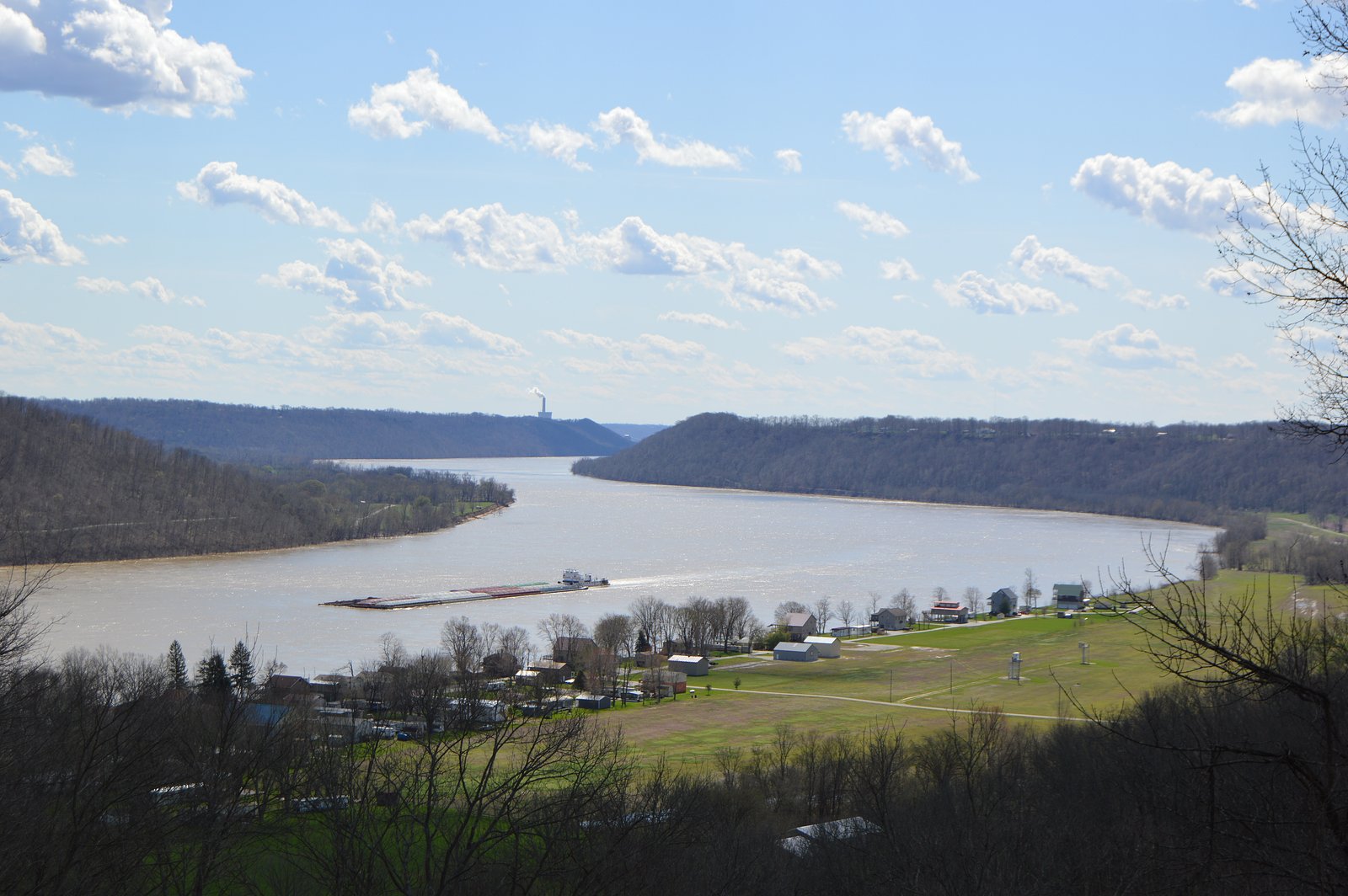
Chain Mill Falls sits at 597 feet along the Muscatatuck River, in the foothills of Indiana.
Trail & Hike Details
The Approach
The moderate 2.4-mile out-and-back trail gains 350 feet of elevation on the way to the falls.
Trail Description
The approach to Chain Mill Falls is a 2.4-mile out-and-back route with roughly 350 feet of elevation gain and is typically rated moderate. The path includes uneven footing—expect roots, rocks, and occasional slick sections—so sturdy footwear and careful footing are recommended. The route is suitable for hikers comfortable with moderate climbs and variable trail conditions; bring water and plan for slower progress on wet days.
What to Expect
Expect a quiet and natural setting with a small waterfall surrounded by forested areas. Water flow may vary depending on recent rainfall.
Accessibility
The trail is not wheelchair accessible. Uneven terrain and elevation changes require steady footing.
Frequently Asked Questions
🐶 Are Dogs Allowed at Chain Mill Falls?
❌ Dogs are not allowed
Are There Any Fees or Permits Required?
🆖 No fees required
🏊 Is There Swimming at Chain Mill Falls?
❌ Swimming is not allowed
When to Visit
Spring and after rainfall are the best times to visit for optimal water flow.
Seasonal Access
The best time to visit is Spring, Summer, and Fall. Winter access may be limited.
Safety Information
Be cautious of slippery rocks near the waterfall. Cell service may be limited, so inform someone of your plans before visiting.
Current Water Conditions
57 ft³/s
Current discharge — how much water is flowing
About average for this time of year
Based on 77 years of record
3.88 ft
Water depth at gauge
7-Day Discharge Trend
What does this mean for your visit?
Flow is about average for this time of year.
About This Gauge
This gauge is on a nearby waterway and may not reflect exact conditions at the falls.
7-Day Flow Outlook
Based on the USGS gauge MUSCATATUCK RIVER NEAR DEPUTY, IN (21 km away).
Today
Low
65 cfs
3/10Tomorrow
Moderate
60 cfs
4/10Sat
Moderate
53 cfs
4/10Sun
Moderate
46 cfs
4/10Mon
Low
37 cfs
6/10Tue
Barely Flowing
32 cfs
5/10Wed
Barely Flowing
32 cfs
5/10Best window: Mon — low flow, sunny (trip score 6/10).
Best time of year: this gauge typically runs highest from early February to late April, peaking in March.
How we calculate this
This is a transparent outlook, not a precise forecast. We take the waterfall's current flow strength (how it ranks against its historical normal for today, from the nearest USGS stream gauge), carry that ranking forward along the gauge's seasonal curve, and nudge it for forecast rain. Confidence is highest for the next day or two and falls further out. Always check official conditions and your own judgment before visiting — high flows can be dangerous.
Know when to go.
Get a free email alert when waterfalls near Hanover hit peak flow. We only send when conditions are worth the trip — no weekly newsletters, no spam.
Weather Forecast
Location & Access
Getting There
Chain Mill Falls is located in a rural area of Indiana. Access details are limited, but it is typically reached via local roads. Visitors should use GPS coordinates or consult local maps for precise directions.
Get Directions on Google MapsParking
Parking availability is unclear, but visitors may need to park along nearby roads or at informal pull-off areas.
Elevation
597 feet above sea level
Coordinates
38.694504° N, -85.471904° W
Visitor Tips & Gear
Visit after recent rain for the best water flow. Bring a map or GPS device as the area may not be well-marked.
As an Amazon Associate, we earn from qualifying purchases.
With 2.4 miles and 350 ft of elevation gain, sturdy boots and trekking poles will help on this moderate trail. Sun exposure on the trail makes good sun protection a must in summer.

Columbia Watertight II Rain Jacket
Packs into its own pocket, seam-sealed, and keeps you dry from spray and surprise rain.

Earth Pak Waterproof Dry Bag
Keeps your phone and gear dry when waterfall mist soaks everything else.

Waterproof Phone Pouch (AiRunTech)
Cheap insurance — take photos right next to the falls without killing your phone.

Timberland Euro Sprint Mid Waterproof
Trusted waterproof boot with premium leather and grippy rubber sole — reliable on rocky, wet trails.

TrailBuddy Trekking Poles
Lightweight aluminum, cork grips, and flip-locks that actually hold — a best-seller for good reason.

Polarized Sunglasses (Knockaround)
Cuts glare off the water so you actually see the falls — and your photos turn out better too.
Where to Stay

Comfort Inn Madison near Clifty Falls

Clifty Inn

The Chandler Hotel

Hillside Inn
Browse vacation cabins and private rentals nearby
Unique outdoor stays — tents, yurts, and treehouses
Rent a campervan or RV for your waterfall road trip
Some links are affiliate links. We may earn a commission at no extra cost to you.
Additional Information
Nearby Attractions
Explore other natural areas and parks in Indiana for additional hiking and sightseeing opportunities.
Wildlife
The area may feature common Indiana wildlife such as deer, birds, and small mammals.
Cities near Chain Mill Falls
Nearby Waterfalls

Writing about Chain Mill Falls? Embed this waterfall on your site for free.