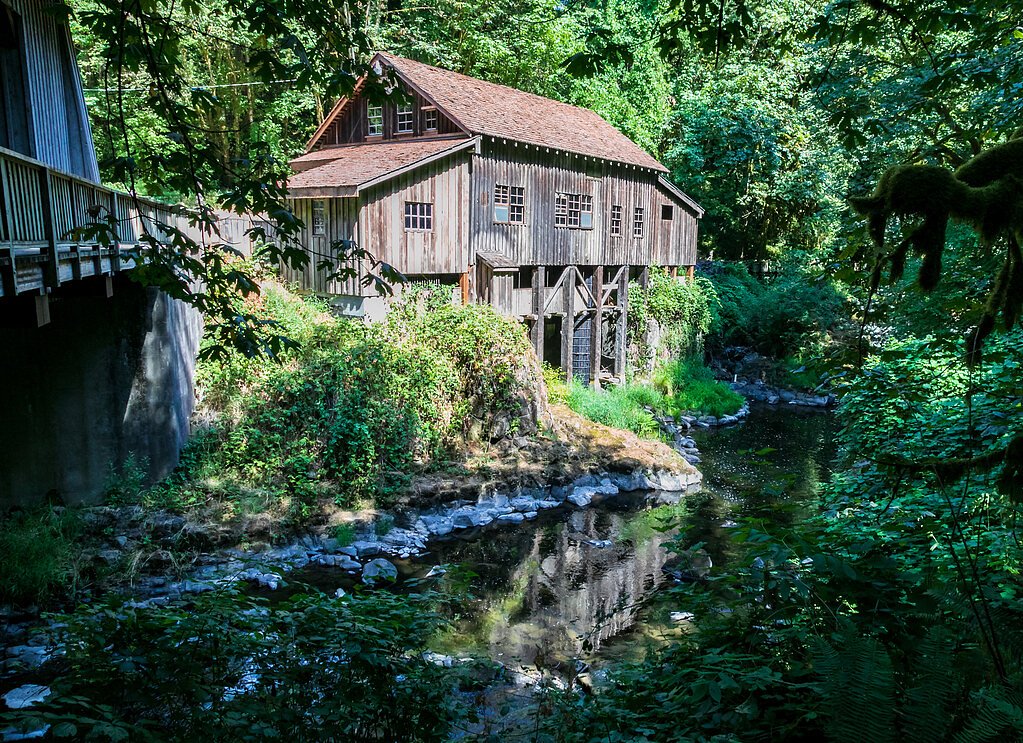
Cedar Creek Falls
By Armen Suny · Last verified May 2026
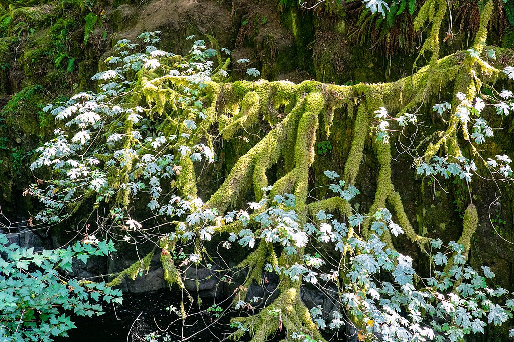
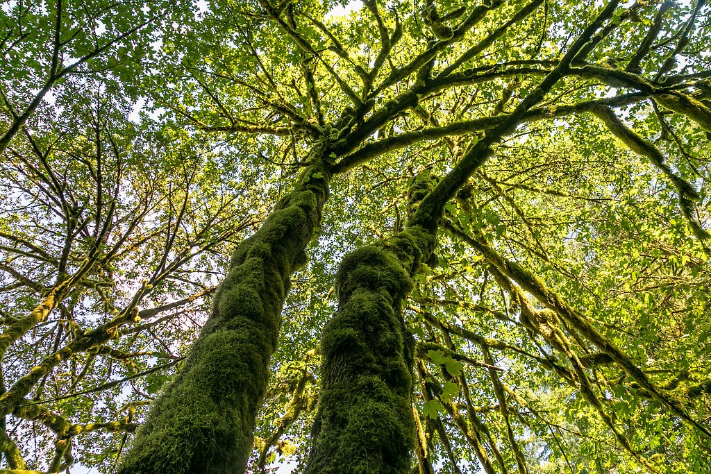
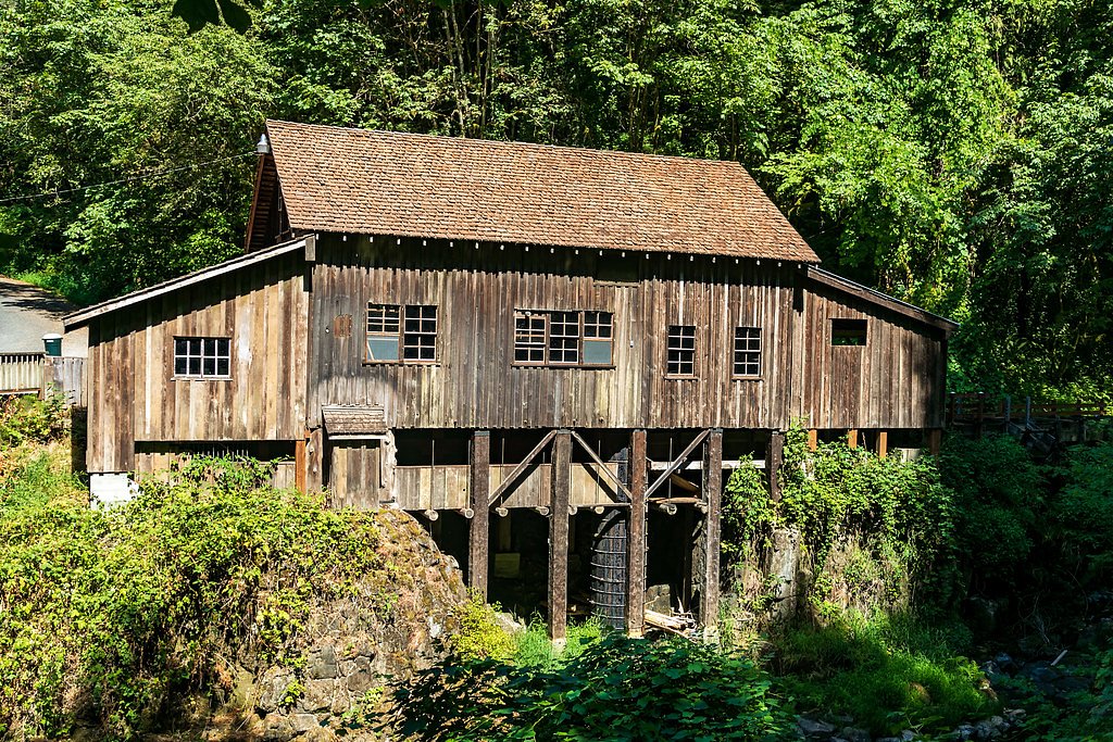
Photo Credits (4)
Difficulty
Easy
Trail Length
2.2 miles
Trail Type
Out And Back
Elevation Gain
300 ft
About Cedar Creek Falls
Cedar Creek Falls is a picturesque waterfall located in Washington, surrounded by lush forested landscapes. It is a popular destination for hikers and nature enthusiasts seeking a serene and scenic experience.
The Setting
Cedar Creek Falls sits at 262 feet along the Toutle River, in the coastal lowlands of Washington.
Trail & Hike Details
The Approach
The easy 2.2-mile out-and-back trail gains 300 feet of elevation on the way to the falls.
Trail Description
The trail to Cedar Creek Falls is a relatively short and easy hike through a forested area. The path is well-maintained and features gentle inclines, making it suitable for most visitors. The trail leads to a viewing area where the waterfall can be enjoyed.
What to Expect
Dogs are welcome.
Accessibility
The trail is not wheelchair accessible. Uneven terrain and elevation changes require steady footing.
Frequently Asked Questions
🐶 Are Dogs Allowed at Cedar Creek Falls?
✅ Dogs are allowed
Are There Any Fees or Permits Required?
🆖 No fees required
🏊 Is There Swimming at Cedar Creek Falls?
❌ Swimming is not allowed
When to Visit
Spring and early summer are the best times to visit, as the waterfall is typically more impressive due to higher water flow.
Seasonal Access
The best time to visit is Spring, Summer, and Fall. Winter access may be limited.
Safety Information
Visitors should exercise caution near the waterfall, as rocks can be slippery. Be prepared for changing weather conditions and carry a map or GPS device.
Current Water Conditions
641 ft³/s
Current discharge — how much water is flowing
Much lower than usual for this time of year
Based on 45 years of record
120.77 ft
Water depth at gauge
7-Day Discharge Trend
What does this mean for your visit?
Flow is well below normal for this time of year, so the waterfall may be a trickle. Expect slightly cloudy visibility.
Water Quality
Water Clarity
Slightly cloudyMinor sediment present
About This Gauge
This gauge is on a nearby waterway and may not reflect exact conditions at the falls.
7-Day Flow Outlook
Based on the USGS gauge TOUTLE RIVER AT TOWER ROAD NEAR SILVER LAKE, WA (12 km away).
Today
Moderate
692 cfs
6/10Tomorrow
Moderate
738 cfs
6/10Sun
Moderate
764 cfs
6/10Mon
Moderate
655 cfs
8/10Tue
Moderate
583 cfs
8/10Wed
Moderate
617 cfs
6/10Thu
Moderate
599 cfs
6/10Best window: Mon — moderate flow, areas of fog (trip score 8/10).
Best time of year: this gauge typically runs highest from early January to late January, peaking in January.
How we calculate this
This is a transparent outlook, not a precise forecast. We take the waterfall's current flow strength (how it ranks against its historical normal for today, from the nearest USGS stream gauge), carry that ranking forward along the gauge's seasonal curve, and nudge it for forecast rain. Confidence is highest for the next day or two and falls further out. Always check official conditions and your own judgment before visiting — high flows can be dangerous.
Know when to go.
Get a free email alert when waterfalls near Toledo hit peak flow. We only send when conditions are worth the trip — no weekly newsletters, no spam.
Weather Forecast
Location & Access
Getting There
Cedar Creek Falls is located near the town of Stevenson, Washington, in the Columbia River Gorge area. Access is typically via forest roads, and visitors should check local maps or GPS for the most accurate directions.
Get Directions on Google MapsParking
Parking is available near the trailhead, but spaces may be limited during peak seasons. Visitors are advised to arrive early to secure a spot.
Elevation
262 feet above sea level
Coordinates
46.411776° N, -122.732335° W
Visitor Tips & Gear
Wear sturdy shoes as the trail may be muddy in some sections, especially after rain. Bring water and snacks, and consider visiting early in the day to avoid crowds.
As an Amazon Associate, we earn from qualifying purchases.
This easy 2.2 miles hike is straightforward — comfortable trail shoes and plenty of water should do. Sun exposure on the trail makes good sun protection a must in summer.

Polarized Sunglasses (Knockaround)
Cuts glare off the water so you actually see the falls — and your photos turn out better too.

Columbia Watertight II Rain Jacket
Packs into its own pocket, seam-sealed, and keeps you dry from spray and surprise rain.

Earth Pak Waterproof Dry Bag
Keeps your phone and gear dry when waterfall mist soaks everything else.

Waterproof Phone Pouch (AiRunTech)
Cheap insurance — take photos right next to the falls without killing your phone.

JOBY GorillaPod Starter Kit
Wraps around railings and rocks for long-exposure waterfall shots — no flat surface needed.

Osprey Daylite Daypack
Light, organized, and just the right size for a day hike — fits water, snacks, and layers.
Where to Stay

Timberland Inn & Suites

Luxe Lake Cabin Hot tub Grill Firepit EV charger

GuestHouse Inn & Suites Kelso/Longview

Sleep Inn Kelso Longview
Browse vacation cabins and private rentals nearby
Unique outdoor stays — tents, yurts, and treehouses
Rent a campervan or RV for your waterfall road trip
Some links are affiliate links. We may earn a commission at no extra cost to you.
Nearby Hot Springs
Hot springs near Toledo, Washington
Green River Soda Spring
Green River Soda Spring produces 86-degree carbonated water at 1,644 feet elevation, flowing 37.5 degrees above ambient tempera...

Mt St Helens Fumaroles
Mount St. Helens fumaroles reach 190 degrees at 6,906 feet elevation on the crater rim, emerging 159.1 degrees above ambient in...
Packwood Hot Spring
Packwood Hot Spring flows at 100 degrees at 1,002 feet elevation in the lower Cascade foothills near Morton, emerging 49.8 degr...

Longmire Mineral Springs
Longmire Mineral Springs flows at 77 degrees within Mount Rainier National Park at 2,758 feet elevation, emerging 31.9 degrees ...

Mt Rainier Fumaroles
Mount Rainier fumaroles reach 162 degrees at 14,217 feet elevation, emerging 154.8 degrees above ambient at Washington's highes...
Rock Creek Hot Springs
Rock Creek Hot Springs emerges in the Columbia River Gorge in Skamania County, Washington, with water documented as 'hot' witho...
Looking for a soak after your hike? Explore more hot springs near Toledo, Washington on SoakingSprings.
Explore Washington springsAdditional Information
Nearby Attractions
Nearby attractions include the Columbia River Gorge, Beacon Rock State Park, and other waterfalls in the area such as Multnomah Falls.
Wildlife
The area is home to a variety of wildlife, including birds, deer, and small mammals. Visitors should respect the natural habitat and avoid feeding animals.
Cities near Cedar Creek Falls
Other waterfalls named Cedar Creek Falls
2 other waterfalls share this name across the U.S.
Writing about Cedar Creek Falls? Embed this waterfall on your site for free.