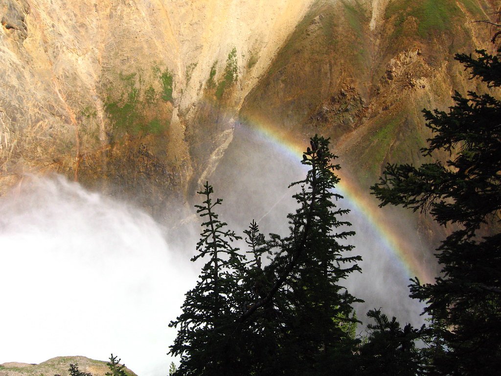
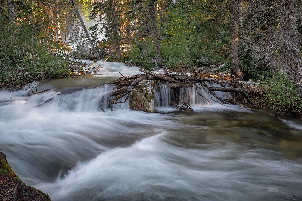
Cave Falls
Wyoming • 20 ft
By Armen Suny · Last verified Mar 2026
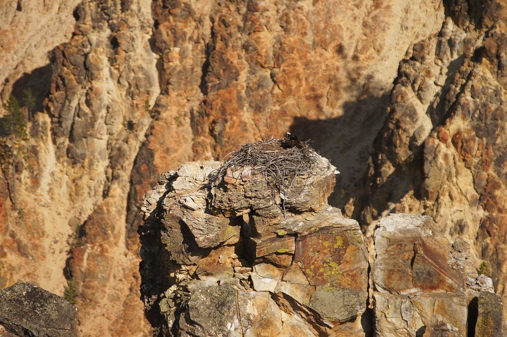
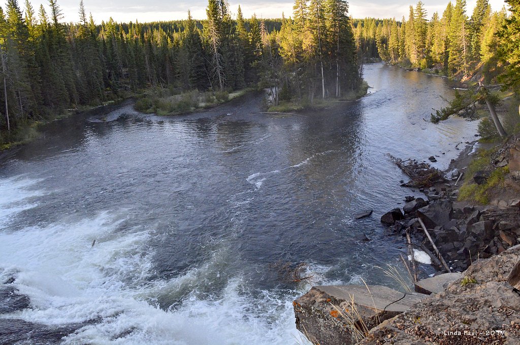
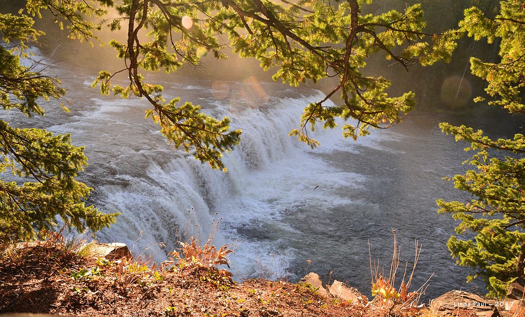

Photo Credits (5)
Difficulty
Moderate
Trail Length
2.4 miles
Trail Type
Out And Back
Elevation Gain
350 ft
About Cave Falls
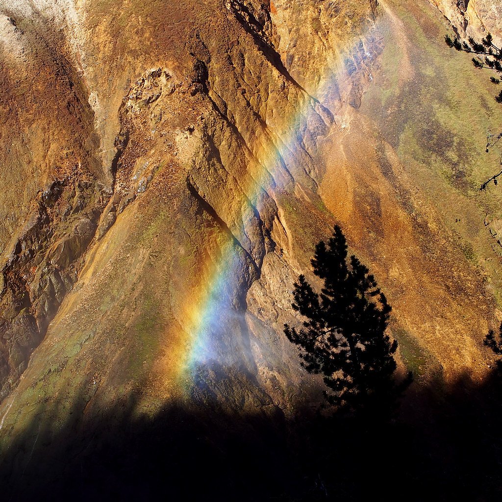
Cave Falls is a picturesque waterfall located on the Falls River in the southwestern corner of Yellowstone National Park, near the Wyoming-Idaho border. It is known for its wide cascade and serene surroundings, making it a popular spot for visitors seeking a quieter experience compared to other Yellowstone attractions.
The Setting
Cave Falls sits at 6,283 feet within Yellowstone National Park, fed by the Snake River, in the high mountains of Wyoming. The falls drop 20 feet.
Height: 20 feet
Trail & Hike Details
The Approach
The moderate 2.4-mile out-and-back trail gains 350 feet of elevation on the way to the falls.
Trail Description
The trail to Cave Falls is very short and easy, leading directly from the parking area to the waterfall. It is suitable for visitors of all ages and fitness levels.
What to Expect
The falls drop a gentle 20 feet. Dogs are welcome.
Accessibility
The trail is not wheelchair accessible. Uneven terrain and elevation changes require steady footing.
Frequently Asked Questions
🐶 Are Dogs Allowed at Cave Falls?
✅ Dogs are allowed
Are There Any Fees or Permits Required?
🆖 No fees required
🏊 Is There Swimming at Cave Falls?
❌ Swimming is not allowed
When to Visit
Spring and early summer are the best times to visit Cave Falls, as the water flow is strongest during this period.
Seasonal Access
The best time to visit is Spring, Summer, and Fall. Access roads and trails may close during winter due to snow. Check the National Park Service website for current conditions.
Safety Information
Visitors should exercise caution near the water, as the rocks can be slippery. Be aware of wildlife in the area and carry bear spray if hiking in the surrounding region.
Current Water Conditions
Based on a USGS gauge 16.7 miles away
858 ft³/s
Current discharge — how much water is flowing
About average for this time of year
Based on 42 years of record
3.45 ft
Water depth at gauge
61°F
WarmVery comfortable
7-Day Discharge Trend
What does this mean for your visit?
Flow is about average for this time of year. Water temperature is a refreshing 61 degrees F, good for a quick swim.
About This Gauge
This gauge is on a regional waterway. Conditions at the falls may differ, especially after local rain.
7-Day Flow Outlook
Based on the USGS gauge SNAKE RIVER AB JACKSON LAKE AT FLAGG RANCH WY (27 km away).
Today
Barely Flowing
858 cfs
5/10Tomorrow
Low
893 cfs
3/10Fri
Low
960 cfs
3/10Sat
Low
912 cfs
3/10Sun
Low
852 cfs
3/10Mon
Low
781 cfs
4/10Tue
Barely Flowing
655 cfs
5/10Best window: Today — barely flowing flow, mostly sunny (trip score 5/10).
Best time of year: this gauge typically runs highest from mid April to mid July, peaking in June.
How we calculate this
This is a transparent outlook, not a precise forecast. We take the waterfall's current flow strength (how it ranks against its historical normal for today, from the nearest USGS stream gauge), carry that ranking forward along the gauge's seasonal curve, and nudge it for forecast rain. Confidence is highest for the next day or two and falls further out. Always check official conditions and your own judgment before visiting — high flows can be dangerous.
Know when to go.
Get a free email alert when waterfalls near Alta hit peak flow. We only send when conditions are worth the trip — no weekly newsletters, no spam.
Weather Forecast
Location & Access
Getting There
Cave Falls is accessible via Cave Falls Road, which is located near the town of Ashton, Idaho. The road is unpaved and may be rough in certain sections, especially after rain. Visitors should check road conditions before traveling.
Get Directions on Google MapsParking
There is a small parking area near the falls, which provides easy access to the viewing area.
Elevation
6,283 feet above sea level
Coordinates
44.144647° N, -110.997162° W
Land Management
Managed by NPS
Visitor Tips & Gear
Bring bug spray during the summer months as mosquitoes can be prevalent. Check road conditions before visiting, especially after rain or during early spring when the road may be muddy.
This trail sits at 6,283 ft above sea level
Elevated TrailUV radiation is roughly 25% stronger at this elevation than at sea level, and the dry air accelerates dehydration. Extra sun protection and fluids go a long way.
As an Amazon Associate, we earn from qualifying purchases.

Coppertone Sport SPF 50 Sunscreen
UV intensity jumps ~4% per 1,000 ft — at this elevation you can burn in half the time.

Sun Bum SPF 30 Lip Balm (3-Pack)
Lips have almost no natural UV protection and burn fast in thin, dry mountain air.

Liquid I.V. Electrolyte Packets
You lose moisture ~2x faster at elevation — electrolytes help you absorb water efficiently.

ROCKNIGHT Polarized UV400 Sunglasses
High-altitude glare off rock and water is intense — UV400 lenses block 99%+ of UVA/UVB.
As an Amazon Associate, we earn from qualifying purchases.
With 2.4 miles and 350 ft of elevation gain, sturdy boots and trekking poles will help on this moderate trail. Sun exposure on the trail makes good sun protection a must in summer.
America the Beautiful Annual Pass
Covers entrance fees at 2,000+ federal recreation sites — required at most National Parks.

Polarized Sunglasses (Knockaround)
Cuts glare off the water so you actually see the falls — and your photos turn out better too.

Columbia Watertight II Rain Jacket
Packs into its own pocket, seam-sealed, and keeps you dry from spray and surprise rain.

Earth Pak Waterproof Dry Bag
Keeps your phone and gear dry when waterfall mist soaks everything else.

Waterproof Phone Pouch (AiRunTech)
Cheap insurance — take photos right next to the falls without killing your phone.

Timberland Euro Sprint Mid Waterproof
Trusted waterproof boot with premium leather and grippy rubber sole — reliable on rocky, wet trails.

TrailBuddy Trekking Poles
Lightweight aluminum, cork grips, and flip-locks that actually hold — a best-seller for good reason.
Where to Stay

Headwaters Lodge & Cabins at Flagg Ranch

Teton Peaks Resort

Heart Six Ranch

Colter Bay Village
Browse vacation cabins and private rentals nearby
Unique outdoor stays — tents, yurts, and treehouses
Rent a campervan or RV for your waterfall road trip
Some links are affiliate links. We may earn a commission at no extra cost to you.
Nearby Campground
Cave Falls Campground
1.4 miles away · 0 sites
This campgrond is situated on the banks of Fall River in Wyoming along the south border of Yellowstone National Park. Cave Falls Campground has 23 single site units and a terrific area for fishing. Each campsite has fire rings, grills and picnic tables. Located throughout the campground are vault toilets, water faucets, bear proof storage boxes, and a dumpster. The campground is located in grizzly bear habitat that requires special precautions be taken with food storage.
Book on Recreation.govNearby Hot Springs
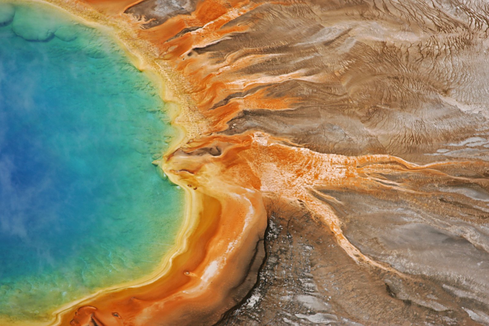
Hot springs near Alta, Wyoming
Boundary Creek Hot Springs
Boundary Creek Hot Springs flows at 181°F in one of Yellowstone's most remote backcountry locations, requiring a 3.8-mile hike ...
Jackson Lake Hot Springs
Jackson Lake Hot Springs emerges at 162 degrees Fahrenheit along Jackson Lake's northwestern shore in Grand Teton National Park...
Ashton Warm Spring
Ashton Warm Spring emerges at 79 degrees Fahrenheit in Fremont County, placing it below typical soaking temperature but above t...

Imperial Geyser, Spray Geyser
Imperial Geyser and Spray Geyser emerge at 192 degrees Fahrenheit at 7,327 feet elevation, located two miles from road access v...

Rabbit Creek Group
Rabbit Creek Group emerges at 198 degrees Fahrenheit—161 degrees above the 36-degree ambient—at 7,284 feet elevation in Yellows...

Fairy Springs
Fairy Springs flows at 201 degrees Fahrenheit within Yellowstone National Park's Lower Geyser Basin, distinguished by its extre...
Looking for a soak after your hike? Explore more hot springs near Alta, Wyoming on SoakingSprings.
Explore Wyoming springsAdditional Information
Nearby Attractions
Mesa Falls, Bechler Falls, and other attractions in the southwestern region of Yellowstone National Park.
Wildlife
The area around Cave Falls is home to a variety of wildlife, including deer, elk, and birds. Visitors should remain cautious and avoid approaching any animals.
Cities near Cave Falls
Nearby Waterfalls

Writing about Cave Falls? Embed this waterfall on your site for free.