Photo Credits (5)
Difficulty
Moderate
Trail Length
3.6 miles
Trail Type
Out And Back
Elevation Gain
800 ft
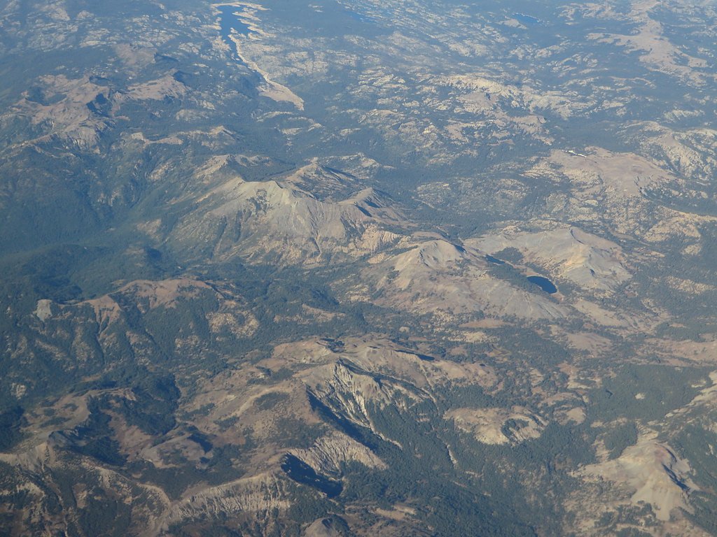
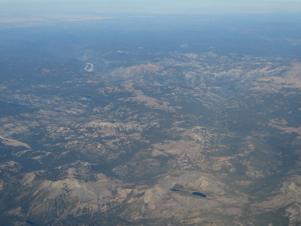
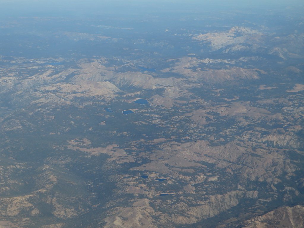
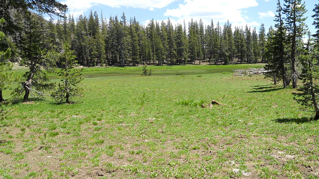
About Carson Falls
Carson Falls is a multi-tiered cascade set along the East Carson River, tucked into Toiyabe National Forest and managed by the U.S. Forest Service. The falls swell in spring and after heavy runoff, creating a photogenic series of drops that make for a satisfying reward after a moderate hike. The setting feels remote and forested, offering seasonal water flow and scenic viewpoints for hikers and photographers alike. Access to the falls is most commonly made via the USFS East Carson River Trail (Trail #21011). The approach threads native forest and rocky tread toward the river; expect uneven footing and steeper pitches as you close in on the falls. Because the route is managed by the Forest Service, trail conditions can vary with season and recent weather, so check local notices before heading out.
The Setting
Carson Falls sits at 6,998 feet within Toiyabe National Forest, in the high mountains of California.
Trail & Hike Details
The Approach
The moderate hike follows East Carson River (#21011), a 3.6-mile out-and-back trail over natural surface. Expect 800 feet of elevation gain with grades of +12-20%. The trail is developed (Class 3).
USFS Trail
EAST CARSON RIVER #21011
Trail Class
Developed
Surface
Avg Grade
USFS Segment
6.54 miTrail Description
USFS East Carson River Trail (Trail #21011). Trail type: out-and-back. Commonly recorded hiking distance is 3.6 miles with roughly 800 ft elevation gain and a moderate difficulty rating; USFS GIS records list the route at 6.54 miles. Trail class: 3. Surface: native material. Typical grade: +12–20% (sustained steeper sections). Expect narrow, rocky and uneven tread with some hands-on scrambling on steeper pitches; suitable for hikers comfortable with Class 3 terrain. Carry water, a map, and be prepared for variable trail conditions.
What to Expect
Dogs are welcome.
Accessibility
The trail is not wheelchair accessible. Uneven terrain and elevation changes require steady footing.
Frequently Asked Questions
🐶 Are Dogs Allowed at Carson Falls?
✅ Dogs are allowed
Are There Any Fees or Permits Required?
🆖 No fees required
🏊 Is There Swimming at Carson Falls?
❌ Swimming is not allowed
When to Visit
The best time to visit Carson Falls is in late winter or early spring, after significant rainfall, when the falls are at their peak flow.
Seasonal Access
The best time to visit is Spring and Winter. Check with Toiyabe National Forest for seasonal road closures.
Safety Information
Be cautious on the trail, as it can be slippery, especially after rain. Watch for poison oak along the path. Stay on designated trails to avoid damaging sensitive habitats.
Current Water Conditions
288 ft³/s
Current discharge — how much water is flowing
About average for this time of year
Based on 100 years of record
3.56 ft
Water depth at gauge
7-Day Discharge Trend
What does this mean for your visit?
Flow is about average for this time of year.
About This Gauge
This gauge is on a nearby waterway and may not reflect exact conditions at the falls.
7-Day Flow Outlook
Based on the USGS gauge W WALKER RV NR COLEVILLE, CA (20 km away).
Today
Barely Flowing
288 cfs
5/10Tomorrow
Barely Flowing
289 cfs
5/10Mon
Barely Flowing
275 cfs
5/10Tue
Barely Flowing
271 cfs
5/10Wed
Barely Flowing
239 cfs
5/10Thu
Barely Flowing
223 cfs
5/10Fri
Barely Flowing
218 cfs
5/10Best window: Today — barely flowing flow, sunny (trip score 5/10).
Best time of year: this gauge typically runs highest from mid April to mid July, peaking in June.
How we calculate this
This is a transparent outlook, not a precise forecast. We take the waterfall's current flow strength (how it ranks against its historical normal for today, from the nearest USGS stream gauge), carry that ranking forward along the gauge's seasonal curve, and nudge it for forecast rain. Confidence is highest for the next day or two and falls further out. Always check official conditions and your own judgment before visiting — high flows can be dangerous.
Know when to go.
Get a free email alert when waterfalls near Walker hit peak flow. We only send when conditions are worth the trip — no weekly newsletters, no spam.
Weather Forecast
Location & Access
Getting There
Carson Falls is accessed via the Pine Mountain Fire Road, starting from the Azalea Hill trailhead near Fairfax, California. The trailhead is located off Bolinas-Fairfax Road.
Get Directions on Google MapsParking
Parking is available at the Azalea Hill trailhead, but spaces are limited. Arrive early to secure a spot, especially on weekends.
Elevation
6,998 feet above sea level
Coordinates
38.488953° N, -119.682513° W
Land Management
Managed by USFS
Visitor Tips & Gear
Wear sturdy hiking shoes, as the trail can be rocky and slippery in places. Bring plenty of water and snacks, as there are no facilities along the trail. Avoid visiting after heavy rains, as the trail may become muddy and hazardous.
This trail sits at 6,998 ft above sea level
Elevated TrailUV radiation is roughly 28% stronger at this elevation than at sea level, and the dry air accelerates dehydration. Extra sun protection and fluids go a long way.
As an Amazon Associate, we earn from qualifying purchases.

Coppertone Sport SPF 50 Sunscreen
UV intensity jumps ~4% per 1,000 ft — at this elevation you can burn in half the time.

Sun Bum SPF 30 Lip Balm (3-Pack)
Lips have almost no natural UV protection and burn fast in thin, dry mountain air.

Liquid I.V. Electrolyte Packets
You lose moisture ~2x faster at elevation — electrolytes help you absorb water efficiently.

ROCKNIGHT Polarized UV400 Sunglasses
High-altitude glare off rock and water is intense — UV400 lenses block 99%+ of UVA/UVB.
As an Amazon Associate, we earn from qualifying purchases.
With 3.6 miles and 800 ft of elevation gain, sturdy boots and trekking poles will help on this moderate trail. Icy conditions are common in winter — traction cleats are a smart addition.

Columbia Watertight II Rain Jacket
Packs into its own pocket, seam-sealed, and keeps you dry from spray and surprise rain.

Earth Pak Waterproof Dry Bag
Keeps your phone and gear dry when waterfall mist soaks everything else.

Waterproof Phone Pouch (AiRunTech)
Cheap insurance — take photos right next to the falls without killing your phone.

Timberland Euro Sprint Mid Waterproof
Trusted waterproof boot with premium leather and grippy rubber sole — reliable on rocky, wet trails.

TrailBuddy Trekking Poles
Lightweight aluminum, cork grips, and flip-locks that actually hold — a best-seller for good reason.

Kahtoola MICROspikes
Cult-favorite traction cleats that grip ice and wet rock — essential for winter waterfall hikes.
Where to Stay

Topaz Lodge

Meadowcliff Lodge Coleville

Toiyabe Motel

Best Western Topaz Lake Inn
Browse vacation cabins and private rentals nearby
Unique outdoor stays — tents, yurts, and treehouses
Rent a campervan or RV for your waterfall road trip
Some links are affiliate links. We may earn a commission at no extra cost to you.
Nearby Campground
Sand Flat Campground (4wd only)
8.2 miles away · 0 sites
4 x 4 drive to six sites with picnic tables, campfire rings. Near the North Fork of the Stanislaus River. Wooded area.Campground is closed.
Book on Recreation.govNearby Hot Springs
Hot springs near Walker, California
Unnamed Spring Lyon County
This unnamed warm spring emerges in Lyon County, Nevada near Smith Valley at 5,019 feet elevation, sitting virtually roadside j...
Unnamed Spring Douglas County
This unnamed thermal spring emerges at an impressive 149 degrees Fahrenheit in Douglas County's Toiyabe National Forest near Ga...
Doud Springs
Doud Springs flows at 70°F on Washoe Ranches Trust Land in Douglas County at 5,750 feet elevation, located 32.6 meters from Lev...
Grover Hot Springs State Park
Grover Hot Springs State Park operates a developed pool complex fed by natural thermal waters at 5,921 feet elevation in Dougla...

Grovers Hot Springs
Grovers Hot Springs emerges at a powerful 147 degrees Fahrenheit in Toiyabe National Forest, displaying a remarkable 100-degree...
Fales Hot Springs
Fales Hot Springs reaches 180°F in the high Sierra Nevada, flowing 137°F hotter than the surrounding air at 7,491 feet elevatio...
Looking for a soak after your hike? Explore more hot springs near Walker, California on SoakingSprings.
Explore California springsAdditional Information
Nearby Attractions
Nearby attractions include Mount Tamalpais State Park, Cataract Falls, and the Marin Municipal Water District trails.
Wildlife
The area is home to a variety of wildlife, including deer, birds, and the endangered California red-legged frog. Keep an eye out for these species but maintain a respectful distance.
Cities near Carson Falls
Nearby Waterfalls
Writing about Carson Falls? Embed this waterfall on your site for free.