
Photo Credits (5)
Difficulty
Moderate
Trail Length
2.4 miles
Trail Type
Out And Back
Elevation Gain
350 ft
About Buck Falls
Buck Falls sits at the east end of the historic community of Hardman in Morrow County, Oregon, just off the Hepner–Spray Highway. The fall is fed by a spring creek that spills down the north skirt of Buck Canyon, creating a quietly scenic cascade tucked into a forested canyon setting. Its remote, lesser-known location makes it a peaceful destination for hikers who enjoy off-the-beaten-path water features and canyon scenery. Access is via a moderate out-and-back route that covers about 2.4 miles with roughly 350 feet of elevation gain; the trail is commonly used by locals and visitors exploring the Hardman area. There is no USFS trail number listed for Buck Falls, and the nearest developed campground is Bull Prairie Campground, approximately 16.8 km away, so plan water and overnight logistics accordingly.
Trail & Hike Details
The Approach
The moderate 2.4-mile out-and-back trail gains 350 feet of elevation on the way to the falls.
Trail Description
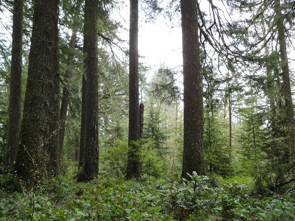
The route to Buck Falls is an out-and-back trail approximately 2.4 miles round trip with about 350 feet of cumulative elevation gain and is generally rated moderate. Official USFS trail surface, grade, and class data are not available for this route, but published trail information lists it as a moderate difficulty hike. Expect a forested approach near the north skirt of Buck Canyon and be prepared for uneven footing and natural trail obstacles on the way to the spring-fed cascade.
What to Expect
Visitors can expect a tranquil setting with a waterfall surrounded by dense forest. The area may be remote and less crowded compared to more popular waterfalls in Oregon.
Accessibility
The trail is not wheelchair accessible. Uneven terrain and elevation changes require steady footing.
Frequently Asked Questions
🐶 Are Dogs Allowed at Buck Falls?
❌ Dogs are not allowed
Are There Any Fees or Permits Required?
🆖 No fees required
🏊 Is There Swimming at Buck Falls?
❌ Swimming is not allowed
When to Visit
Spring and early summer are ideal times to visit, as the waterfall is likely to have higher flow due to snowmelt and rainfall.
Seasonal Access
The best time to visit is Spring, Summer, and Fall. Winter access may be limited.
Safety Information
The trail may be remote and poorly marked. Visitors should inform someone of their plans, carry adequate supplies, and be prepared for emergencies. Watch for slippery rocks near the waterfall.
Know when to go.
Get a free email alert when waterfalls near Lonerock hit peak flow. We only send when conditions are worth the trip — no weekly newsletters, no spam.
Weather Forecast
Location & Access
Getting There
The exact location of Buck Falls is not widely documented. Visitors should consult local maps or contact nearby ranger stations for directions. It may require driving on forest roads.
Get Directions on Google MapsParking
Parking availability is unclear, but visitors may need to park along forest roads or at a nearby trailhead.
Elevation
3,504 feet above sea level
Coordinates
45.124321° N, -119.649694° W
Visitor Tips & Gear
Bring a detailed map or GPS device as the location may be difficult to find. Wear sturdy footwear and be prepared for potential changes in weather.
As an Amazon Associate, we earn from qualifying purchases.
With 2.4 miles and 350 ft of elevation gain, sturdy boots and trekking poles will help on this moderate trail. Sun exposure on the trail makes good sun protection a must in summer.

Polarized Sunglasses (Knockaround)
Cuts glare off the water so you actually see the falls — and your photos turn out better too.

Columbia Watertight II Rain Jacket
Packs into its own pocket, seam-sealed, and keeps you dry from spray and surprise rain.

Earth Pak Waterproof Dry Bag
Keeps your phone and gear dry when waterfall mist soaks everything else.

Waterproof Phone Pouch (AiRunTech)
Cheap insurance — take photos right next to the falls without killing your phone.

Timberland Euro Sprint Mid Waterproof
Trusted waterproof boot with premium leather and grippy rubber sole — reliable on rocky, wet trails.

TrailBuddy Trekking Poles
Lightweight aluminum, cork grips, and flip-locks that actually hold — a best-seller for good reason.
Where to Stay

Browse vacation cabins and private rentals nearby
Unique outdoor stays — tents, yurts, and treehouses
Rent a campervan or RV for your waterfall road trip
Some links are affiliate links. We may earn a commission at no extra cost to you.
Nearby Campground
Bull Prairie Campground (OR)
10.4 miles away · 30 sites
Overview Bull Prairie Campground is a local gem; a beautiful, woodsy place to enjoy a vacation, host a family reunion or social event, and to enjoy multiple recreational pursuits. This moderate-sized campground is located adjacent to 28-acre Bull Prairie Lake, which is stocked annually with trout. An accessible, family-friendly paved trail along the lake is ideal for morning jogs, bicycle rides, picnicking, and shore or dockside fishing. The lake has a boat ramp, dock and trailer parking area, bu
Book on Recreation.govNearby Hot Springs
Hot springs near Lonerock, Oregon
Well Spring
Well Spring flows at 80°F at 849 feet in Morrow County near Boardman, creating a 24.7-degree differential above ambient tempera...
Ritter Hot Springs
Ritter Hot Springs flows at 106°F in Grant County, Oregon, emerging at 2,710 feet elevation just 112 meters from Ritter Hot Spu...
Hidaway Springs
Hidaway Springs flows at 100°F from terrain 78 meters from Hidaway Springs Road in Umatilla County's Blue Mountains near Pilot ...
Lehman Springs
Lehman Springs emerges at 142°F near Pilot Rock in Umatilla County, requiring a 151-meter walk from Lehman Springs Road. Docume...
Mount Vernon Hot Springs
Mount Vernon Hot Springs flows at 121°F in Grant County's mountains, emerging at 3,448 feet elevation and running 72 degrees ab...
Looking for a soak after your hike? Explore more hot springs near Lonerock, Oregon on SoakingSprings.
Explore Oregon springsAdditional Information
Nearby Attractions
Other waterfalls and hiking trails in the surrounding area may be worth exploring.
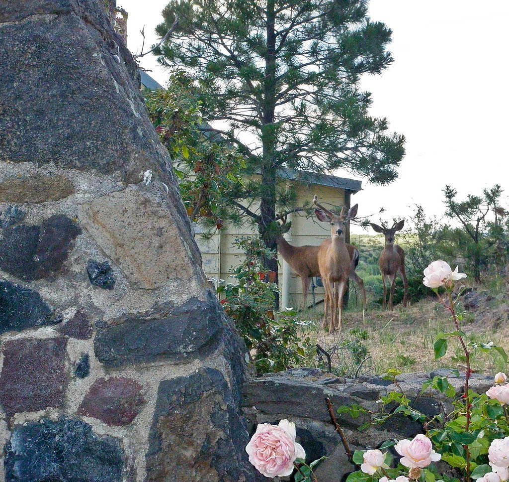
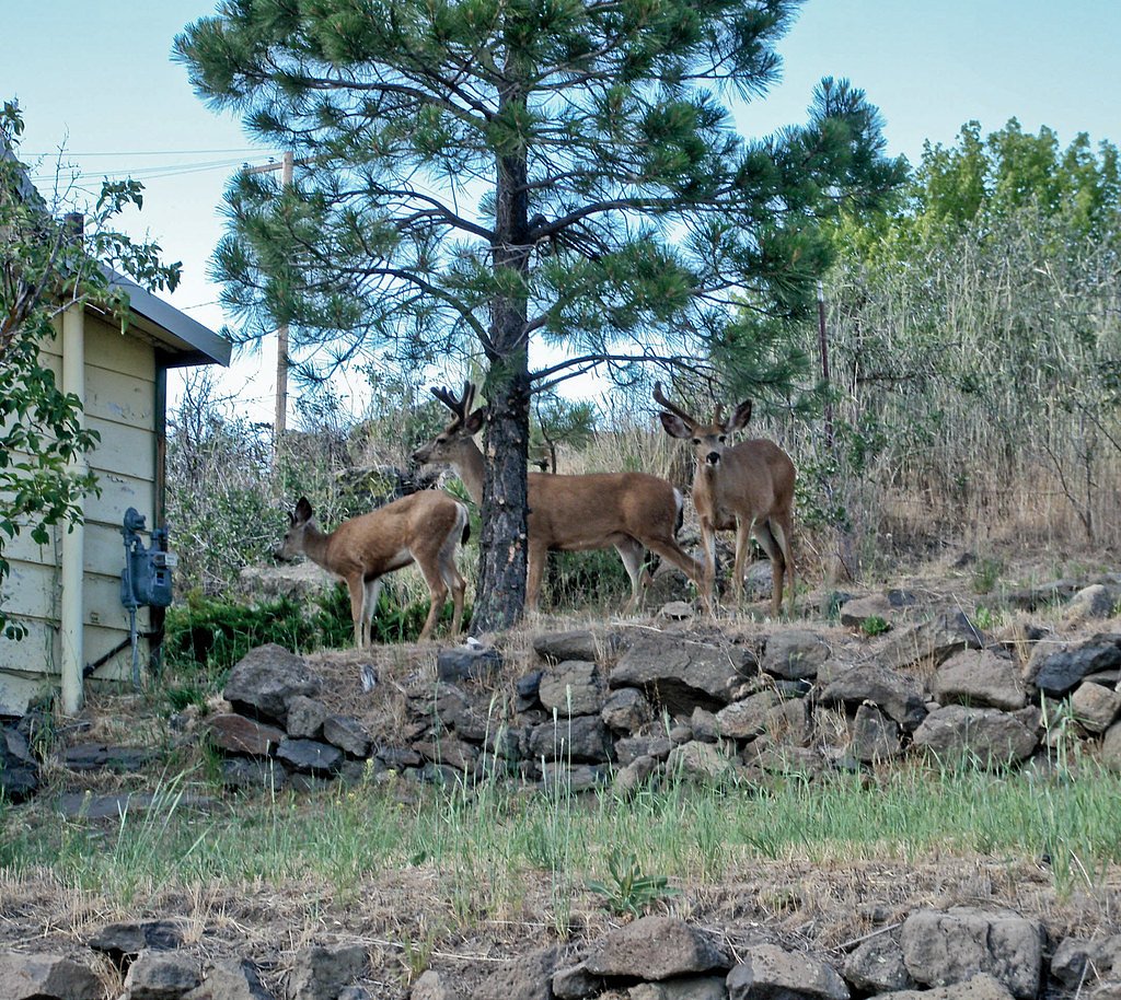
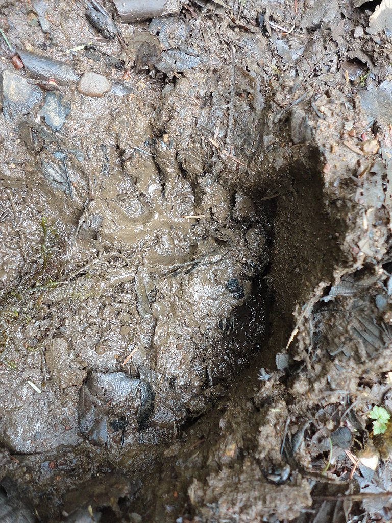
Wildlife
The area may host a variety of wildlife, including birds, deer, and small mammals. Be cautious of potential encounters with bears or other larger animals.
Cities near Buck Falls
Nearby Waterfalls
Writing about Buck Falls? Embed this waterfall on your site for free.