Photo Credits (5)
About Big Flow
Big Flow is a little-documented waterfall in Arizona that sits within the Navajo Nation Reservation. Land records list the owner as DESG and the site is designated and managed as tribal land (TRIB), so access and stewardship are overseen by Navajo Nation authorities. Exact dimensions and year-round flow information aren’t widely published; like many desert and high‑country cascades, Big Flow may be seasonal and responds to rainfall and snowmelt, making late spring and after-storm windows the most promising times to visit. The approach rewards a modest effort with a sense of remoteness rather than a developed park experience. Hikers should plan for a moderate outing and confirm current access rules or permitting with tribal managers before heading out, and be prepared for limited services and signage on arrival.
The Setting
Big Flow sits at 6,906 feet within Navajo Nation Reservation, in the high mountains of Arizona.
Trail & Hike Details
Trail Description
Trail summary: 2.4 miles round-trip (out-and-back) with approximately 350 feet of elevation gain; rated moderate. There is no USFS trail name or number provided in the available data, and standardized USFS trail details for surface, grade, and class are not documented for this route. Because the waterfall and approach lie on Navajo Nation (TRIB) land, check with tribal authorities for access information and any route-specific guidance before attempting the hike.
What to Expect
Expect a potentially remote and less-visited waterfall. Conditions may vary depending on the season and recent weather.
Accessibility
Accessibility information is not available. The area may not be suitable for individuals with mobility challenges.
Frequently Asked Questions
🐶 Are Dogs Allowed at Big Flow?
❌ Dogs are not allowed
Are There Any Fees or Permits Required?
🆖 No fees required
🏊 Is There Swimming at Big Flow?
❌ Swimming is not allowed
When to Visit
The best time to visit may be after seasonal rains or snowmelt, typically in spring or early summer.
Seasonal Access
The best time to visit is Spring, Summer, Fall, and Winter. Watch for flash flood warnings during monsoon season (July through September).
Safety Information
Visitors should be prepared for rugged terrain and potentially remote conditions. Carry sufficient water, and be aware of weather changes and wildlife.
Know when to go.
Get a free email alert when waterfalls near Del Muerto hit peak flow. We only send when conditions are worth the trip — no weekly newsletters, no spam.
Weather Forecast
The Terrain, Seen by LiDAR
Aircraft-mounted lasers measured this ground to within inches. Trees and buildings are digitally stripped away, leaving the bare shape of the land the water has carved.
Along the line through the falls, the bare ground drops about 284 feet, most of it in one sheer step, the signature of a plunge waterfall. The ground at the falls is roughly 6,985 feet above sea level.
The ground changes about 29 feet in the 500 feet above the falls and 261 feet in the 500 feet below. Facing north, the falls stay mostly shaded, with soft, even light all day.
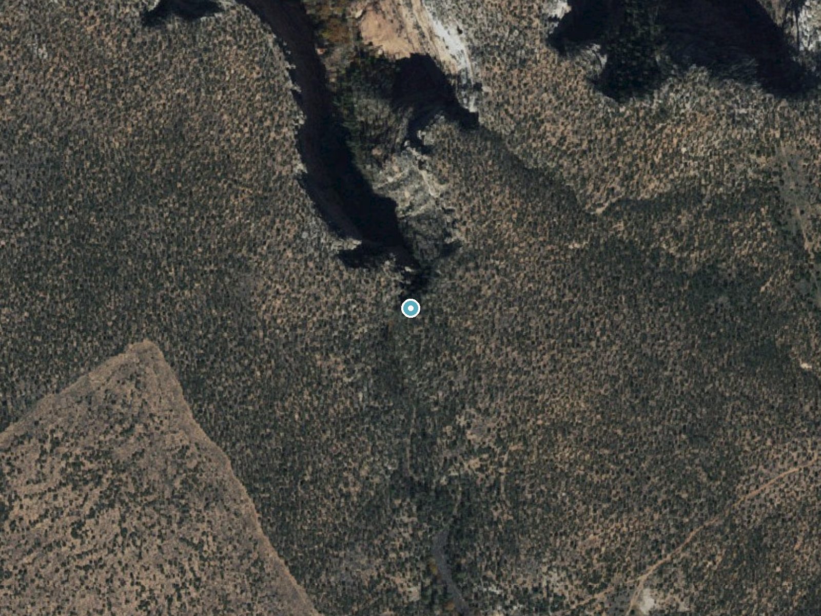
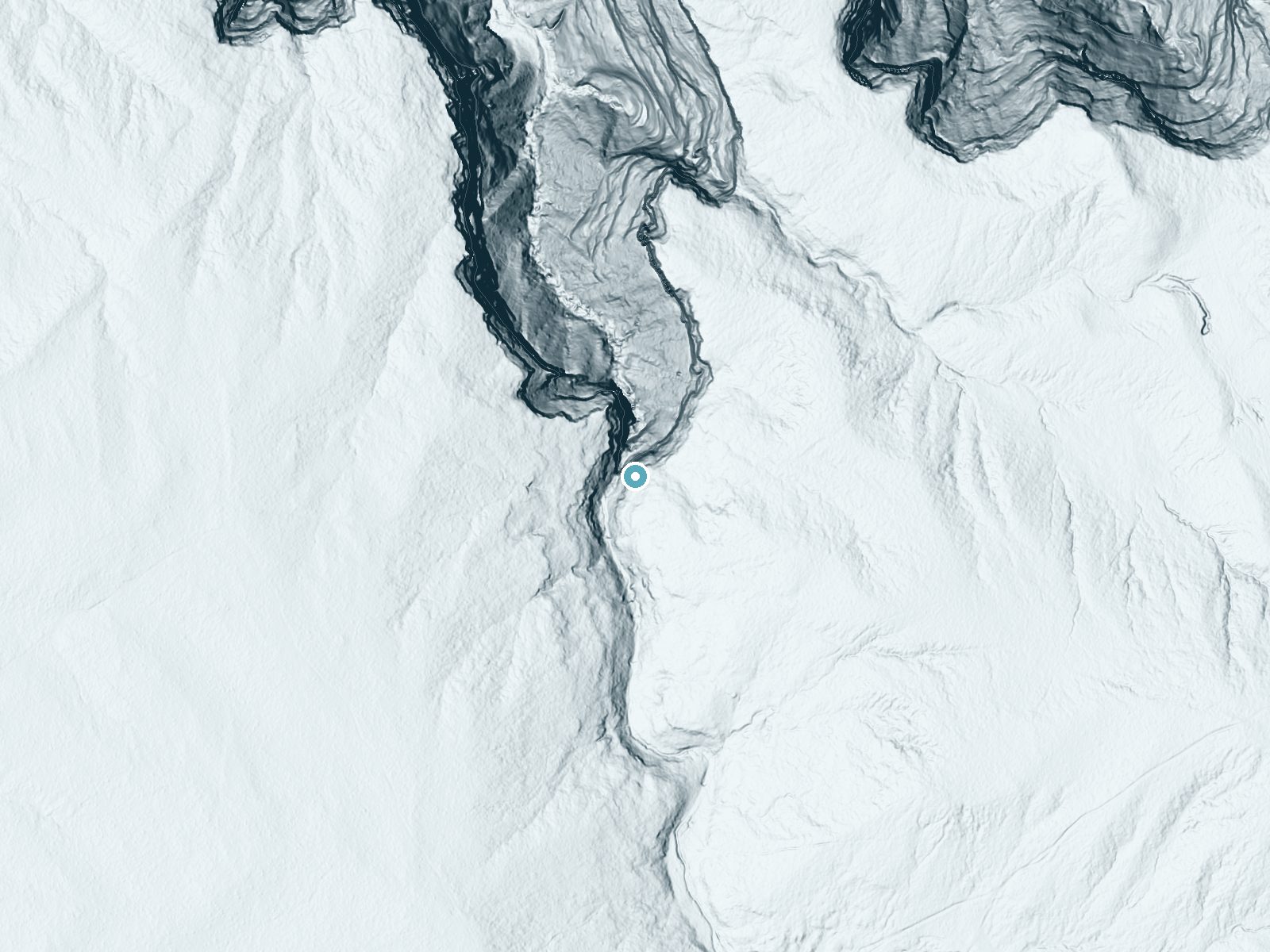
Drag to compare. The dot marks the waterfall. The frame is about a mile across.
- Ground elevation
- 6,985 feet
- Measured by 1-meter lidar
- Drop at the falls
- About 284 feet
- Change in ground height within ~250 feet of the falls
- Faces
- North
- Mostly shaded, so the light stays soft and even all day.
A slice through the lidar ground surface, from above the falls to downstream (heading north).
Elevation data: USGS 3D Elevation Program. Aerial imagery: USGS The National Map. Public domain.
Location & Access
Getting There
Details about the exact location and access to Big Flow are unclear. It is recommended to consult local hiking resources or park services for directions.
Get Directions on Google MapsParking
Parking availability is not confirmed. Visitors should check with local authorities or trail resources for guidance.
Elevation
6,906 feet above sea level
Coordinates
36.235836° N, -109.322881° W
Land Management
Managed by TRIB
Visitor Tips & Gear
Bring a detailed map or GPS device, as the location and trail may not be well-marked. Check weather conditions and ensure you have adequate supplies for a potentially rugged hike.
This trail sits at 6,906 ft above sea level
Elevated TrailUV radiation is roughly 28% stronger at this elevation than at sea level, and the dry air accelerates dehydration. Extra sun protection and fluids go a long way.
As an Amazon Associate, we earn from qualifying purchases.

Coppertone Sport SPF 50 Sunscreen
UV intensity jumps ~4% per 1,000 ft — at this elevation you can burn in half the time.

Sun Bum SPF 30 Lip Balm (3-Pack)
Lips have almost no natural UV protection and burn fast in thin, dry mountain air.

Liquid I.V. Electrolyte Packets
You lose moisture ~2x faster at elevation — electrolytes help you absorb water efficiently.

ROCKNIGHT Polarized UV400 Sunglasses
High-altitude glare off rock and water is intense — UV400 lenses block 99%+ of UVA/UVB.
Where to Stay
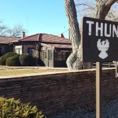
Thunderbird Lodge

Best Western Canyon De Chelly Inn
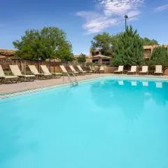
Holiday Inn Canyon De Chelly-Chinle by IHG
Browse vacation cabins and private rentals nearby
Unique outdoor stays — tents, yurts, and treehouses
Rent a campervan or RV for your waterfall road trip
Some links are affiliate links. We may earn a commission at no extra cost to you.
Additional Information
Nearby Attractions
Nearby attractions are not documented. Visitors may explore other natural landmarks in Arizona.
Wildlife
Wildlife in the area may include typical Arizona desert and forest species. Be cautious of snakes and other potentially hazardous animals.
Cities near Big Flow
Writing about Big Flow? Embed this waterfall on your site for free.