Photo Credits (5)
Difficulty
Moderate
Trail Length
2.4 miles
Trail Type
Out And Back
Elevation Gain
350 ft
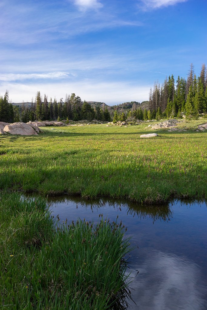
About Beartooth Falls
Beartooth Falls is a scenic, easily accessible cascade along the Beartooth Highway tucked within Shoshone National Forest and managed by the U.S. Forest Service. A roadside pullout on the highway puts the falls within arm’s reach for travelers—no lengthy approach is required to enjoy the crashing water framed by the region’s rugged alpine terrain and dramatic views. If you want to stretch your legs, the nearby BEARTOOTH CR TRAIL (Trail #619) offers a short, moderate out-and-back option that stays within the same forest unit. Island Lake Campground is about 5.0 km away for those planning an overnight stay in the area, making Beartooth Falls a great stop on a longer Shoshone National Forest outing.
The Setting
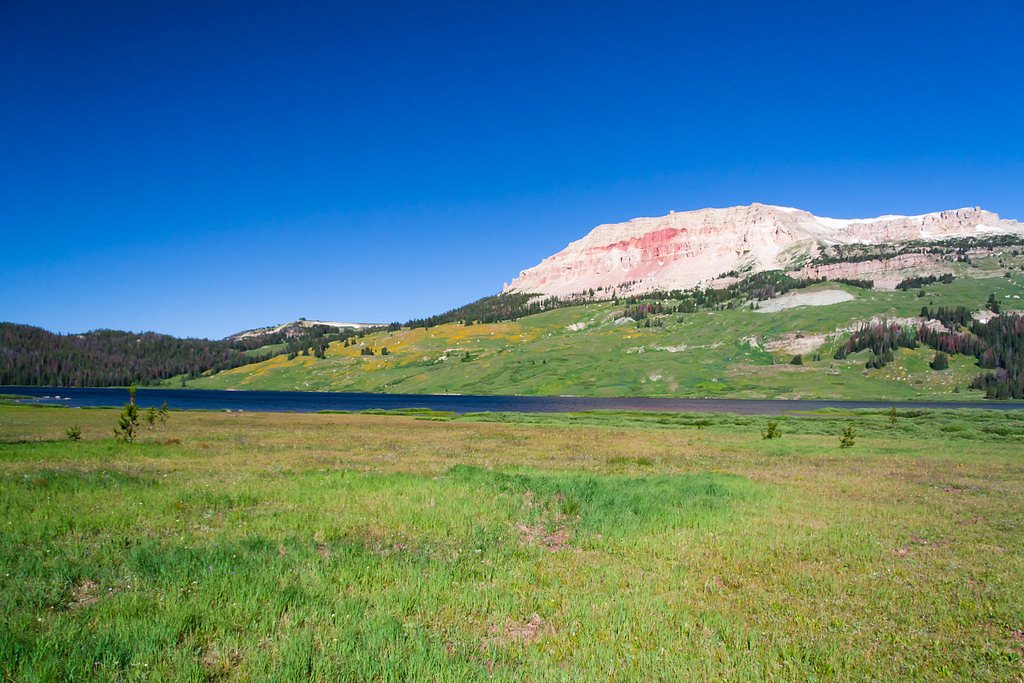
Beartooth Falls sits at 8,760 feet within Shoshone National Forest, in the high alpine of Wyoming.
Trail & Hike Details
The Approach
The moderate hike follows Beartooth Cr Trail (#619), a 2.4-mile out-and-back trail over natural surface. Expect 350 feet of elevation gain with grades of 12-20%. The trail is moderately developed (Class 2).
USFS Trail
BEARTOOTH CR TRAIL #619
Trail Class
Moderately Developed
Surface
Avg Grade
USFS Segment
0.97 miTrail Description
No formal hike is required to view Beartooth Falls—the falls are visible from a roadside pullout on the Beartooth Highway. For hikers, the USFS-maintained BEARTOOTH CR TRAIL (Trail #619) provides a nearby out-and-back route: class 2, native material surface, typical grade 12–20%. USFS data lists a GIS length of 0.97 miles, while common trail summaries report a 2.4-mile round trip with about 350 feet of elevation gain; difficulty is rated moderate.
What to Expect
Dogs are welcome.
Accessibility
The trail is not wheelchair accessible. Uneven terrain and elevation changes require steady footing.
Frequently Asked Questions
🐶 Are Dogs Allowed at Beartooth Falls?
✅ Dogs are allowed
Are There Any Fees or Permits Required?
🆖 No fees required
🏊 Is There Swimming at Beartooth Falls?
❌ Swimming is not allowed
When to Visit
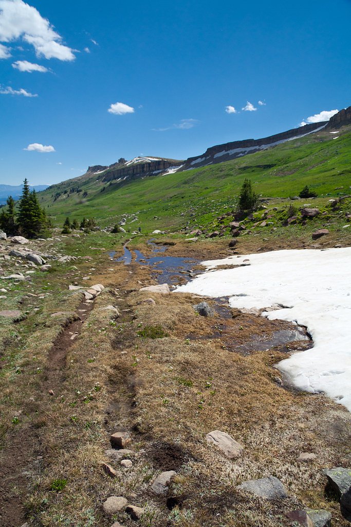
The best time to visit Beartooth Falls is during late spring through early fall when the Beartooth Highway is open and the waterfall is flowing at its peak due to snowmelt.
Seasonal Access
The best time to visit is Spring, Summer, and Fall. Access roads and trails may close during winter due to snow. Check with Shoshone National Forest for seasonal road closures.
Safety Information
Be cautious when parking along the highway, as traffic can be heavy. Stay a safe distance from the edge of the pullout area and avoid climbing on rocks near the falls. Weather in the area can change rapidly, so dress appropriately.
Know when to go.
Get a free email alert when waterfalls near Cooke City hit peak flow. We only send when conditions are worth the trip — no weekly newsletters, no spam.
Weather Forecast
Location & Access
Getting There
Beartooth Falls is located along the Beartooth Highway (U.S. Route 212), approximately 25 miles east of Cooke City, Montana, and near the Wyoming-Montana border. The falls are visible from the highway, making them easily accessible.
Get Directions on Google MapsParking
There is a small pullout area along the Beartooth Highway where visitors can park to view the falls.
Elevation
8,760 feet above sea level
Coordinates
44.937132° N, -109.603283° W
Land Management
Managed by USFS
Visitor Tips & Gear
Visit early in the day to avoid crowds, especially during the summer months. Be cautious when parking along the highway, as traffic can be busy. Bring a camera to capture the stunning views.
This trail sits at 8,760 ft — the air is noticeably thinner
High AltitudeSome visitors experience headaches, fatigue, or shortness of breath at this elevation. Take it slow, stay hydrated, and consider supplemental oxygen if you're coming from a lower altitude.
As an Amazon Associate, we earn from qualifying purchases.

Coppertone Sport SPF 50 Sunscreen
UV intensity jumps ~4% per 1,000 ft — at this elevation you can burn in half the time.

Sun Bum SPF 30 Lip Balm (3-Pack)
Lips have almost no natural UV protection and burn fast in thin, dry mountain air.

Liquid I.V. Electrolyte Packets
You lose moisture ~2x faster at elevation — electrolytes help you absorb water efficiently.

ROCKNIGHT Polarized UV400 Sunglasses
High-altitude glare off rock and water is intense — UV400 lenses block 99%+ of UVA/UVB.

Boost Oxygen 10L Canister (2-Pack)
Portable supplemental oxygen for quick relief from headaches and shortness of breath.

Altitude Rx OxyBoost Complex
Antioxidant formula designed to support your body's natural altitude acclimation.
As an Amazon Associate, we earn from qualifying purchases.
With 2.4 miles and 350 ft of elevation gain, sturdy boots and trekking poles will help on this moderate trail. Sun exposure on the trail makes good sun protection a must in summer.

Polarized Sunglasses (Knockaround)
Cuts glare off the water so you actually see the falls — and your photos turn out better too.

Columbia Watertight II Rain Jacket
Packs into its own pocket, seam-sealed, and keeps you dry from spray and surprise rain.

Earth Pak Waterproof Dry Bag
Keeps your phone and gear dry when waterfall mist soaks everything else.

Waterproof Phone Pouch (AiRunTech)
Cheap insurance — take photos right next to the falls without killing your phone.

Timberland Euro Sprint Mid Waterproof
Trusted waterproof boot with premium leather and grippy rubber sole — reliable on rocky, wet trails.

TrailBuddy Trekking Poles
Lightweight aluminum, cork grips, and flip-locks that actually hold — a best-seller for good reason.
Where to Stay

Beartooth Hideaway Inn & Cabins

Alpine Motel of Cooke City

Rock Creek Resort

Antlers Lodge
Browse vacation cabins and private rentals nearby
Unique outdoor stays — tents, yurts, and treehouses
Rent a campervan or RV for your waterfall road trip
Some links are affiliate links. We may earn a commission at no extra cost to you.
Nearby Campground
Island Lake Campground
3.1 miles away · 0 sites
This beautiful high mountain lake campground has 21 newly remodeled sites. There is always plenty to do at this campground; hiking, fishing, wildlife viewing, and beautiful wildflowers galore. 16-day stay limitWater: AvailableThis site is not accessible to persons with mobility impairments.No cell serviceNotes: Maximum spur 32 feet. Boat ramp closed until winter ice clears.Fish Your National Forests: This site can be accessed by Passenger Car; Fish available include: Trout; Types of fishing avail
Book on Recreation.govNearby Hot Springs
Hot springs near Cooke City, Wyoming
Hot Springs
This warm spring emerges at 7,948 feet elevation in Yellowstone's northeastern wilderness, 11.5 miles from Northeast Entrance R...
Hot, On Lamar River
A warm spring emerges along the Lamar River at 6,777 feet elevation in Yellowstone's renowned wildlife corridor, approximately ...
Hot Springs
Perched at 8,683 feet in Yellowstone's alpine backcountry, this warm spring sits 12.2 miles from Hoodoo Basin Trail, making it ...

Calcite Springs
Calcite Springs emerges at 201 degrees Fahrenheit along the walls of the Grand Canyon of the Yellowstone, where superheated wat...
Rainbow Springs
Rainbow Springs discharges at 190 degrees Fahrenheit—157 degrees above the frigid 32-degree ambient—in Yellowstone's remote bac...
Hot Spring Basin Group
Hot Spring Basin Group erupts at 198 degrees Fahrenheit at 8,388 feet elevation in Yellowstone's northeastern wilderness, posit...
Looking for a soak after your hike? Explore more hot springs near Cooke City, Wyoming on SoakingSprings.
Explore Wyoming springsAdditional Information
Nearby Attractions
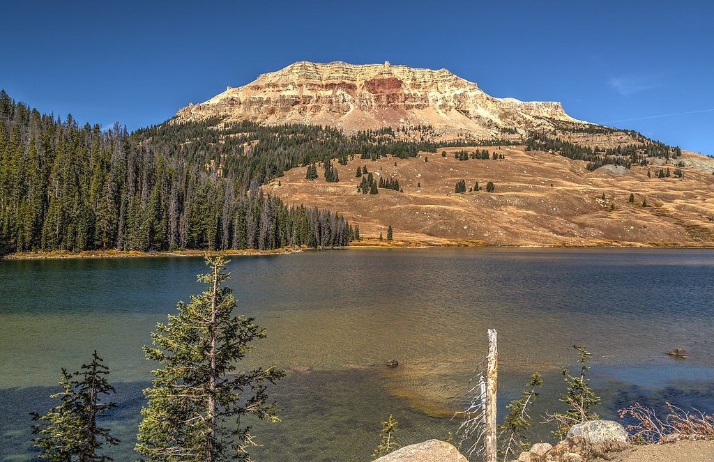
Nearby attractions include the Beartooth Pass, Yellowstone National Park (via the northeast entrance), and the Absaroka-Beartooth Wilderness.
Wildlife
The area is home to wildlife such as deer, elk, marmots, and occasionally bears. Visitors should exercise caution and avoid feeding or approaching wildlife.
Cities near Beartooth Falls
Writing about Beartooth Falls? Embed this waterfall on your site for free.