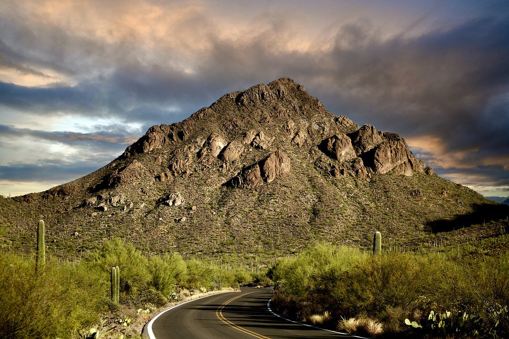
Photo Credits (2)
Difficulty
Moderate
Trail Length
2.4 miles
Trail Type
Out And Back
Elevation Gain
350 ft
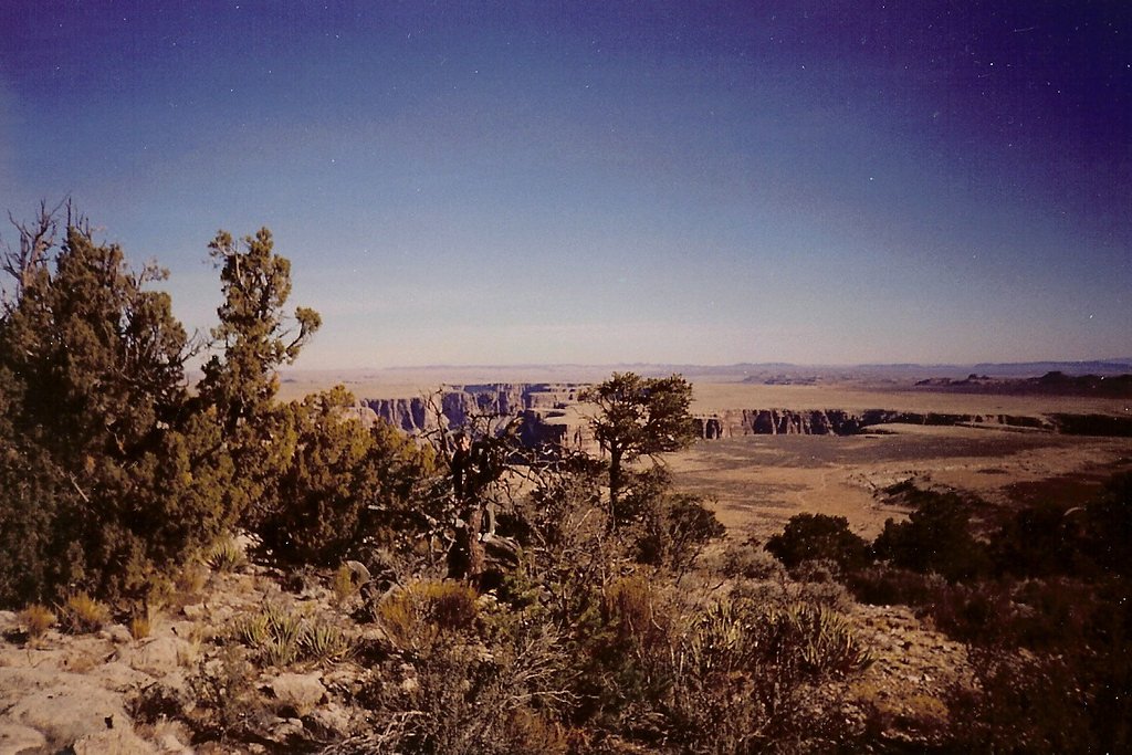
About Apache Falls
Apache Falls is a scenic waterfall located in Colorado, known for its natural beauty and serene surroundings. It is part of the Cache la Poudre River area, offering visitors a chance to enjoy the cascading waters amidst a picturesque landscape. The falls are a popular spot for nature enthusiasts and photographers.
The Setting
Apache Falls sits at 8,776 feet within San Isabel National Forest, in the high alpine of Colorado.
Trail & Hike Details
The Approach
The moderate hike follows Apache Falls (#1357), a 2.4-mile out-and-back trail over natural surface. Expect 350 feet of elevation gain. The trail is minimally developed (Class 1).
USFS Trail
APACHE FALLS #1357
Trail Class
Minimally Developed
Surface
USFS Segment
0.45 miTrail Description
The trail to Apache Falls is relatively short and easy, making it suitable for most visitors, including families. It follows a well-defined path along the Cache la Poudre River, offering scenic views of the surrounding forest and river. The trail may have some uneven terrain, so sturdy footwear is recommended.
What to Expect
Dogs are welcome.
Accessibility
The trail is not wheelchair accessible. Uneven terrain and elevation changes require steady footing.
Frequently Asked Questions
🐶 Are Dogs Allowed at Apache Falls?
✅ Dogs are allowed
Are There Any Fees or Permits Required?
🆖 No fees required
🏊 Is There Swimming at Apache Falls?
❌ Swimming is not allowed
When to Visit
Spring and early summer are the best times to visit Apache Falls, as the water flow is typically at its peak due to snowmelt. Fall offers beautiful foliage, while summer provides warm weather for hiking.
Seasonal Access
The best time to visit is Spring, Summer, and Fall. Access roads and trails may close during winter due to snow. Check with San Isabel National Forest for seasonal road closures.
Safety Information
Be cautious of slippery rocks near the falls and strong river currents. Check weather conditions before visiting, as the area may be prone to flash flooding during heavy rains.
Know when to go.
Get a free email alert when waterfalls near Rye hit peak flow. We only send when conditions are worth the trip — no weekly newsletters, no spam.
Weather Forecast
Location & Access
Getting There
Apache Falls is located along the Cache la Poudre River in northern Colorado. It can be accessed via Highway 14, also known as the Cache la Poudre Scenic Byway. Visitors should look for signs or trailheads leading to the falls.
Get Directions on Google MapsParking
Parking is available along Highway 14 near the trailhead. However, spaces may be limited during peak seasons, so arriving early is recommended.
Elevation
8,776 feet above sea level
Coordinates
37.854731° N, -104.988880° W
Land Management
Managed by USFS
Visitor Tips & Gear
Arrive early to secure parking, especially during weekends or holidays. Bring water, sunscreen, and sturdy shoes. Be cautious of slippery rocks near the falls and stay on designated trails to protect the environment.
This trail sits at 8,776 ft — the air is noticeably thinner
High AltitudeSome visitors experience headaches, fatigue, or shortness of breath at this elevation. Take it slow, stay hydrated, and consider supplemental oxygen if you're coming from a lower altitude.
As an Amazon Associate, we earn from qualifying purchases.

Coppertone Sport SPF 50 Sunscreen
UV intensity jumps ~4% per 1,000 ft — at this elevation you can burn in half the time.

Sun Bum SPF 30 Lip Balm (3-Pack)
Lips have almost no natural UV protection and burn fast in thin, dry mountain air.

Liquid I.V. Electrolyte Packets
You lose moisture ~2x faster at elevation — electrolytes help you absorb water efficiently.

ROCKNIGHT Polarized UV400 Sunglasses
High-altitude glare off rock and water is intense — UV400 lenses block 99%+ of UVA/UVB.

Boost Oxygen 10L Canister (2-Pack)
Portable supplemental oxygen for quick relief from headaches and shortness of breath.

Altitude Rx OxyBoost Complex
Antioxidant formula designed to support your body's natural altitude acclimation.
As an Amazon Associate, we earn from qualifying purchases.
With 2.4 miles and 350 ft of elevation gain, sturdy boots and trekking poles will help on this moderate trail. Sun exposure on the trail makes good sun protection a must in summer.

Polarized Sunglasses (Knockaround)
Cuts glare off the water so you actually see the falls — and your photos turn out better too.

Columbia Watertight II Rain Jacket
Packs into its own pocket, seam-sealed, and keeps you dry from spray and surprise rain.

Earth Pak Waterproof Dry Bag
Keeps your phone and gear dry when waterfall mist soaks everything else.

Waterproof Phone Pouch (AiRunTech)
Cheap insurance — take photos right next to the falls without killing your phone.

Timberland Euro Sprint Mid Waterproof
Trusted waterproof boot with premium leather and grippy rubber sole — reliable on rocky, wet trails.

TrailBuddy Trekking Poles
Lightweight aluminum, cork grips, and flip-locks that actually hold — a best-seller for good reason.
Where to Stay

Under the Rye Sky New-Build Home Near Trails!

Days Inn by Wyndham Colorado City

Cozy Cabin on the Creek

Idyllic Rye Cabin Deck with Mountain Views!
Browse vacation cabins and private rentals nearby
Unique outdoor stays — tents, yurts, and treehouses
Rent a campervan or RV for your waterfall road trip
Some links are affiliate links. We may earn a commission at no extra cost to you.
Nearby Campground
PONDEROSA GROUP - LAKE ISABEL
8.9 miles away · 1 sites
Overview Ponderosa Group Campground, located near the sparkling 40-acre Lake Isabel, beckons large groups for picnicking and camping in the Lake Isabel Recreation Area. The campground accommodates 60 guests for overnight camping. Visitors can enjoy entertainment like volleyball and horseshoes, or head to the lake for canoeing and fishing. Lake Isabel is one of the few lakes in Colorado developed solely for recreational purposes. Built by the Civilian Conservation Corps, the lake attracts many cam
Book on Recreation.govNearby Hot Springs
Hot springs near Rye, Colorado
Desert Reef Hot Spring
Desert Reef Hot Spring emerges in Fremont County's high-desert landscape near Penrose as a warm mineral spring characterized by...
Dakota Hot Springs
Dakota Hot Springs occupies the low-elevation foothills of Fremont County, situated just 49 meters from Malibu Boulevard as a m...

Canon City Hot Springs
Canon City Hot Springs emerges at an impressive 104 degrees Fahrenheit near Canon City in Fremont County, just 31 meters from R...
Sand Dunes Pool
Sand Dunes Pool sits at 7,539 feet in Colorado's San Luis Valley, just eight meters from a gravel road. At this remote, high-el...

Valley View Hot Springs
Valley View Hot Springs flows at 99 degrees Fahrenheit from the eastern slopes of the Sangre de Cristo Range at 8,850 feet elev...
Splashland Hot Springs
Splashland Hot Springs reaches 40.5 degrees Celsius (105 degrees Fahrenheit) at just 13 meters from a gravel road near Alamosa ...
Looking for a soak after your hike? Explore more hot springs near Rye, Colorado on SoakingSprings.
Explore Colorado springsAdditional Information
Nearby Attractions
The Cache la Poudre Scenic Byway, hiking trails, and picnic areas along the river.
Wildlife
The area is home to various wildlife, including deer, birds, and small mammals. Visitors should be cautious and avoid feeding or approaching animals.
Cities near Apache Falls
Writing about Apache Falls? Embed this waterfall on your site for free.