
Photo Credits (5)
Difficulty
Moderate
Trail Length
2.4 miles
Trail Type
Out And Back
Elevation Gain
350 ft
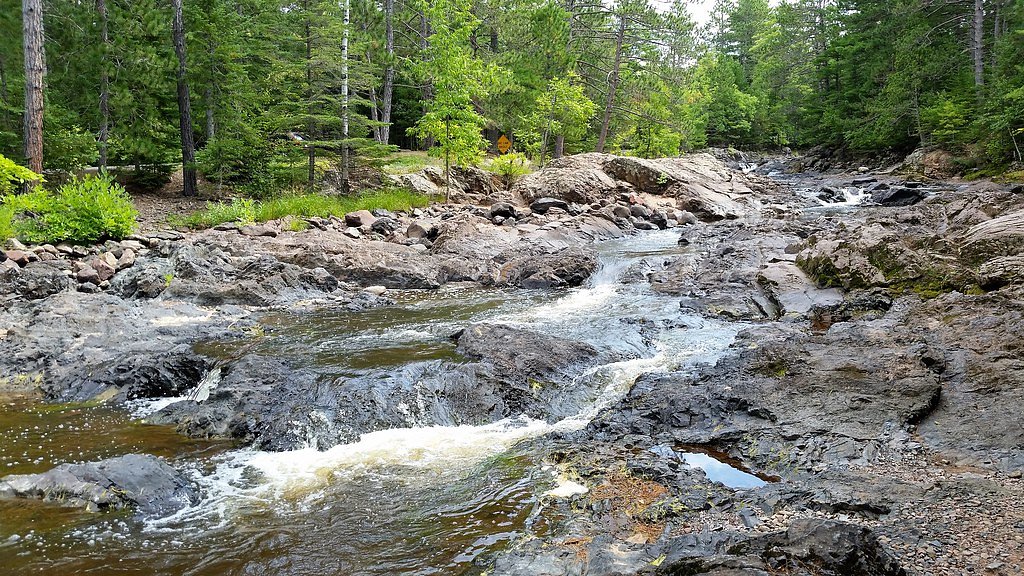
About Amnicon Falls
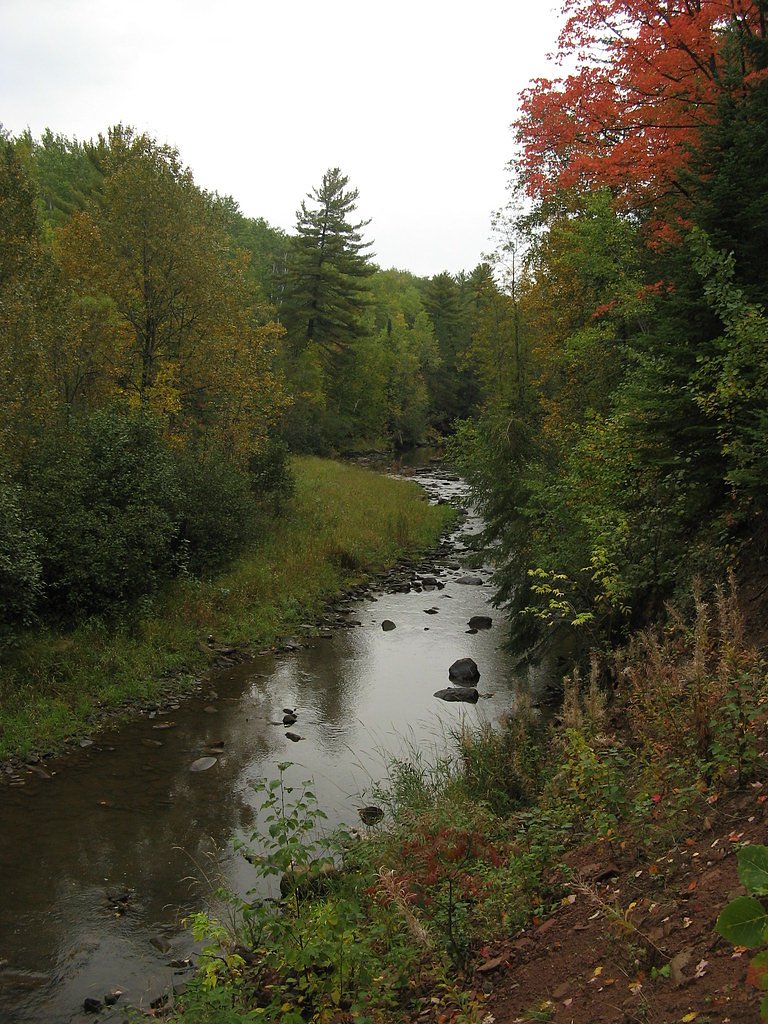
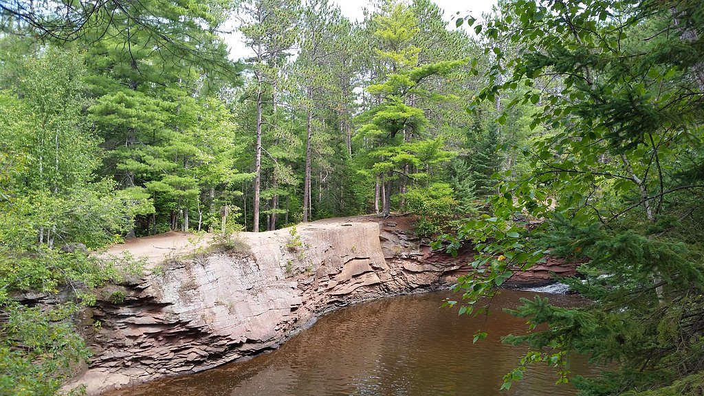
Amnicon Falls is a picturesque waterfall located within Amnicon Falls State Park in Wisconsin. The falls are part of the Amnicon River and are known for their scenic beauty, featuring multiple cascades and a historic covered bridge that adds to the charm of the area.
The Setting
Amnicon Falls sits at 741 feet within Amnicon Falls State Park, fed by the Nemadji River, in the foothills of Wisconsin.
Trail & Hike Details
The Approach
The moderate 2.4-mile out-and-back trail gains 350 feet of elevation on the way to the falls.
Trail Description
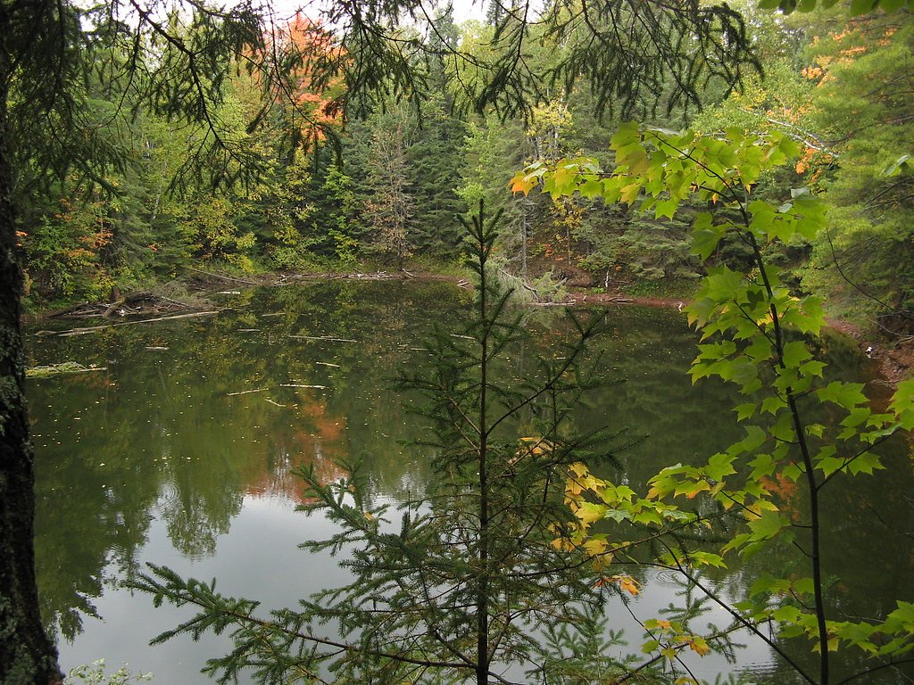
The trails around Amnicon Falls are well-maintained and form a loop that allows visitors to explore the various cascades and scenic spots within the park. The trails are relatively flat and suitable for most visitors, including families with children.
What to Expect
Dogs are welcome.
Accessibility
The trail is not wheelchair accessible. Uneven terrain and elevation changes require steady footing.
Frequently Asked Questions
🐶 Are Dogs Allowed at Amnicon Falls?
✅ Dogs are allowed
Are There Any Fees or Permits Required?
🤑 Fee: $8.00
🏊 Is There Swimming at Amnicon Falls?
❌ Swimming is not allowed
When to Visit
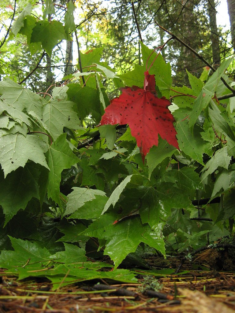
Spring is ideal for viewing the falls at their fullest due to snowmelt, while summer and fall offer pleasant weather and vibrant foliage. Winter provides a unique experience with frozen cascades, but trails may be icy.
Seasonal Access
The best time to visit is Spring, Summer, Fall, and Winter.
Safety Information
Exercise caution near the water as rocks can be slippery. Stay on marked trails and avoid climbing on the falls. In winter, trails may be icy, so wear appropriate footwear.
Current Water Conditions
182 ft³/s
Current discharge — how much water is flowing
About average for this time of year
Based on 52 years of record
5.10 ft
Water depth at gauge
7-Day Discharge Trend
What does this mean for your visit?
Flow is about average for this time of year.
About This Gauge
This gauge is on a nearby waterway and may not reflect exact conditions at the falls.
7-Day Flow Outlook
Based on the USGS gauge NEMADJI RIVER NEAR SOUTH SUPERIOR, WI (16 km away).
Today
Roaring
208 cfs
6/10Tomorrow
Roaring
211 cfs
9/10Thu
Roaring
206 cfs
6/10Fri
Roaring
227 cfs
6/10Sat
Roaring
221 cfs
6/10Sun
Roaring
207 cfs
6/10Mon
Roaring
206 cfs
6/10Best window: Tomorrow — roaring flow, mostly sunny (trip score 9/10).
Best time of year: this gauge typically runs highest from late March to early June, peaking in April.
How we calculate this
This is a transparent outlook, not a precise forecast. We take the waterfall's current flow strength (how it ranks against its historical normal for today, from the nearest USGS stream gauge), carry that ranking forward along the gauge's seasonal curve, and nudge it for forecast rain. Confidence is highest for the next day or two and falls further out. Always check official conditions and your own judgment before visiting — high flows can be dangerous.
Know when to go.
Get a free email alert when waterfalls near Poplar hit peak flow. We only send when conditions are worth the trip — no weekly newsletters, no spam.
Weather Forecast
Location & Access
Getting There
Amnicon Falls State Park is located approximately 7 miles east of Superior, Wisconsin, off US Highway 2. The park is well-signposted, and the falls are easily accessible from the parking area.
Get Directions on Google MapsParking
There is a designated parking area within Amnicon Falls State Park, close to the falls. Parking is generally ample, but it may fill up during peak seasons.
Elevation
741 feet above sea level
Coordinates
46.609940° N, -91.892411° W
Land Management
Managed by SDNR
Visitor Tips & Gear
Wear sturdy shoes as the trails can be slippery near the water. Bring a camera to capture the beauty of the falls and the covered bridge. Visit early in the morning or on weekdays to avoid crowds.
As an Amazon Associate, we earn from qualifying purchases.
With 2.4 miles and 350 ft of elevation gain, sturdy boots and trekking poles will help on this moderate trail. Icy conditions are common in winter — traction cleats are a smart addition.

Columbia Watertight II Rain Jacket
Packs into its own pocket, seam-sealed, and keeps you dry from spray and surprise rain.

Polarized Sunglasses (Knockaround)
Cuts glare off the water so you actually see the falls — and your photos turn out better too.

Earth Pak Waterproof Dry Bag
Keeps your phone and gear dry when waterfall mist soaks everything else.

Waterproof Phone Pouch (AiRunTech)
Cheap insurance — take photos right next to the falls without killing your phone.

Timberland Euro Sprint Mid Waterproof
Trusted waterproof boot with premium leather and grippy rubber sole — reliable on rocky, wet trails.

TrailBuddy Trekking Poles
Lightweight aluminum, cork grips, and flip-locks that actually hold — a best-seller for good reason.
Where to Stay

Park Point Marina Inn

Super 8 by Wyndham Superior WI

South Pier Inn

Hampton Inn Superior Duluth, Wi
Browse vacation cabins and private rentals nearby
Unique outdoor stays — tents, yurts, and treehouses
Rent a campervan or RV for your waterfall road trip
Some links are affiliate links. We may earn a commission at no extra cost to you.
Additional Information
Nearby Attractions
Nearby attractions include Pattison State Park, home to Big Manitou Falls, and the city of Superior, which offers dining and lodging options.
Wildlife
The park is home to various wildlife, including deer, birds, and small mammals. Visitors may also spot fish in the river.
Cities near Amnicon Falls
Writing about Amnicon Falls? Embed this waterfall on your site for free.