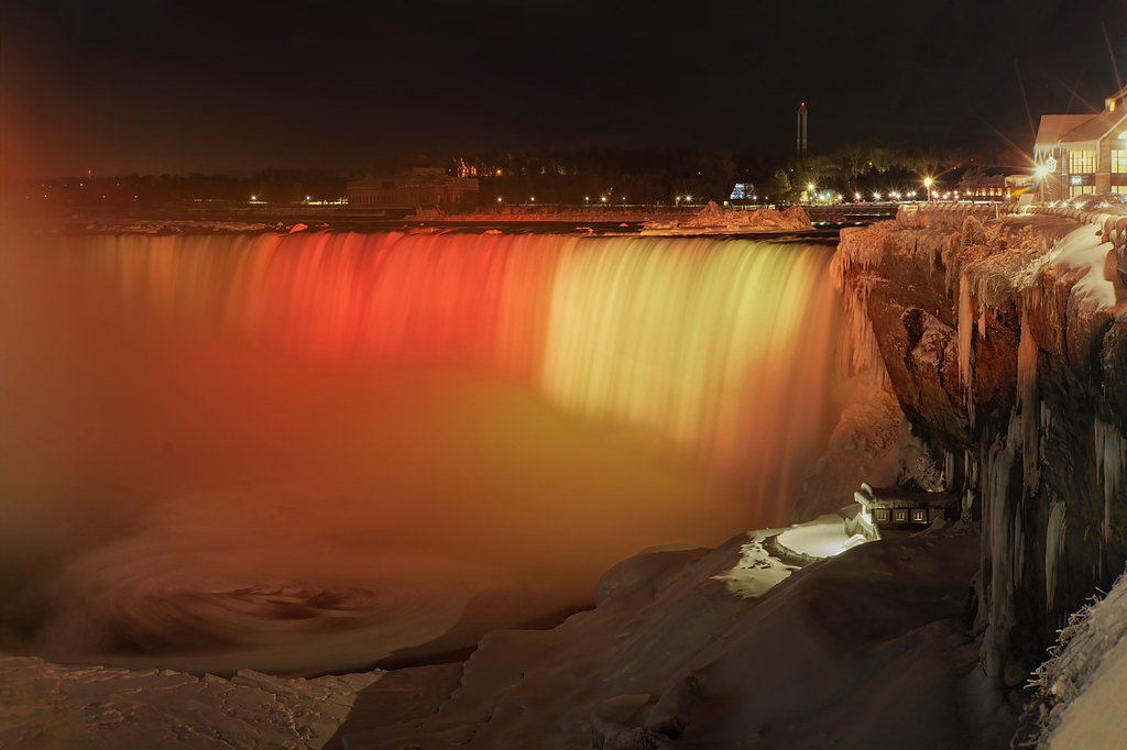
Photo Credits (5)
About Yellow Falls
Yellow Falls is a remote forest waterfall in northeastern Ontario (coords: 49.1222, -81.6157). It is located in a sparsely populated, boreal-forest landscape roughly 28 miles from Cochrane, 44 miles from Timmins and 49 miles from Kapuskasing. Detailed, maintained visitor facilities and official signage are not well documented; access appears to be via secondary/forestry roads and unmarked footpaths. Water flow and appearance vary seasonally (typically highest in spring). Specific height measurements and formal survey data are not readily available.
Why This Waterfall Exists
Yellow Falls flows over hard metamorphic rock, primarily marble and iron formation, laid down over 2.5-3.2 billion years ago. The softer siltstone and mudstone erodes faster than the resistant marble and iron formation, creating a ledge that the water plunges over.
Trail & Hike Details
Trail Description
There is no widely published, maintained trail description for Yellow Falls. Approaches in this region are commonly along rough forest/industrial roads followed by unmarked footpaths through mixed boreal forest and over uneven, rocky terrain. Expect variable footing, root and rock obstacles, and short bushwhacks. Route-finding skills and a reliable GPS or topo map are recommended.
What to Expect
A natural, relatively undeveloped waterfall in boreal forest. Expect rocky stream channels, moss-covered boulders, and variable water volume depending on season. Mosquitoes and black flies are common in spring and summer. Cell reception may be spotty or non-existent. No guaranteed services (water, toilets, signage) at the site. Slippery rocks, steep or unstable banks and seasonal ice are hazards.
Accessibility
Likely not accessible for wheelchairs or people with limited mobility. Terrain is expected to be rough and uneven with unmaintained approaches.
Frequently Asked Questions
🐶 Are Dogs Allowed at Yellow Falls?
❌ Dogs are not allowed
Are There Any Fees or Permits Required?
🆖 No fees required
🏊 Is There Swimming at Yellow Falls?
❌ Swimming is not allowed
When to Visit
Late spring for highest flow and dramatic water; early fall for foliage and fewer bugs. Summer is accessible but can be buggy; winter offers frozen scenery but increases access hazards and requires winter travel experience and equipment.
Seasonal Access
The best time to visit is Spring, Summer, Fall, and Winter. Check with the managing park or local authority for current conditions.
Safety Information
• Slippery rocks and wet surfaces near the falls can cause falls and injury. Exercise caution near edges. • Bank collapse and undercutting can occur, stay back from unstable edges. • Water currents and cold water present drowning and hypothermia risks; do not assume safe swimming conditions. • Wildlife encounters (including black bear and moose) are possible, carry bear spray and know how to use it. • Forestry roads can be soft, rutted or impassable after rain; check conditions and travel prepared. • Cell coverage may be poor; carry navigation aids and inform someone of your plans.
Current Water Conditions
Based on a Water Survey of Canada gauge 37.4 km away
61.1 m³/s
Current discharge — how much water is flowing
About average for this time of year
Based on 91 years of record
29.41 m
Water depth at gauge
7-Day Discharge Trend
What does this mean for your visit?
Flow is about average for this time of year.
About This Gauge
This gauge is on a regional waterway. Conditions at the falls may differ, especially after local rain.
7-Day Flow Outlook
Based on the WSC gauge GROUNDHOG RIVER AT FAUQUIER (37 km away).
Today
Moderate
61 m³/s
6/10Tomorrow
Moderate
60 m³/s
5/10Tue
Moderate
61 m³/s
5/10Wed
Moderate
62 m³/s
5/10Thu
Moderate
59 m³/s
5/10Fri
Moderate
53 m³/s
6/10Sat
Moderate
52 m³/s
6/10Best window: Today — moderate flow, cloudy (trip score 6/10).
Best time of year: this gauge typically runs highest from mid April to early July, peaking in May.
How we calculate this
This is a transparent outlook, not a precise forecast. We take the waterfall's current flow strength (how it ranks against its historical normal for today, from the nearest WSC stream gauge), carry that ranking forward along the gauge's seasonal curve, and nudge it for forecast rain. Confidence is highest for the next day or two and falls further out. Always check official conditions and your own judgment before visiting — high flows can be dangerous.
Know when to go.
Get a free email alert when waterfalls near Cochrane hit peak flow. We only send when conditions are worth the trip — no weekly newsletters, no spam.
Weather Forecast
Location & Access
Getting There
Access is most likely by driving on provincial highways toward Cochrane/Timmins/Kapuskasing and then taking secondary or forestry roads toward the coordinates (49.1222, -81.6157). Roads in this region can be gravel and may require a high-clearance or 4x4 vehicle; some approaches may require a hike from the nearest maintained road. Expect limited signage. Check local land management authorities (District forestry office or municipality) and recent trip reports before traveling.
Get Directions on Google MapsParking
There may be limited or informal roadside parking at the end of a forestry road or pullout; formal parking lots are unlikely. Park clear of gates, private driveways and avoid blocking equipment access. If in doubt, park where it is clearly safe and legal and proceed on foot.
Elevation
233 metres above sea level
Coordinates
49.122221° N, -81.615651° W
Visitor Tips & Gear
• Verify current access by contacting local municipality or forest district before travel. • Use a high-clearance vehicle if you must travel forestry roads; consider parking earlier and hiking in. • Wear sturdy waterproof boots with good traction; expect slippery rock and mud. • Bring insect repellent and long sleeves in summer; black flies and mosquitoes can be intense. • Travel with a partner, tell someone your route, and carry a physical map or reliable GPS. • Respect private property and posted signs; do not trespass. • Be cautious on frozen waterfalls in winter, ice can be unstable.
Where to Stay
Browse vacation cabins and private rentals nearby
Unique outdoor stays — tents, yurts, and treehouses
Rent a campervan or RV for your waterfall road trip
Some links are affiliate links. We may earn a commission at no extra cost to you.
Additional Information
Nearby Attractions
Nearby population centres include Cochrane (≈28 miles), Timmins (≈44 miles) and Kapuskasing (≈49 miles). These towns provide visitor services. The region also contains lakes, rivers and provincial recreation areas typical of northeastern Ontario, consult local tourism resources for specific attractions and up-to-date recommendations.
Wildlife
Typical boreal species may be present: black bear, moose, white-tailed deer, beaver, fox, small mammals and a variety of birds and waterfowl. Insects (mosquitoes and black flies) are common in warm months.
Cities near Yellow Falls
Nearby Waterfalls
Writing about Yellow Falls? Embed this waterfall on your site for free.