Waddell Falls
Nova Scotia • 3 m
By Armen Suny · Last verified Oct 2026
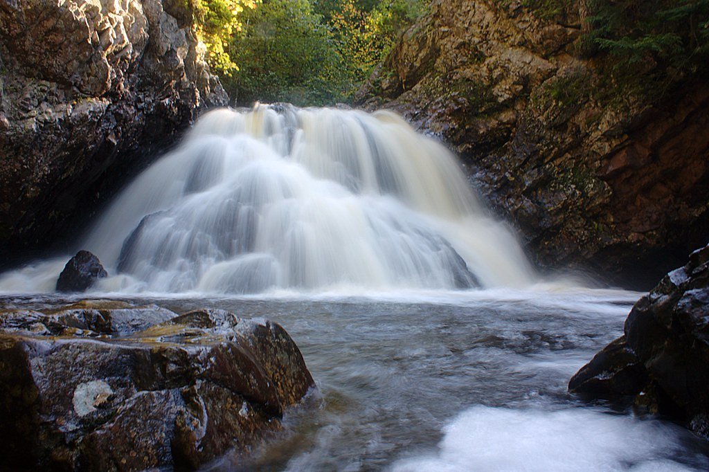
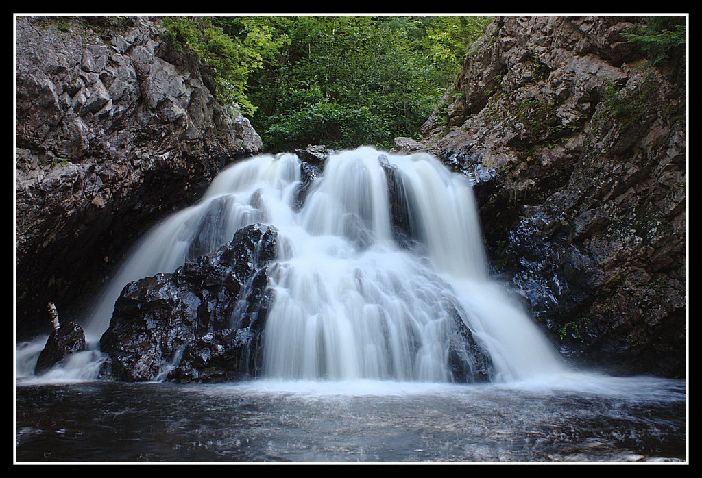
Photo Credits (4)
Difficulty
Easy
Trail Length
1.4 km
Trail Type
Out And Back
About Waddell Falls
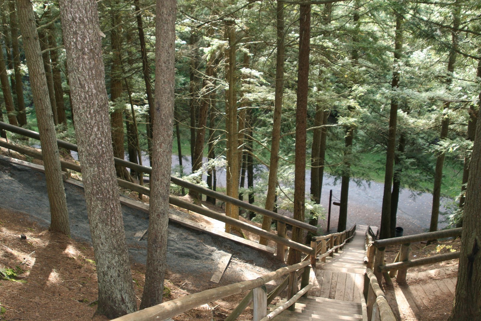
Waddell Falls is a small waterfall, about 10 ft (3 m) high, on Lepper Brook in Victoria Park, a roughly 3,000-acre woodland park in the town of Truro. It sits a short way upstream of Joseph Howe Falls, and the park's trails follow the Lepper Brook gorge on boardwalks, bridges and wooden staircases. Park access is free and open year-round.
The Setting
Waddell Falls sits at 79 metres in the coastal lowlands of Nova Scotia. The falls drop 3 metres.
Why This Waterfall Exists
Waddell Falls flows over layered sedimentary rock laid down about 201-252 million years ago. Over time, the stream has worn through these layers at different rates, creating a 10-foot drop that forms the waterfall.
Trail & Hike Details
Trail Description
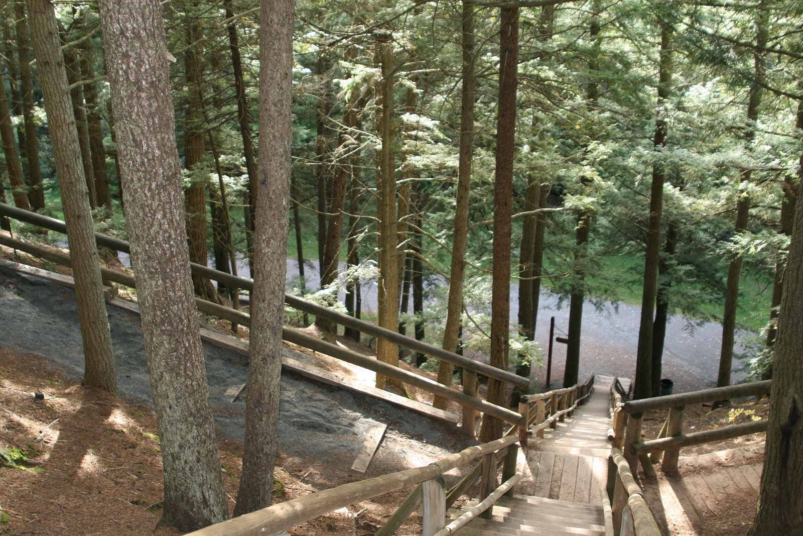
From the parking area at the end of Palmer Street, a clearly marked trail follows the east side of Lepper Brook past Joseph Howe Falls to Waddell Falls, about 0.9 mi (1.4 km) round trip. The walk is mostly level, with only the last portion a bit uphill. Park trail surfaces include asphalt, crushed gravel and wooden boardwalks.
What to Expect
The falls drop a gentle 3 metres over layered sedimentary rock. Dogs are welcome.
Accessibility
The trail is short and relatively flat, but the surface may be uneven. Contact the managing agency for accessibility details.
Frequently Asked Questions
🐶 Are Dogs Allowed at Waddell Falls?
✅ Dogs are allowed
Victoria Park rules require pets to be kept on a leash and owners to pick up after them.
Are There Any Fees or Permits Required?
🆖 No fees required
🏊 Is There Swimming at Waddell Falls?
❌ Swimming is not allowed
When to Visit
Spring (for peak water flow) and early fall (for cooler temperatures and fall color) are generally the best times to see the falls. Summer provides easier access and more comfortable hiking, but flows can be lower in dry spells. Winter can offer ice formations but presents increased hazards and access limitations.
Seasonal Access
The best time to visit is Spring, Summer, and Fall. Winter access may be limited. Check with the managing park or local authority for current conditions.
Safety Information
Hazards include slippery rocks, unstable edges near the stream, cold water, sudden increases in flow after rain, limited cell service, and seasonal ice. Wear appropriate footwear, stay a safe distance from the falls edge, avoid climbing on wet rock, and exercise extra caution in winter when ice can be brittle. If black bears are known locally, carry bear-aware supplies and know how to react to encounters.
Current Water Conditions
These readings come from the Water Survey of Canada gauge on Mcclures Brook, 2.2 km away, not on Waddell Falls's own stream. Use them as a sign of whether the area is running wet or dry.
1.1 m³/s
Current discharge — how much water is flowing
1.13 m
Water depth at gauge
7-Day Discharge Trend
About This Gauge
7-Day Flow Outlook
Based on the WSC gauge MCCLURES BROOK AT COBEQUID TRAIL (2 km away).
Today
Moderate
0.1 m³/s
6/10Tomorrow
Moderate
0.1 m³/s
8/10Sat
Moderate
0.1 m³/s
8/10Sun
Moderate
0.1 m³/s
8/10Mon
Moderate
0.1 m³/s
8/10Tue
Moderate
0.1 m³/s
6/10Wed
Moderate
0.1 m³/s
8/10Best window: Tomorrow — moderate flow, cloudy (trip score 8/10).
How we calculate this
This is a transparent outlook, not a precise forecast. We take the waterfall's current flow strength (how it ranks against its historical normal for today, from the nearest WSC stream gauge), carry that ranking forward along the gauge's seasonal curve, and nudge it for forecast rain. Confidence is highest for the next day or two and falls further out. Always check official conditions and your own judgment before visiting — high flows can be dangerous.
Know when to go.
Get a free email alert when waterfalls near New Glasgow hit peak flow. We only send when conditions are worth the trip — no weekly newsletters, no spam.
Weather Forecast
Location & Access
Getting There
Victoria Park is in Truro. The main entrance and parking lot are at 29 Park Road. For the shortest walk to the falls, take Brunswick Street to Palmer Street and park in the gravel lot at the end of Palmer Street.
Get Directions on Google MapsParking
Free parking at the main lot at 29 Park Road, with additional parking at the end of Palmer Street, at 212 Wood Street and at 40 Douglas Street.
Elevation
79 metres above sea level
Coordinates
45.352908° N, -63.269641° W
Visitor Tips & Gear
Park rules: keep pets leashed and pick up after them, no smoking, no fires, no camping, no motor vehicles, and carry out your trash. Trails and staircases can be slippery when wet.
Where to Stay
Browse vacation cabins and private rentals nearby
Unique outdoor stays — tents, yurts, and treehouses
Rent a campervan or RV for your waterfall road trip
Some links are affiliate links. We may earn a commission at no extra cost to you.
Nearby Campground
Scotia Pine Campground
7.6 km away
Additional Information
Nearby Attractions
Victoria Park also has Joseph Howe Falls, Jacob's Ladder, the Holy and Wishing Wells, a playground, splash pad and swimming pool. The Railyard Mountain Bike Park has its main entrance at 627 Young Street.
Wildlife
Typical Nova Scotia wildlife may be present: songbirds, waterfowl, white-tailed deer, and small mammals. Black bears and moose can occur in parts of Nova Scotia, sightings are uncommon near small roadside falls but be aware of wildlife precautions. Ticks can be present in warm months.
Cities near Waddell Falls
Nearby Waterfalls
Writing about Waddell Falls? Embed this waterfall on your site for free.