Upper Coca Cola Falls
By Armen Suny · Last verified Jun 2026
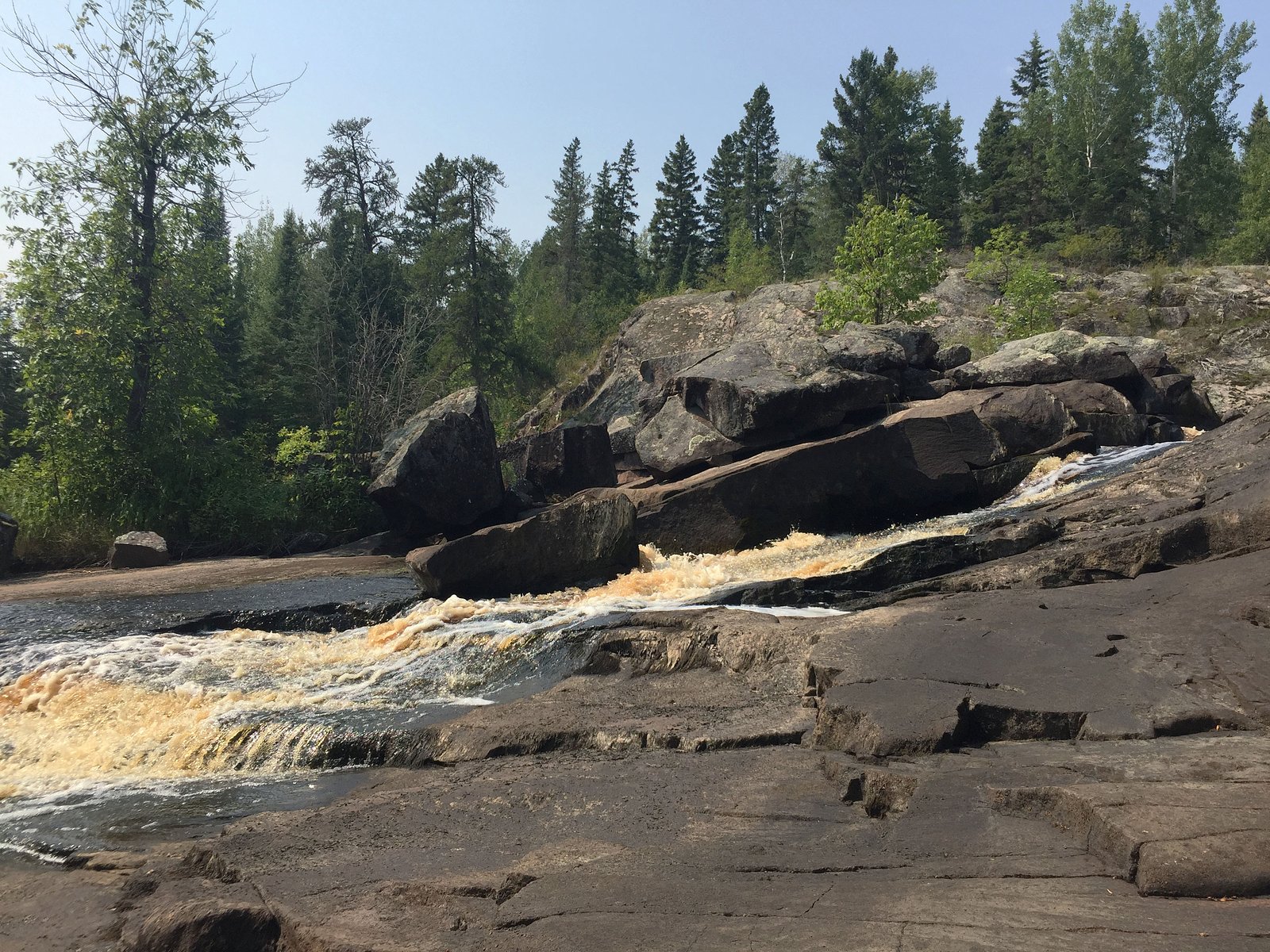
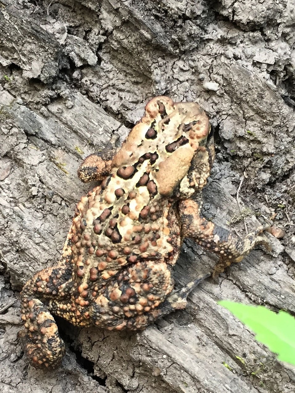
Photo Credits (4)
Difficulty
Moderate
Trail Length
3.9 km
Trail Type
Out And Back
Elevation Gain
95 m
About Upper Coca Cola Falls
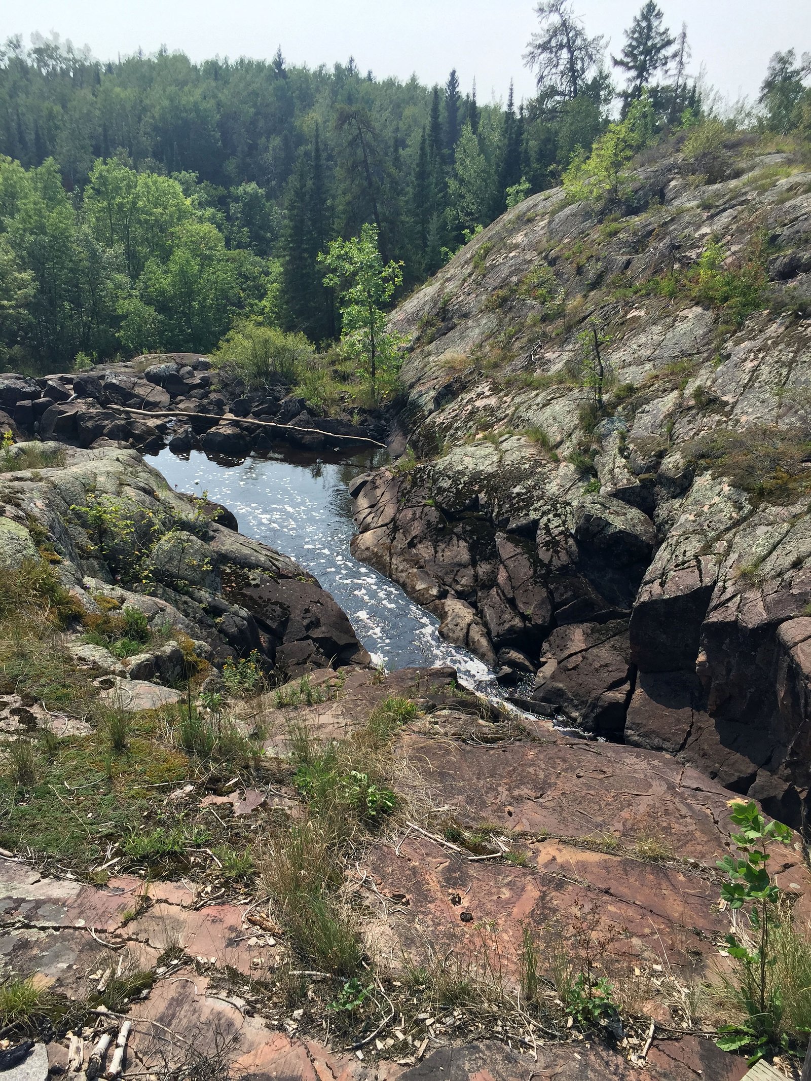
Upper Coca Cola Falls is a small, locally-named cascade located in south-central Manitoba near the eastern shore of Lake Winnipeg. The falls are best described as a rocky, multi-step drop through boreal/parkland forest and may have highly seasonal flow, highest in spring snowmelt and after heavy rain, lower in late summer. This is a relatively remote, lightly developed site; there may be no formal lookout, signage, or maintained trail to the falls. Visitors should be prepared for route-finding over uneven, rocky ground and potentially wet conditions.
Why This Waterfall Exists
Upper Coca Cola Falls flows over hard intrusive rock laid down over 2.5-2.8 billion years ago. These resistant rocks form a durable ledge that water cannot easily wear away, creating the falls where softer material downstream has already eroded.
Trail & Hike Details
The Approach
The moderate 3.9-km out-and-back trail gains 95 metres of elevation on the way to the falls.
Trail Description
There does not appear to be a widely maintained or waymarked trail to Upper Coca Cola Falls. Reaching the falls may require walking cross-country over mixed forest and rock, possibly following an old logging track or game trail. Expect uneven, rocky ground, fallen timber, and one or more stream crossings depending on route and season. Route-finding skills, a map or GPS with the provided coordinates, and footwear suitable for wet, rocky terrain are recommended.
What to Expect
A modest, scenic cascade with rocky ledges and pools that may be more prominent in spring and after heavy rain. Surrounding habitat is typical Manitoba boreal/parkland transition, mixed spruce, poplar, and willow with wetlands nearby. There is likely limited infrastructure: no railings, toilets, or maintained viewpoints. Insects (black flies, mosquitoes) can be intense in late spring and early summer. Conditions can be slippery and unstable near the water; water is cold year-round.
Accessibility
The trail is not wheelchair accessible. Uneven terrain and elevation changes require steady footing.
Frequently Asked Questions
🐶 Are Dogs Allowed at Upper Coca Cola Falls?
❌ Dogs are not allowed
Are There Any Fees or Permits Required?
🆖 No fees required
🏊 Is There Swimming at Upper Coca Cola Falls?
❌ Swimming is not allowed
When to Visit
Spring (snowmelt) and early summer for the strongest flows and more dramatic appearance; fall for color and fewer insects. Winter may freeze the falls into ice features but can be hazardous and requires winter experience and gear.
Seasonal Access
The best time to visit is Spring, Summer, and Fall. Winter access may be limited. Check with the managing park or local authority for current conditions.
Safety Information
Hazards include slippery wet rock, steep or unstable banks, cold water and strong currents, seasonal high flows, ticks and biting insects, limited cell service, and potentially poor road conditions. Use caution near edges, avoid getting too close to fast-moving water, and do not attempt climbs or approaches beyond your skill level. In winter, ice can be unstable and avalanche is unlikely in this low-relief area but icy surfaces are hazardous. If uncertain about conditions, consult local authorities or experienced local hikers before visiting.
Current Water Conditions
Based on a Water Survey of Canada gauge 40.5 km away
7.4 m³/s
Current discharge — how much water is flowing
About average for this time of year
Based on 38 years of record
1.26 m
Water depth at gauge
7-Day Discharge Trend
What does this mean for your visit?
Flow is about average for this time of year.
About This Gauge
This gauge is on a regional waterway. Conditions at the falls may differ, especially after local rain.
7-Day Flow Outlook
Based on the WSC gauge BIRD RIVER AT OUTLET OF BIRD LAKE (40 km away).
Today
Moderate
7.4 m³/s
8/10Tomorrow
Moderate
7.8 m³/s
6/10Tue
Moderate
7.2 m³/s
8/10Wed
Moderate
6.8 m³/s
8/10Thu
Moderate
7.2 m³/s
6/10Fri
Moderate
7.2 m³/s
6/10Sat
Moderate
7.1 m³/s
6/10Best window: Today — moderate flow, cloudy (trip score 8/10).
Best time of year: this gauge typically runs highest from late April to late July, peaking in June.
How we calculate this
This is a transparent outlook, not a precise forecast. We take the waterfall's current flow strength (how it ranks against its historical normal for today, from the nearest WSC stream gauge), carry that ranking forward along the gauge's seasonal curve, and nudge it for forecast rain. Confidence is highest for the next day or two and falls further out. Always check official conditions and your own judgment before visiting — high flows can be dangerous.
Know when to go.
Get a free email alert when waterfalls near Gimli hit peak flow. We only send when conditions are worth the trip — no weekly newsletters, no spam.
Weather Forecast
Location & Access
Getting There
Coordinates: 50.4757, -95.9859. The falls are located in a rural area of Manitoba; the nearest notable communities are Gimli (~50–51 miles by road) and Selkirk (~54 miles by road). Access likely requires driving on secondary/rural roads and then walking from an informal pullout. Expect limited or no signage and little to no cell coverage in places. Confirm local access rules and road conditions before traveling.
Get Directions on Google MapsParking
There may be only an informal roadside pullout or no formal parking area. Park well off the road, avoid blocking gates or driveways, and do not park on private property. If visiting in wet seasons, expect muddy or soft shoulder conditions.
Elevation
249 metres above sea level
Coordinates
50.475723° N, -95.985926° W
Visitor Tips & Gear
• Tell someone your route and expected return time, area may be remote and have limited cell service. • Wear sturdy, waterproof boots with good traction; bring trekking poles for balance on wet rocks. • Carry a printed map or offline GPS; the provided coordinates are useful for navigation. • Check road conditions and weather before you go; rural roads can become impassable in wet or thaw conditions. • Practice Leave No Trace: pack out all garbage, avoid disturbing vegetation, and do not create new social trails. • Be cautious near cliff edges and fast-moving water; rocks are slippery and currents may be stronger than they appear. • Respect private property and posted signs; if access crosses private land, obtain permission.
As an Amazon Associate, we earn from qualifying purchases.
With 3.9 km and 95 m of elevation gain, sturdy boots and trekking poles will help on this moderate trail. Sun exposure on the trail makes good sun protection a must in summer.

Polarized Sunglasses (Knockaround)
Cuts glare off the water so you actually see the falls — and your photos turn out better too.

Columbia Watertight II Rain Jacket
Packs into its own pocket, seam-sealed, and keeps you dry from spray and surprise rain.

Earth Pak Waterproof Dry Bag
Keeps your phone and gear dry when waterfall mist soaks everything else.

Waterproof Phone Pouch (AiRunTech)
Cheap insurance — take photos right next to the falls without killing your phone.

Timberland Euro Sprint Mid Waterproof
Trusted waterproof boot with premium leather and grippy rubber sole — reliable on rocky, wet trails.

TrailBuddy Trekking Poles
Lightweight aluminum, cork grips, and flip-locks that actually hold — a best-seller for good reason.
Where to Stay
Browse vacation cabins and private rentals nearby
Unique outdoor stays — tents, yurts, and treehouses
Rent a campervan or RV for your waterfall road trip
Some links are affiliate links. We may earn a commission at no extra cost to you.
Nearby Campground
Maskwa Project
10.6 km away
Additional Information
Nearby Attractions
Lake Winnipeg shoreline and beaches, various small lakes and rural recreational areas; nearby towns (Gimli and Selkirk) offer services and additional recreation. Exact nearby parks or named attractions are not confirmed for this coordinate, check local tourism resources for up-to-date suggestions.
Wildlife
Typical regional wildlife may include white-tailed deer, moose, beaver, otter, a variety of waterfowl, and small mammals. Black bears may occur regionally; practice appropriate food storage and bear-safety measures if camping in the area.
Cities near Upper Coca Cola Falls
Writing about Upper Coca Cola Falls? Embed this waterfall on your site for free.