Photo Credits (3)
Difficulty
Moderate
Trail Length
5.8 km
Trail Type
Out And Back
Elevation Gain
194 m
About Spruce Falls
Spruce Falls is a small to medium-sized cascade on or near the Kapuskasing River system, located about 2.0 miles from the town of Kapuskasing, Ontario (approximate coordinates 49.4471, -82.4466). The falls sit in a boreal/ mixed forest setting typical of northern Ontario and are most notable for seasonal flow changes (high in spring runoff). Exact measured height is not confirmed.
Why This Waterfall Exists
Spruce Falls flows over hard intrusive rock, primarily granodiorite and tonalite, laid down over 2.5-3.2 billion years ago. These resistant rocks form a durable ledge that water cannot easily wear away, creating the falls where softer material downstream has already eroded.
Trail & Hike Details
The Approach
The moderate 5.8-km out-and-back trail gains 194 metres of elevation on the way to the falls.
Trail Description
Trail information and an established maintained trail are not well-documented. Reaching the riverbank and viewpoint for the falls may require a short walk from a roadside pullout and likely includes uneven, rocky, and potentially steep terrain with plant cover and downed wood. Visitors should be prepared for a rough, informal path and some scrambling on rocks to reach the best views.
What to Expect
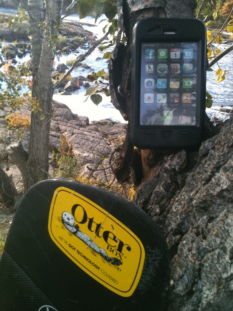
Expect a forested setting with bedrock and mossy banks, variable water flow (high in spring melt, lower in late summer/early fall), and limited infrastructure. There may be little to no signage, primitive or no trails, and natural viewpoints rather than developed overlooks. Wildlife typical of northern Ontario (moose, deer, black bear, beaver, songbirds) may be present. Cell phone service may be unreliable.
Accessibility
The trail is not wheelchair accessible. Uneven terrain and elevation changes require steady footing.
Frequently Asked Questions
🐶 Are Dogs Allowed at Spruce Falls?
❌ Dogs are not allowed
Are There Any Fees or Permits Required?
🆖 No fees required
🏊 Is There Swimming at Spruce Falls?
❌ Swimming is not allowed
When to Visit
Late spring (during/after snowmelt) for highest flows and dramatic water; early summer for warm weather access; fall for foliage colors and lower crowds. Winter can offer ice and frozen falls scenery but is more hazardous and requires winter skills and gear.
Seasonal Access
The best time to visit is Spring, Summer, Fall, and Winter. Check with the managing park or local authority for current conditions.
Safety Information
Warnings and hazards: slippery wet and icy rocks near the falls; strong currents and cold water that can cause hypothermia; unstable or undercut banks; limited or no cell coverage; possible encounter with wildlife. No lifeguards or formal rescue services on-site. In winter, ice may be unsafe and trails may be covered in deep snow. Visitors should wear appropriate footwear, stay a safe distance from edges, avoid swimming unless conditions and local guidance explicitly permit, and carry means to call for help if needed.
Current Water Conditions
31.7 m³/s
Current discharge — how much water is flowing
About average for this time of year
Based on 93 years of record
4.65 m
Water depth at gauge
7-Day Discharge Trend
What does this mean for your visit?
Flow is about average for this time of year.
About This Gauge
7-Day Flow Outlook
Based on the WSC gauge KAPUSKASING RIVER AT KAPUSKASING (4 km away).
Today
Moderate
32 m³/s
6/10Tomorrow
Moderate
33 m³/s
5/10Tue
Moderate
35 m³/s
5/10Wed
Moderate
33 m³/s
5/10Thu
Moderate
34 m³/s
4/10Fri
Moderate
32 m³/s
5/10Sat
Moderate
28 m³/s
6/10Best window: Today — moderate flow, cloudy (trip score 6/10).
Best time of year: this gauge typically runs highest from mid April to mid July, peaking in May.
How we calculate this
This is a transparent outlook, not a precise forecast. We take the waterfall's current flow strength (how it ranks against its historical normal for today, from the nearest WSC stream gauge), carry that ranking forward along the gauge's seasonal curve, and nudge it for forecast rain. Confidence is highest for the next day or two and falls further out. Always check official conditions and your own judgment before visiting — high flows can be dangerous.
Know when to go.
Get a free email alert when waterfalls near Kapuskasing hit peak flow. We only send when conditions are worth the trip — no weekly newsletters, no spam.
Weather Forecast
Location & Access
Getting There
The falls are located roughly 2.0 miles from the town of Kapuskasing at coordinates 49.4471, -82.4466. Access is typically by local paved or gravel roads from Kapuskasing; final access may involve a short drive on a minor road or a roadside pullout. Visitors should use a detailed map or GPS coordinates, confirm access locally in Kapuskasing, and be prepared for limited signage.
Get Directions on Google MapsParking
Parking is likely informal (roadside pullout or small unmarked clearing). There may be no formal parking lot, vault toilets or other developed facilities. Park legally and avoid blocking private driveways or gates.
Elevation
200 metres above sea level
Coordinates
49.447073° N, -82.446566° W
Visitor Tips & Gear
• Check local information in Kapuskasing (visitor centre or municipal offices) for up-to-date access details and any temporary closures. • Wear sturdy, waterproof footwear with good traction, rocks and roots are slippery, especially when wet or iced. • Stay back from the edge of the river and any undercut banks; river currents and wet rocks are hazardous. • Bring insect repellent during warm months and layers; northern Ontario weather can change quickly. • Pack out all trash and follow Leave No Trace principles. There are likely no trash or restroom facilities. • Tell someone your plans and estimated return time; remote areas can have limited cell service. • Be cautious in winter, ice near falls can be unstable and snow/ice can make routes difficult.
As an Amazon Associate, we earn from qualifying purchases.
With 5.8 km and 194 m of elevation gain, sturdy boots and trekking poles will help on this moderate trail. Icy conditions are common in winter — traction cleats are a smart addition.

Columbia Watertight II Rain Jacket
Packs into its own pocket, seam-sealed, and keeps you dry from spray and surprise rain.

Polarized Sunglasses (Knockaround)
Cuts glare off the water so you actually see the falls — and your photos turn out better too.

Earth Pak Waterproof Dry Bag
Keeps your phone and gear dry when waterfall mist soaks everything else.

Waterproof Phone Pouch (AiRunTech)
Cheap insurance — take photos right next to the falls without killing your phone.

Timberland Euro Sprint Mid Waterproof
Trusted waterproof boot with premium leather and grippy rubber sole — reliable on rocky, wet trails.

TrailBuddy Trekking Poles
Lightweight aluminum, cork grips, and flip-locks that actually hold — a best-seller for good reason.
Where to Stay
Browse vacation cabins and private rentals nearby
Unique outdoor stays — tents, yurts, and treehouses
Rent a campervan or RV for your waterfall road trip
Some links are affiliate links. We may earn a commission at no extra cost to you.
Nearby Campground
Rene Brunelle Park - Owl's Nest Campground
22.3 km away
Additional Information
Nearby Attractions
Town of Kapuskasing (local services), the Kapuskasing River corridor and local forestry access roads/trails. For specific nearby parks or attractions, check Kapuskasing municipal or regional tourism resources.
Wildlife
Typical northern Ontario wildlife may be present: moose, white-tailed deer, black bear, beaver, otter, small mammals, and a variety of forest birds. Exercise normal wildlife awareness and store food securely.
Cities near Spruce Falls
Nearby Waterfalls
Writing about Spruce Falls? Embed this waterfall on your site for free.