Photo Credits (5)
About Rapids
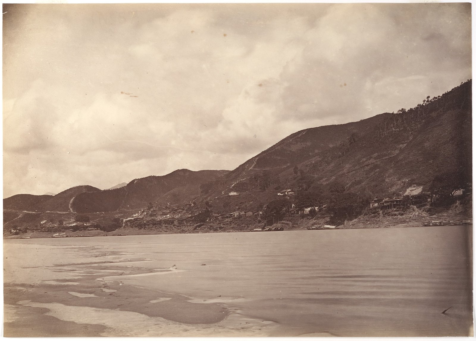
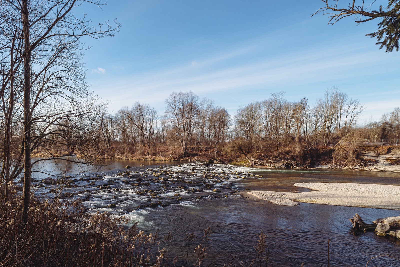
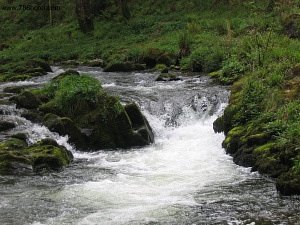
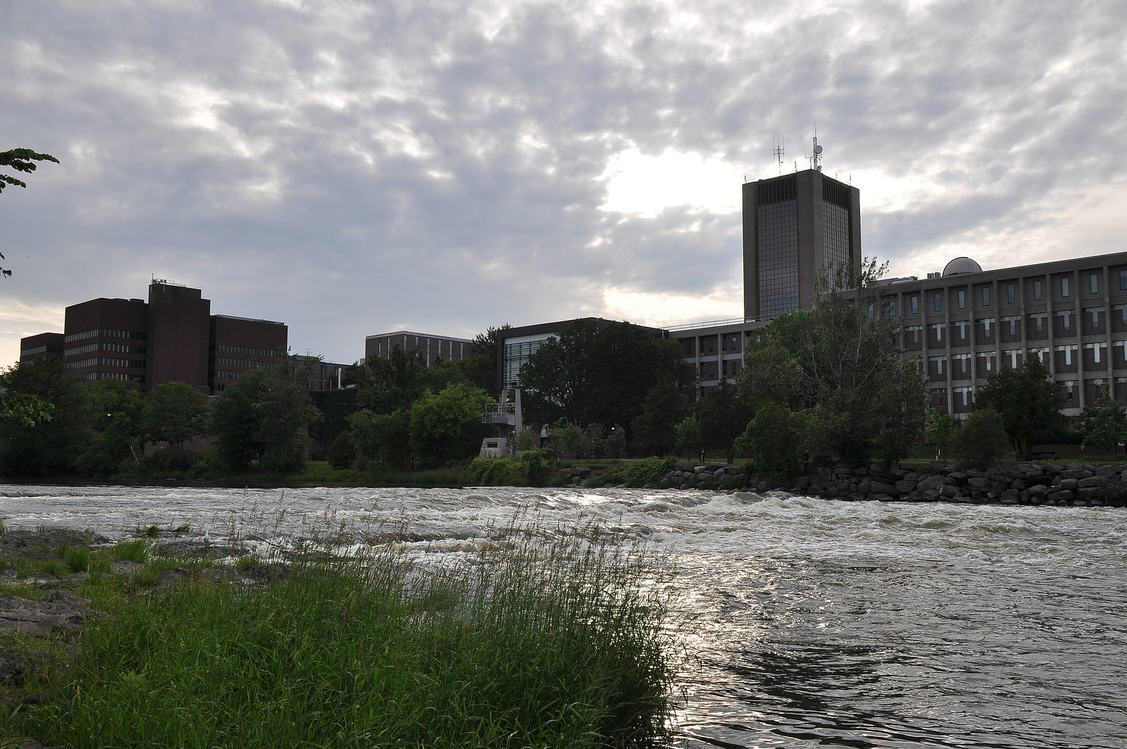
A set of river rapids in a remote portion of northern Quebec near the supplied coordinates (50.1518, -78.9113). The site is characteristic of boreal-river scenery: rocky channels, exposed bedrock, and mixed coniferous/deciduous shoreline. Flow and appearance are highly seasonal, highest flows are typically in spring during snowmelt, with lower, clearer water in late summer and fall. Exact name, vertical drop, and formal signage for these rapids are not confirmed and may be absent.
The Setting
Rapids sits at 216 metres within Rivière-Harricana-Nord Territorial reserve for protected area purposes, in the foothills of Quebec.
Why This Waterfall Exists
Rapids flows over hard volcanic rock laid down over 2.5-2.8 billion years ago. These resistant rocks form a durable ledge that water cannot easily wear away, creating the falls where softer material downstream has already eroded.
Trail & Hike Details
Trail Description
No confirmed maintained trail information is available for the exact coordinates. Visitors should expect rough, unmarked routes if hiking from a road: uneven terrain, roots, rocks, and potential wet sections near the river. Alternatively the rapids may be most practically accessed by boat (canoe/kayak) along the river; paddlers should be prepared for swift water and potential portages around hazardous drops or turbulent sections.
What to Expect
Boreal forest surroundings (spruce, fir, birch), rocky riverbanks and exposed bedrock, variable water levels depending on season. In spring expect high, fast flows and possible downstream flooding; summer and fall often offer calmer stretches and good viewpoints. Facilities are likely non-existent: no toilets, no trash service, and no maintained viewpoints or railings. Cell coverage may be limited or unavailable.
Accessibility
Accessibility is likely limited. Expect uneven, rocky terrain and no developed access features. The site is probably not wheelchair accessible. Water access via canoe/kayak may be possible but requires appropriate skills.
Frequently Asked Questions
🐶 Are Dogs Allowed at Rapids?
❌ Dogs are not allowed
Are There Any Fees or Permits Required?
🆖 No fees required
🏊 Is There Swimming at Rapids?
❌ Swimming is not allowed
When to Visit
Spring (April–May) for highest flows and dramatic rapids; summer (June–September) for easier access, paddling, and camping; fall (September–October) for foliage and lower flows; winter visits may show scenic frozen features but are hazardous due to ice and extreme cold. For safety and best river viewing, late spring and early summer are often preferred, but conditions vary year to year.
Seasonal Access
The best time to visit is Spring, Summer, Fall, and Winter. Check with the managing park or local authority for current conditions.
Safety Information
Primary hazards: swift currents and hydraulics at and below rapids; slippery wet rocks; unstable or undercut banks; sudden changes in water level from upstream releases or heavy rain; remoteness and limited or no cell coverage; severe insects in summer; potential encounters with large wildlife. Always wear a PFD when on the water, scout rapids from shore before attempting to run them, avoid alcohol near water, and carry emergency communication. Check ice conditions thoroughly in winter and avoid river ice that may be unstable. For up-to-date hazard or access information, contact local regional authorities.
Weather Forecast
Location & Access
Getting There
These rapids appear to be in a remote, forested area of northern Quebec. Access may require travel on secondary/forestry roads, long canoe/kayak approach, or hiking from the nearest maintained road. A high-clearance, 4x4 vehicle or boat may be needed depending on road conditions; some approaches may be water-only. There may be no marked trail to the exact location. Verify local access with regional municipal or provincial forestry offices before travelling.
Get Directions on Google MapsParking
There is likely no formal parking lot. Parking may be roadside pullouts on gravel/forestry roads, or at a put-in/take-out for paddlers. Expect minimal or no facilities, and no official signage.
Elevation
216 metres above sea level
Coordinates
50.151821° N, -78.911321° W
Land Management
Managed by Ministère de l'Environnement, de la Lutte contre les changements climatiques, de la Faune et des Parcs, Direction des aires protégées
Visitor Tips & Gear
• Check local forestry/municipal/park resources or recent trip reports for current road and river conditions before you go. • Use a high-clearance vehicle for forest roads, or plan a paddle approach. • Tell someone your route and expected return time, area is remote and may have no cell service. • Wear sturdy footwear for wet, slippery rocks and uneven terrain. • Bring insect repellent in spring and summer; black flies and mosquitoes can be severe. • Carry bear spray and know how to use it; store food properly. • Avoid standing on wet rocks near the water edge; currents can be deceptively strong. • Pack out all trash and follow Leave No Trace principles.
Where to Stay
Browse vacation cabins and private rentals nearby
Unique outdoor stays — tents, yurts, and treehouses
Rent a campervan or RV for your waterfall road trip
Some links are affiliate links. We may earn a commission at no extra cost to you.
Additional Information
Nearby Attractions
This is a remote part of northern Quebec; nearby attractions, if any, are likely other river stretches, lake paddling routes, fishing opportunities, and backcountry hunting/fishing areas. Nearest towns and formal services may be many tens to hundreds of kilometers away, plan logistics accordingly. Contact regional tourism or municipal offices for specific nearby parks or points of interest.
Wildlife
Typical boreal species may include moose, black bear, beaver, lynx, wolves, and numerous bird species (loons, waterfowl, raptors). Insects (mosquitoes, black flies) can be abundant in warm months.
Writing about Rapids? Embed this waterfall on your site for free.