Photo Credits (5)
Difficulty
Moderate
Trail Length
2.1 km
Trail Type
Out And Back
Elevation Gain
87 m
About Provoking Falls
Provoking Falls is a freshwater waterfall feature located near coordinates 45.5676, -78.5126 in central Ontario. The falls appear to be on a small river or creek passing through mixed hardwood-conifer forest and are likely to form cascades and a scenic plunge during higher flows. Infrastructure at the site appears minimal or undeveloped; visitors should expect a natural setting rather than a developed park area. Specific measured height information for Provoking Falls is not confirmed.
The Setting
Provoking Falls sits at 405 metres within Algonquin Provincial Park, in the foothills of Ontario. The falls drop 1 metres.
Why This Waterfall Exists
Provoking Falls flows over hard crystalline rock, primarily gneiss, laid down over 1.0-2.5 billion years ago. These resistant rocks form a durable ledge that water cannot easily wear away, creating a 3-foot drop where softer material downstream has already eroded.
Trail & Hike Details
The Approach
The moderate 2.1-km out-and-back trail gains 87 metres of elevation on the way to the falls.
Trail Description
Trail access to the falls is likely via a short walking approach through uneven, natural forest terrain. The route may be unblazed or minimally maintained and could include roots, rocks, muddy sections, and modest scrambling near the water. There may not be formal viewing platforms or safety railings, so expect a rustic, backcountry-style approach.
What to Expect
The falls drop a gentle 1 metres over hard crystalline rock.
Accessibility
The trail is not wheelchair accessible. Uneven terrain and elevation changes require steady footing.
Frequently Asked Questions
🐶 Are Dogs Allowed at Provoking Falls?
❌ Dogs are not allowed
Are There Any Fees or Permits Required?
🆖 No fees required
🏊 Is There Swimming at Provoking Falls?
❌ Swimming is not allowed
When to Visit
Spring for strongest water flow and dramatic photos; early fall for fall foliage and cooler temperatures; summer for easier road conditions but lower flows; winter can offer ice and frozen cascades but is more hazardous (icefall, cold, limited access).
Seasonal Access
The best time to visit is Spring, Summer, Fall, and Winter. Check with Algonquin Provincial Park for current conditions.
Safety Information
• Slippery and unstable rocks near the water, do not climb on wet rock faces. • Sudden changes in water flow can occur after heavy rain, avoid standing at the base of the falls during storms. • Hypothermia risk from cold water even on warm days. • No guaranteed cell coverage, carry a map and tell someone your plans. • Wildlife encounters possible; know how to respond to bears and other large animals. • Trail or road conditions can change due to seasonal logging, washouts, or snow, check recent reports before visiting.
7-Day Flow Outlook
Based on the WSC gauge OXTONGUE RIVER NEAR DWIGHT (47 km away).
Best time of year: this gauge typically runs highest from late March to late May, peaking in April.
How we calculate this
This is a transparent outlook, not a precise forecast. We take the waterfall's current flow strength (how it ranks against its historical normal for today, from the nearest WSC stream gauge), carry that ranking forward along the gauge's seasonal curve, and nudge it for forecast rain. Confidence is highest for the next day or two and falls further out. Always check official conditions and your own judgment before visiting — high flows can be dangerous.
Weather Forecast
Location & Access
Getting There
The falls are located at approximately 45.5676, -78.5126. Access is typically by vehicle on provincial or county roads with the final approach possibly on secondary or gravel forest roads. GPS coordinates are recommended for navigation. Expect the last stretch to the trailhead to be unpaved in places; check recent trip reports or local resources for current road conditions.
Get Directions on Google MapsParking
Parking is likely limited to a small roadside pullout or an informal parking area. There may not be a formal lot, signage, or amenities. Park considerately and avoid blocking the road.
Elevation
405 metres above sea level
Coordinates
45.567576° N, -78.512609° W
Land Management
Managed by Ontario Parks
Visitor Tips & Gear
• Use sturdy, waterproof footwear with good traction; wet rocks are slippery. • Bring insect repellent and check for ticks after visiting. • Carry water and pack out all trash, Leave No Trace. • Do not assume there are lifeguards or safe swimming spots, currents and cold water present risks. • Respect private property boundaries; if access crosses private land, obtain permission. • Check local forestry, municipal, or park resources for recent access updates or road closures.
As an Amazon Associate, we earn from qualifying purchases.
With 2.1 km and 87 m of elevation gain, sturdy boots and trekking poles will help on this moderate trail. Icy conditions are common in winter — traction cleats are a smart addition.

Columbia Watertight II Rain Jacket
Packs into its own pocket, seam-sealed, and keeps you dry from spray and surprise rain.

Polarized Sunglasses (Knockaround)
Cuts glare off the water so you actually see the falls — and your photos turn out better too.

Earth Pak Waterproof Dry Bag
Keeps your phone and gear dry when waterfall mist soaks everything else.

Waterproof Phone Pouch (AiRunTech)
Cheap insurance — take photos right next to the falls without killing your phone.

Timberland Euro Sprint Mid Waterproof
Trusted waterproof boot with premium leather and grippy rubber sole — reliable on rocky, wet trails.

TrailBuddy Trekking Poles
Lightweight aluminum, cork grips, and flip-locks that actually hold — a best-seller for good reason.
Where to Stay
Browse vacation cabins and private rentals nearby
Unique outdoor stays — tents, yurts, and treehouses
Rent a campervan or RV for your waterfall road trip
Some links are affiliate links. We may earn a commission at no extra cost to you.
Nearby Campground
Mew Lake Campground
1 km away
Additional Information
Nearby Attractions
The falls are in a rural/forest region of central Ontario; nearby towns, provincial parks, or conservation areas may be within driving distance. Regional attractions (for example, provincial parks, hiking areas, waterways) may be available, check local tourism or park websites for specifics and distances.
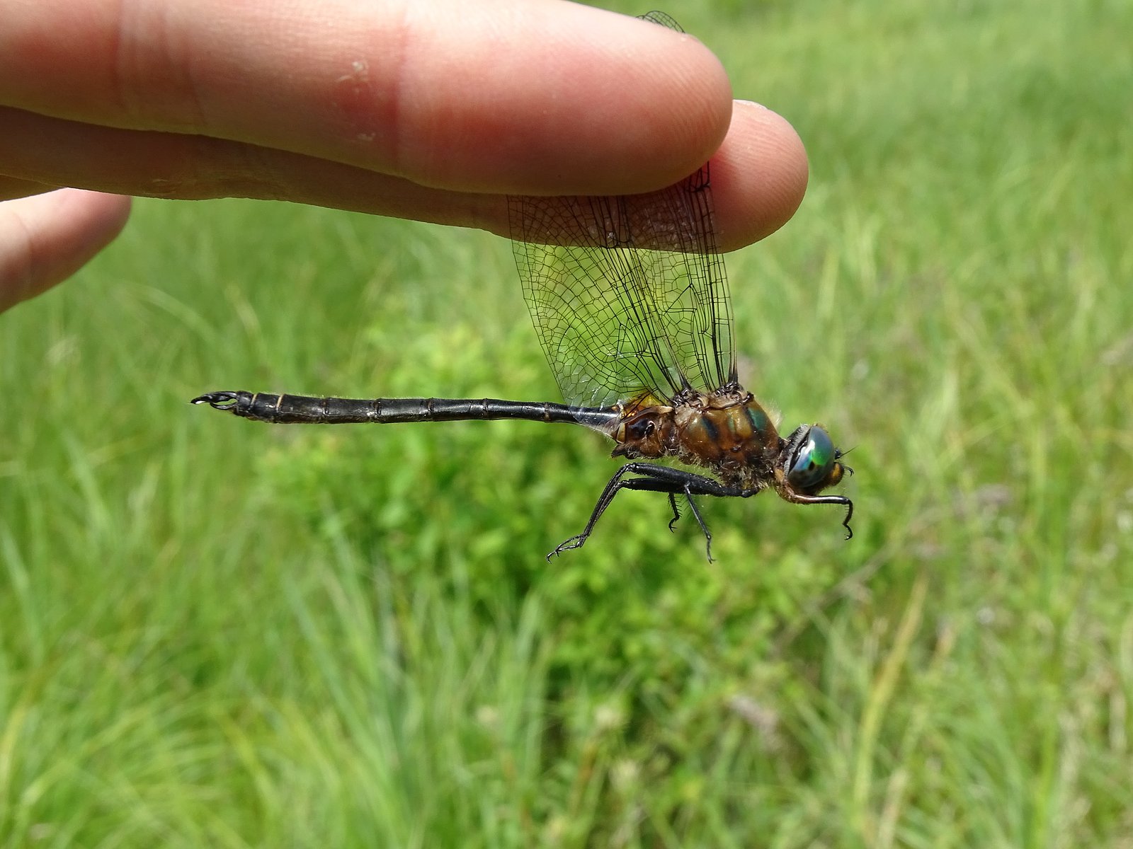
Wildlife
Typical central Ontario wildlife may be present, including white-tailed deer, black bear, beaver, otter, various waterfowl, and numerous songbirds. Take standard precautions for bears and other wildlife: store food securely and maintain distance.
Writing about Provoking Falls? Embed this waterfall on your site for free.