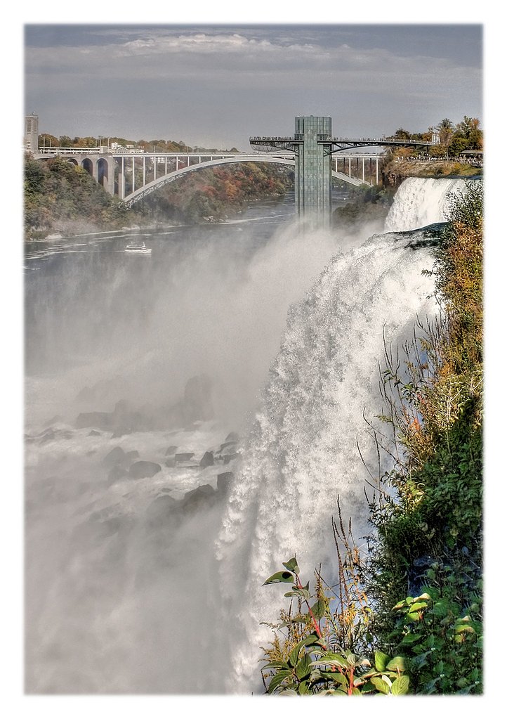
About Pelican Falls
Pelican Falls is a remote, forested waterfall site in northwestern Ontario located roughly northeast of Dryden (user-supplied distance ~51 miles). The falls sit near coordinates 50.1228, -92.0194 and are typical of small- to medium-scale cascades found on rivers and creeks in the region. Visitor descriptions indicate a natural, undeveloped setting with limited facilities. Exact height and formal measurements are not confirmed.
Why This Waterfall Exists
Pelican Falls flows over volcanic rock laid down over 2.5-2.8 billion years ago. These resistant rocks form a durable ledge that water cannot easily wear away, creating the falls where softer material downstream has already eroded.
Trail & Hike Details
Trail Description
Trail conditions at Pelican Falls are variable and often informal. Routes may follow old logging roads, riverbanks, or short unmarked footpaths. Expect uneven, rocky, and potentially muddy or rooty footing with occasional short steep sections near the stream or cliff edges. Trails are likely unmaintained and may be poorly signed. No official boardwalks or railings are expected.
What to Expect
A natural, undeveloped waterfall setting with forested surroundings. Water flow will vary seasonally, higher in spring during snowmelt and after heavy rains, lower in late summer and early fall. Expect insects (black flies and mosquitoes) in warmer months, and potentially deep or fast water near the falls. Minimal visitor amenities; limited or no cell coverage. Wildlife common to northwestern Ontario (moose, black bear, birds) may be present.
Accessibility
The site is likely not wheelchair accessible. Trails are expected to be unmaintained, with uneven, rocky, and potentially steep terrain near the falls.
Frequently Asked Questions
🐶 Are Dogs Allowed at Pelican Falls?
❌ Dogs are not allowed
Are There Any Fees or Permits Required?
🆖 No fees required
🏊 Is There Swimming at Pelican Falls?
❌ Swimming is not allowed
When to Visit
Late spring (snowmelt) for strongest flows and summer/early fall for easier access and more stable weather. Fall also offers good foliage viewing. Winter conditions may provide ice features but access can be difficult and dangerous due to snow/ice.
Seasonal Access
The best time to visit is Spring, Summer, and Fall. Winter access may be limited. Check with the managing park or local authority for current conditions.
Safety Information
Hazards include slippery rocks and ledges, fast or cold water, changing river flows, loose or unstable banks, limited or no cell service, and wildlife encounters (including bears). Seasonal road conditions and poor weather can make access difficult. Use caution near cliff edges and on wet rock surfaces; never attempt technical climbs without proper equipment and experience. Check local authorities for any warnings before visiting.
Current Water Conditions
Based on a Water Survey of Canada gauge 34.5 km away
34.0 m³/s
Current discharge — how much water is flowing
Lower than usual for this time of year
Based on 63 years of record
29.00 m
Water depth at gauge
7-Day Discharge Trend
What does this mean for your visit?
Flow is lower than usual for this time of year.
About This Gauge
This gauge is on a regional waterway. Conditions at the falls may differ, especially after local rain.
7-Day Flow Outlook
Based on the WSC gauge STURGEON RIVER AT MCDOUGALL MILLS (34 km away).
Today
Moderate
37 m³/s
5/10Tomorrow
Low
35 m³/s
5/10Wed
Low
33 m³/s
5/10Thu
Moderate
36 m³/s
5/10Fri
Moderate
37 m³/s
5/10Sat
Moderate
36 m³/s
5/10Sun
Low
32 m³/s
5/10Best window: Today — moderate flow, heavy rain showers (trip score 5/10).
Best time of year: this gauge typically runs highest from early May to late July, peaking in May.
How we calculate this
This is a transparent outlook, not a precise forecast. We take the waterfall's current flow strength (how it ranks against its historical normal for today, from the nearest WSC stream gauge), carry that ranking forward along the gauge's seasonal curve, and nudge it for forecast rain. Confidence is highest for the next day or two and falls further out. Always check official conditions and your own judgment before visiting — high flows can be dangerous.
Know when to go.
Get a free email alert when waterfalls near Dryden hit peak flow. We only send when conditions are worth the trip — no weekly newsletters, no spam.
Weather Forecast
Location & Access
Getting There
The falls are reached by driving on regional and secondary roads off Highway corridors near Dryden, then following smaller paved or unpaved access roads or logging roads. Some sections of the final approach may be rough and require a high-clearance vehicle. Cell service may be intermittent; obtain local directions before heading out.
Get Directions on Google MapsParking
There may be an informal pullout or small parking area near the trailhead or access point. Expect minimal or no formal parking infrastructure (no maintained lot, toilet, or signage in many cases).
Elevation
364 metres above sea level
Coordinates
50.122841° N, -92.019379° W
Visitor Tips & Gear
• Check local resources (Dryden visitor centre, municipal websites, or local trail reports) for up-to-date access information and road conditions before you go. • Use a high-clearance vehicle if accessing via logging roads and carry a spare tire and emergency kit. • Wear sturdy, waterproof footwear with good traction; rocks near the falls can be very slippery. • Bring insect repellent in spring and summer. • Leave no trace: pack out trash and avoid disturbing vegetation or wildlife. • Tell someone your plans and expected return time; cell service may be unreliable.
Where to Stay
Browse vacation cabins and private rentals nearby
Unique outdoor stays — tents, yurts, and treehouses
Rent a campervan or RV for your waterfall road trip
Some links are affiliate links. We may earn a commission at no extra cost to you.
Nearby Campground
Ojibway Park Campground
16.2 km away
Additional Information
Nearby Attractions
The town of Dryden provides services and local information. The broader region includes numerous lakes, rivers, and backcountry recreation opportunities; provincial parks and conservation areas may be within driving distance. Specific nearby attractions should be confirmed with local visitor resources.
Wildlife
Typical northwestern Ontario wildlife may include moose, white-tailed deer, black bears, beavers, otters, and a variety of waterfowl and songbirds. Insect activity (black flies, mosquitoes) can be intense in spring and early summer.
Cities near Pelican Falls
Nearby Waterfalls
Writing about Pelican Falls? Embed this waterfall on your site for free.