Photo Credits (2)
Difficulty
Moderate
Trail Length
0.8 km
Trail Type
Loop
Elevation Gain
30 m
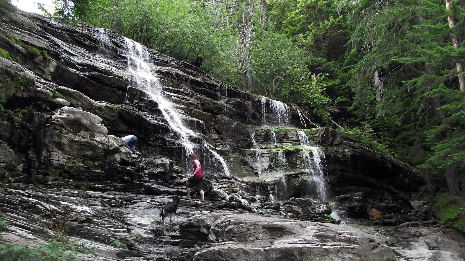
About Moses Falls
Moses Falls is a small, forested waterfall located a few miles north of Revelstoke, British Columbia (coordinates ~51.0433, -118.2177). It appears to be on a tributary in the Revelstoke area and is best visited in spring and early summer when snowmelt increases flow. Precise published information is limited; access may require travel on local forest or logging roads and a short walk or informal/unmarked trail. Visitors should be prepared for unmaintained trail conditions and limited signage.
Why This Waterfall Exists
Moses Falls flows over layered sedimentary rock laid down about 252 million to 1.0 billion years ago. Over time, the stream has worn through these layers at different rates, creating the step that forms the waterfall.
Trail & Hike Details
The Approach
The moderate 0.8-km loop trail gains 30 metres of elevation on the way to the falls.
Trail Description
There is limited authoritative trail information available for Moses Falls. Reports suggest access may be via a short walk from a nearby road or via an unmarked/unmaintained spur trail. Expect uneven, possibly steep or brushy terrain near the stream. Because published route descriptions are scarce, navigation may require map/GPS and basic backcountry route-finding skills.
What to Expect
A small to medium waterfall set in mature temperate forest typical of the Revelstoke area. Seasonal flow varies, highest in spring with snowmelt and lower in late summer. The immediate area may have steep banks, slippery rocks, and wet ground. Limited or no facilities (no toilets, no maintained viewpoints). Cell coverage may be intermittent.
Accessibility
The trail is not wheelchair accessible. Uneven terrain and elevation changes require steady footing.
Frequently Asked Questions
🐶 Are Dogs Allowed at Moses Falls?
❌ Dogs are not allowed
Are There Any Fees or Permits Required?
🆖 No fees required
🏊 Is There Swimming at Moses Falls?
❌ Swimming is not allowed
When to Visit
Spring (late snowmelt) for highest flow and more dramatic waterfalls; summer for easier access and warmer weather; fall for foliage. Winter access may be difficult or hazardous due to snow, ice, and avalanche risk.
Seasonal Access
The best time to visit is Spring, Summer, and Fall. Winter access may be limited. Check with the managing park or local authority for current conditions.
Safety Information
Hazards may include steep and slippery banks, unstable footing, cold and fast water, hidden drop-offs, falling trees or branches, and limited cell phone coverage. In winter, expect avalanche risk on nearby slopes and icy conditions. Stay back from the edge, avoid wet rocks, and do not attempt to climb around the falls. Always tell someone your plans and expected return time.
Current Water Conditions
132.0 m³/s
Current discharge — how much water is flowing
About average for this time of year
Based on 62 years of record
2.06 m
Water depth at gauge
7-Day Discharge Trend
What does this mean for your visit?
Flow is about average for this time of year.
About This Gauge
This gauge is on a nearby waterway and may not reflect exact conditions at the falls.
7-Day Flow Outlook
Based on the WSC gauge ILLECILLEWAET RIVER AT GREELEY (10 km away).
Today
Moderate
132 m³/s
8/10Tomorrow
Moderate
133 m³/s
8/10Tue
Moderate
133 m³/s
8/10Wed
Moderate
130 m³/s
8/10Thu
Moderate
138 m³/s
6/10Fri
Moderate
143 m³/s
6/10Sat
Moderate
128 m³/s
8/10Best window: Today — moderate flow, cloudy (trip score 8/10).
Best time of year: this gauge typically runs highest from mid May to early August, peaking in June.
How we calculate this
This is a transparent outlook, not a precise forecast. We take the waterfall's current flow strength (how it ranks against its historical normal for today, from the nearest WSC stream gauge), carry that ranking forward along the gauge's seasonal curve, and nudge it for forecast rain. Confidence is highest for the next day or two and falls further out. Always check official conditions and your own judgment before visiting — high flows can be dangerous.
Know when to go.
Get a free email alert when waterfalls near Revelstoke hit peak flow. We only send when conditions are worth the trip — no weekly newsletters, no spam.
Weather Forecast
Location & Access
Getting There
The falls are located roughly 3.6 miles (about 5.8 km) from downtown Revelstoke (coordinates 51.0433, -118.2177). Access is likely via local roads/forest service roads or trailheads north of Revelstoke; exact route and parking are not well documented in major trail guides. Use a detailed map or GPS and check local sources (Revelstoke visitor centre, BC Parks, or recent trip reports) before attempting access.
Get Directions on Google MapsParking
Parking information is not well documented. Expect unmarked pullouts or informal parking at the trail/road access point; nearby official parking may be limited. Do not block gates or access roads.
Elevation
492 metres above sea level
Coordinates
51.043260° N, -118.217705° W
Visitor Tips & Gear
1) Check recent trip reports or contact the Revelstoke visitor centre for up-to-date access information. 2) Wear sturdy footwear with good traction; expect muddy or slippery approaches. 3) Treat the area as backcountry: bring navigation (map/GPS), water, and layers. 4) Be bear-aware: carry bear spray and make noise. 5) Do not approach edges or climb on wet rocks near the lip, falls and plunge pools can be hazardous. 6) Respect private property and any posted signs; do not block gates.
As an Amazon Associate, we earn from qualifying purchases.
With 0.8 km and 30 m of elevation gain, sturdy boots and trekking poles will help on this moderate trail. Sun exposure on the trail makes good sun protection a must in summer.

Polarized Sunglasses (Knockaround)
Cuts glare off the water so you actually see the falls — and your photos turn out better too.

Columbia Watertight II Rain Jacket
Packs into its own pocket, seam-sealed, and keeps you dry from spray and surprise rain.

Earth Pak Waterproof Dry Bag
Keeps your phone and gear dry when waterfall mist soaks everything else.

Waterproof Phone Pouch (AiRunTech)
Cheap insurance — take photos right next to the falls without killing your phone.

Timberland Euro Sprint Mid Waterproof
Trusted waterproof boot with premium leather and grippy rubber sole — reliable on rocky, wet trails.

TrailBuddy Trekking Poles
Lightweight aluminum, cork grips, and flip-locks that actually hold — a best-seller for good reason.
Where to Stay
Browse vacation cabins and private rentals nearby
Unique outdoor stays — tents, yurts, and treehouses
Rent a campervan or RV for your waterfall road trip
Some links are affiliate links. We may earn a commission at no extra cost to you.
Nearby Campground
Free dispersed camping
0.8 km away
Additional Information
Nearby Attractions
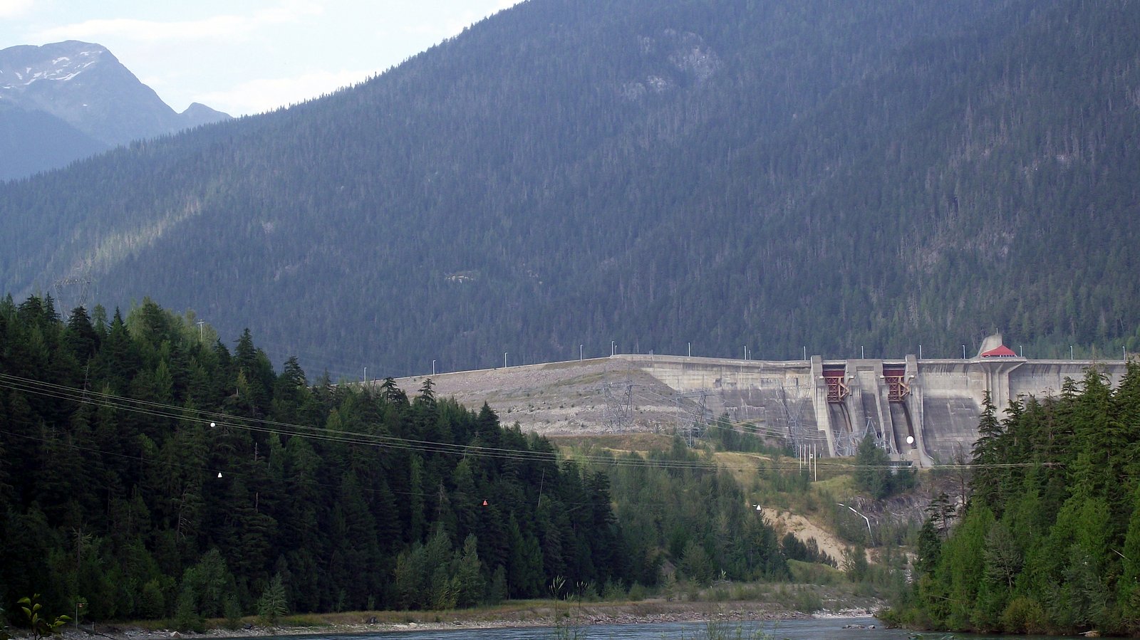
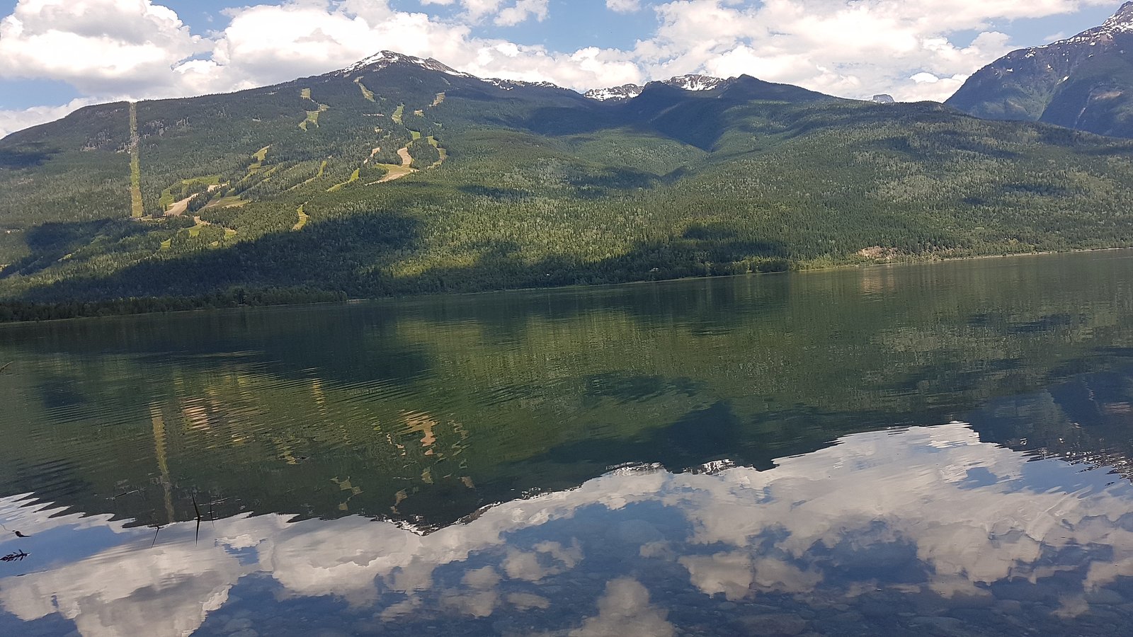
Mount Revelstoke National Park (hiking and viewpoints), Revelstoke Mountain Resort, Giant Cedars Trail, Revelstoke Railway Museum, nearby rivers and lakes for fishing and boating. The Revelstoke Dam and adjacent viewpoints are also in the region.
Wildlife
Typical interior-British Columbia wildlife: black bears (and possible grizzly in the broader region), cougars, deer, small mammals, and birds. Be bear-aware and follow wildlife safety best practices.
Cities near Moses Falls
Nearby Waterfalls
Writing about Moses Falls? Embed this waterfall on your site for free.