
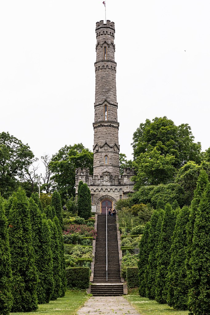
McNeilly West Falls
By Armen Suny · Last verified Jun 2026
Photo Credits (1)
Difficulty
Easy
Trail Type
Out And Back
About McNeilly West Falls
McNeilly West Falls is one of the many scenic cascades tucked into the Niagara Escarpment around the City of Hamilton, Ontario, a region famous for its concentration of waterfalls and rugged escarpment cliffs. The falls sit within the Winona land unit and are managed by the Hamilton Conservation Authority as part of a local conservation area, offering a quiet, forested setting that’s representative of the escarpment’s geology and wooded ravines. Many of Hamilton’s falls are on or near the Bruce Trail, and McNeilly West is an easy, accessible example for visitors exploring the escarpment’s cascade-lined valleys. This site is best for casual hikers and photographers who enjoy short outings into mixed deciduous forest. Expect a natural, low-impact experience: trails here are simple and intimate rather than developed, so bring good footwear for uneven ground and plan for limited visitor infrastructure. The conservation-area setting makes it a pleasant stop on a broader waterfall-spotting day in the Hamilton area.
The Setting
McNeilly West Falls sits at 173 metres within Winona, in the foothills of Ontario. The falls drop 6 metres.
Height: 20 feet
Nearby Falls Worth Visiting
McNeilly Falls (12 m) lies 0.3 kilometres to the east. Also nearby: Vinemount East Falls (10 m, 0.5 km) and Lewis Road West Falls (9 m, 1.1 km).
Trail & Hike Details
Trail Description
Approach to McNeilly West Falls is likely a short out-and-back trail along escarpment terrain with natural surface (dirt, roots, rock). Trails in this area often include some uneven footing, short rock steps or informal stair sections, and may pass through mixed deciduous forest. Expect limited built infrastructure (few benches, handrails or viewing platforms). Trail may be narrow in places and could be muddy or steep in short sections after rain.
What to Expect
The falls drop a gentle 6 metres.
Accessibility
The trail is short and relatively flat, but the surface may be uneven. Contact the managing agency for accessibility details.
Frequently Asked Questions
🐶 Are Dogs Allowed at McNeilly West Falls?
❌ Dogs are not allowed
Are There Any Fees or Permits Required?
🆖 No fees required
🏊 Is There Swimming at McNeilly West Falls?
❌ Swimming is not allowed
When to Visit
Spring (high flow) for the best water volume; fall for foliage color. Summer offers pleasant conditions but lower flows. Winter can create ice formations but presents added hazards (ice, limited footing); only experienced winter hikers should attempt.
Seasonal Access
The best time to visit is Spring, Summer, Fall, and Winter. Check with Winona for current conditions.
Safety Information
Hazards may include steep or unstable cliff edges, slippery rocks and roots, fast-flowing or cold water, and seasonal ice. Stay on marked trails, keep a safe distance from edges, supervise children closely, and avoid cliff-top or in-stream routes. Check weather and recent trail reports before visiting. Emergency services in rural trail areas may be delayed, carry a charged phone and tell someone your plans.
Current Water Conditions
0.2 m³/s
Current discharge — how much water is flowing
About average for this time of year
Based on 40 years of record
11.27 m
Water depth at gauge
7-Day Discharge Trend
What does this mean for your visit?
Flow is about average for this time of year.
About This Gauge
This gauge is on a nearby waterway and may not reflect exact conditions at the falls.
7-Day Flow Outlook
Based on the WSC gauge REDHILL CREEK AT HAMILTON (9 km away).
Today
Moderate
0.2 m³/s
8/10Tomorrow
Moderate
0.2 m³/s
6/10Tue
Moderate
0.2 m³/s
6/10Wed
Moderate
0.2 m³/s
6/10Thu
Moderate
0.2 m³/s
8/10Fri
Moderate
0.2 m³/s
6/10Sat
Moderate
0.2 m³/s
6/10Best window: Today — moderate flow, mainly sunny (trip score 8/10).
Best time of year: this gauge typically runs highest from mid February to early May, peaking in April.
How we calculate this
This is a transparent outlook, not a precise forecast. We take the waterfall's current flow strength (how it ranks against its historical normal for today, from the nearest WSC stream gauge), carry that ranking forward along the gauge's seasonal curve, and nudge it for forecast rain. Confidence is highest for the next day or two and falls further out. Always check official conditions and your own judgment before visiting — high flows can be dangerous.
Know when to go.
Get a free email alert when waterfalls near Hamilton hit peak flow. We only send when conditions are worth the trip — no weekly newsletters, no spam.
Weather Forecast
Location & Access
Getting There
Coordinates: 43.2029, -79.6801. The falls lie on the Niagara Escarpment near Hamilton, approximately 10 miles from downtown Hamilton. Access is typically from local roads/parking near escarpment trailheads, use the coordinates or a trusted mapping app to locate the nearest public access point. Visitors should check maps from the Hamilton Conservation Authority or local land manager for exact access points and permitted routes.
Get Directions on Google MapsParking
Parking may be limited or informal (street parking or small trailhead lot). There may not be a formal parking lot with amenities. Park only in signed areas and avoid blocking driveways or gates. Check local conservation authority pages for official parking info.
Elevation
173 metres above sea level
Coordinates
43.202872° N, -79.680082° W
Land Management
Managed by Hamilton Conservation Authority
Visitor Tips & Gear
• Wear sturdy, closed-toe footwear with good traction. • Expect slippery rocks and muddy sections after rain; use caution near edges. • No guaranteed amenities; bring water and pack out trash. • Check local conservation authority or trail sites for up-to-date access info and parking rules. • Keep dogs leashed and under control if visiting; leash rules likely apply. • Avoid getting too close to cliff edges; do not climb barriers or fences.
Where to Stay
Browse vacation cabins and private rentals nearby
Unique outdoor stays — tents, yurts, and treehouses
Rent a campervan or RV for your waterfall road trip
Some links are affiliate links. We may earn a commission at no extra cost to you.
Nearby Campground
Cave Springs Camp
20.1 km away
Additional Information
Nearby Attractions
Hamilton area waterfalls (numerous cascades along the Niagara Escarpment), escarpment hiking trails and viewpoints. Specific nearby, well-known sites include other escarpment falls and conservation areas in the greater Hamilton/Niagara region, check local maps for exact distances.
Wildlife
Typical southern Ontario escarpment wildlife: songbirds, woodpeckers, small mammals (squirrels, raccoons), white-tailed deer, and seasonal insects (ticks, mosquitoes). Be aware of ticks in warmer months.
Cities near McNeilly West Falls
Nearby Waterfalls


Writing about McNeilly West Falls? Embed this waterfall on your site for free.