Photo Credits (5)
Difficulty
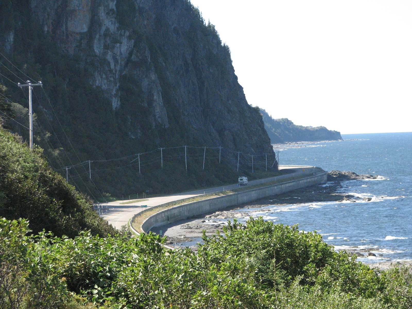
Drive Up
Trail Length
0.2 km
Trail Type
Out And Back
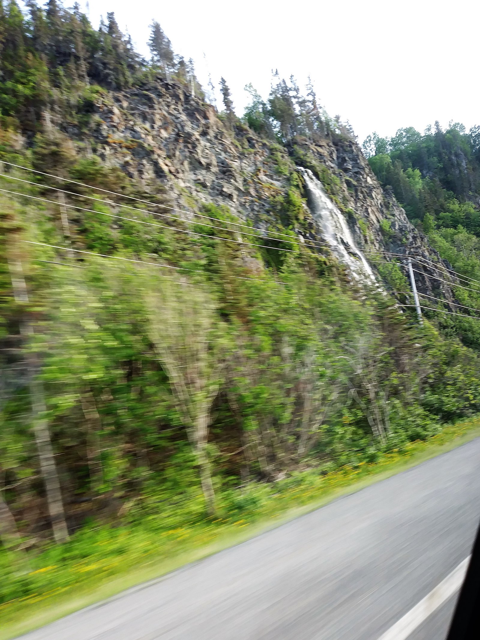
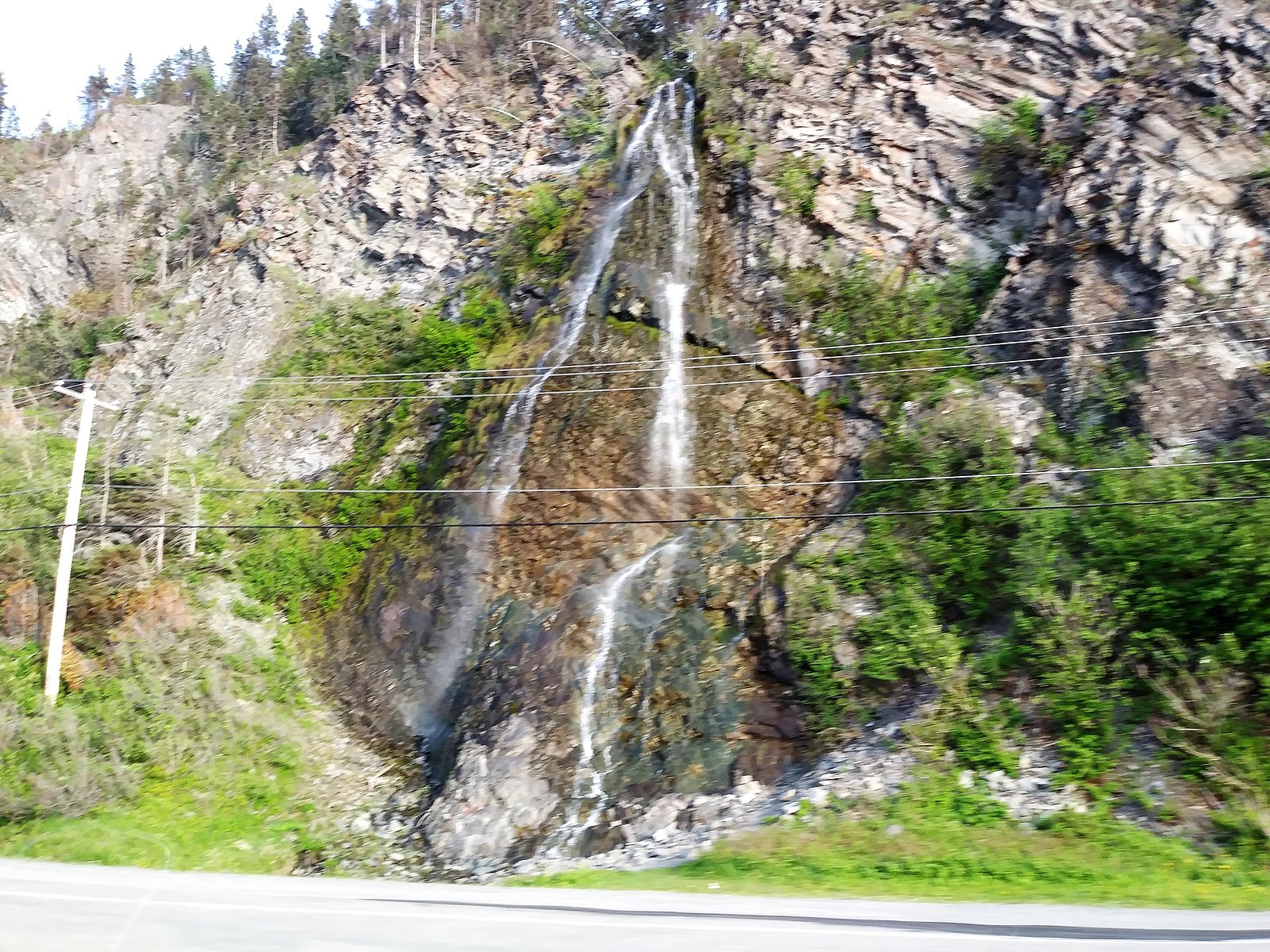
About Le Voile-de-la-Mariée
Le Voile-de-la-Mariée ("Bride's Veil") is a scenic waterfall in the Gaspésie region of Québec near Cap-Chat. It is known locally for a veil-like curtain of water cascading over a rock face. Flow and appearance vary seasonally, typically highest in spring melt and after heavy rain. Site information and trail details are not widely published; access may be via informal or lightly maintained forest/park trails or roadside pullouts.
Why This Waterfall Exists
Le Voile-de-la-Mariée flows over layered sedimentary rock laid down about 444-485 million years ago. Over time, the stream has worn through these layers at different rates, creating the step that forms the waterfall.
Trail & Hike Details
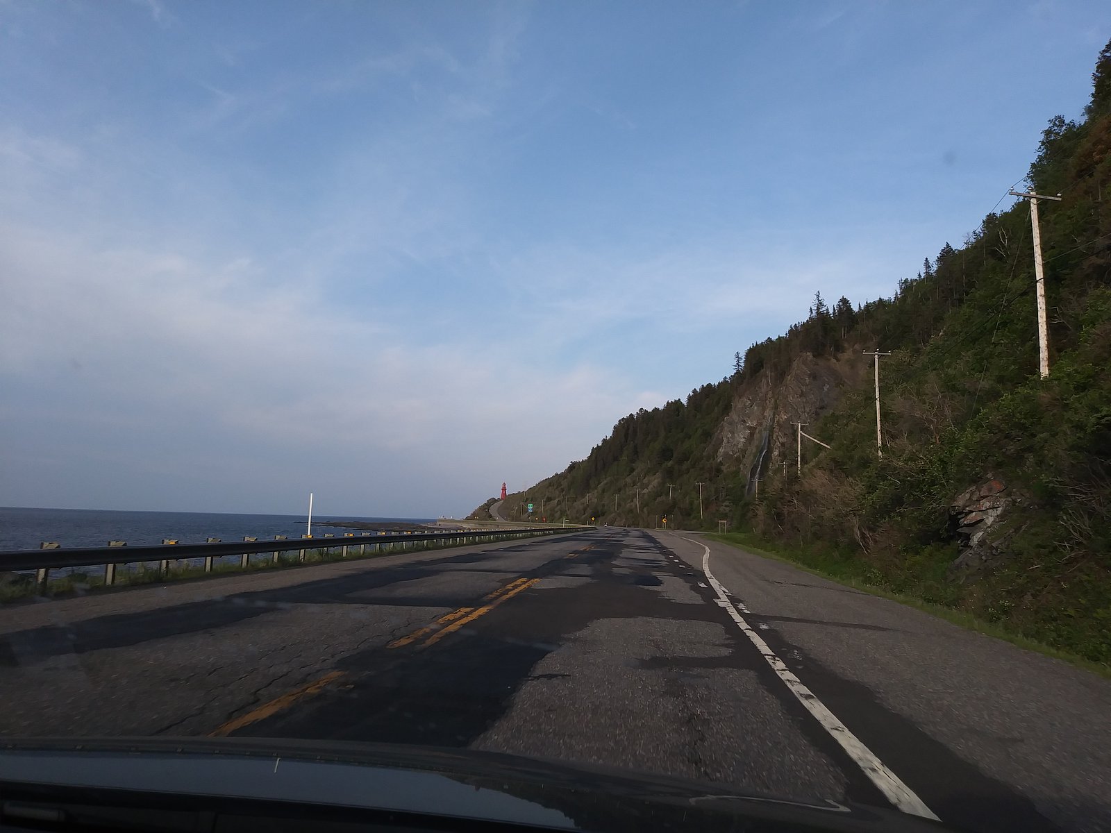
The Approach
No hiking required. Le Voile-de-la-Mariée is accessible by vehicle with a roadside viewing area.
Trail Description
Public, detailed trail descriptions are scarce. Expect a short walk from a roadside pullout or small parking area in many reports, but in some cases logging-road approaches and an unofficial footpath may be required. Trails, where present, are likely unpaved, possibly steep or slippery near the falls, and not formally maintained. Signage, guardrails, and developed viewpoints may be absent.
What to Expect
A natural, possibly secluded waterfall with limited visitor infrastructure. Spring and shortly after heavy rains produce the strongest flows; summer visits offer greenery and easier weather but lower flow. Rocks near the falls will be wet and slippery; there may be steep approaches and uneven terrain. Little to no amenities (no restrooms, no visitor center) are expected.
Accessibility
This waterfall is viewable from a vehicle-accessible area. No hiking is required.
Frequently Asked Questions
🐶 Are Dogs Allowed at Le Voile-de-la-Mariée?
❌ Dogs are not allowed
Are There Any Fees or Permits Required?
🆖 No fees required
🏊 Is There Swimming at Le Voile-de-la-Mariée?
❌ Swimming is not allowed
When to Visit
Spring (snowmelt/after rains) for strongest flows and dramatic appearance; summer for easiest access and nicer weather; fall for foliage color. Winter can offer frozen formations but access and safety conditions (ice, deep snow) may make visiting hazardous without proper equipment and experience.
Seasonal Access
The best time to visit is Spring, Summer, Fall, and Winter. Check with the managing park or local authority for current conditions.
Safety Information
Hazards can include slippery rocks, steep or unstable edges, fast water flows (especially in spring), sudden weather changes, and limited cell service. Do not climb on wet rock ledges or attempt to cross strong currents. Wear appropriate footwear, keep children and pets close, and inform someone of your plans. When uncertain about route or conditions, choose not to proceed.
7-Day Flow Outlook
Based on the WSC gauge SAINTE-ANNE (RIVIERE) A 9,7 KM EN AMONT DU PONT-ROUTE 132 (28 km away).
Best time of year: this gauge typically runs highest from mid April to late June, peaking in May.
How we calculate this
This is a transparent outlook, not a precise forecast. We take the waterfall's current flow strength (how it ranks against its historical normal for today, from the nearest WSC stream gauge), carry that ranking forward along the gauge's seasonal curve, and nudge it for forecast rain. Confidence is highest for the next day or two and falls further out. Always check official conditions and your own judgment before visiting — high flows can be dangerous.
Know when to go.
Get a free email alert when waterfalls near Cap-Chat hit peak flow. We only send when conditions are worth the trip — no weekly newsletters, no spam.
Weather Forecast
Location & Access
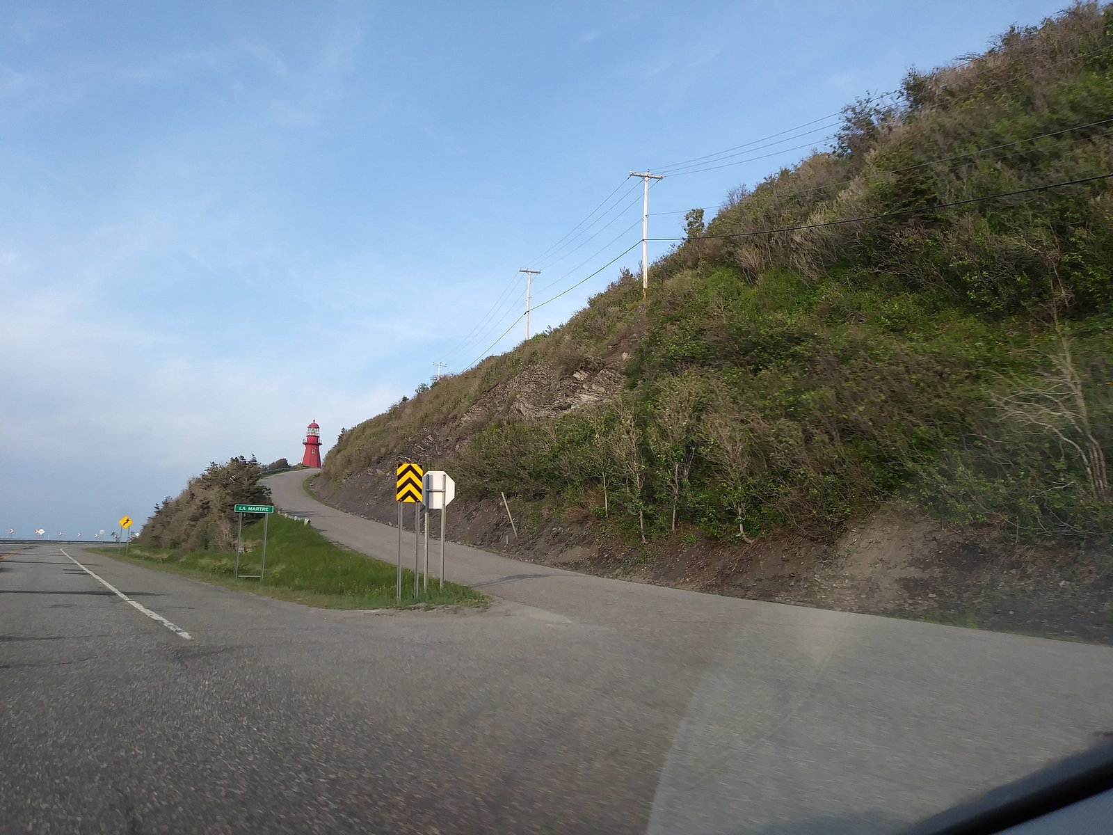
Getting There
Coordinates: 49.2041, -66.1793. The waterfall is in the general Cap-Chat area (approximately 27.2 miles / ~43.8 km from Cap-Chat by road as noted). Access directions are not consistently documented in official park guides; visitors typically reach the vicinity by driving rural/secondary roads off Route 132 and may need to use gravel or logging roads and then walk. Trailheads and official signage may be limited or absent, confirm local access with municipal or regional tourism offices before travel.
Get Directions on Google MapsParking
Parking may be informal (roadside pullout or small gravel areas). There is likely no developed, official parking lot or facilities. Park legally and avoid blocking roads or private driveways.
Elevation
24 metres above sea level
Coordinates
49.204100° N, -66.179253° W
Visitor Tips & Gear
1) Check local resources (municipal tourism office, provincial park staff, recent trip reports) for up-to-date access and road conditions before you go. 2) Wear sturdy, waterproof footwear with good traction; approach rocks with extreme caution. 3) Be prepared for poor or no cell reception in remote areas. 4) Respect private property, stay on public land and posted trails. 5) Avoid going close to the edge of cliffs or wet rock ledges. 6) In spring or after heavy rain expect higher flows and stronger currents, do not attempt risky crossings.
Where to Stay
Browse vacation cabins and private rentals nearby
Unique outdoor stays — tents, yurts, and treehouses
Rent a campervan or RV for your waterfall road trip
Some links are affiliate links. We may earn a commission at no extra cost to you.
Nearby Campground
Camping Rivière La Martre
0.9 km away
Additional Information
Nearby Attractions
Cap-Chat and the surrounding Gaspésie region offer coastal scenery, regional trails, and mountain views. Nearby points of interest in the wider area can include local coastal lookouts, small towns with services, and provincial parks in the Gaspé Peninsula (verify distances and access).
Wildlife
Typical Gaspésie-region wildlife may be present: small mammals, songbirds, raptors, and occasionally larger mammals such as moose or black bear. Be bear-aware and follow standard wildlife-safety practices.
Cities near Le Voile-de-la-Mariée
Writing about Le Voile-de-la-Mariée? Embed this waterfall on your site for free.