Photo Credits (1)
About Honeyman Falls
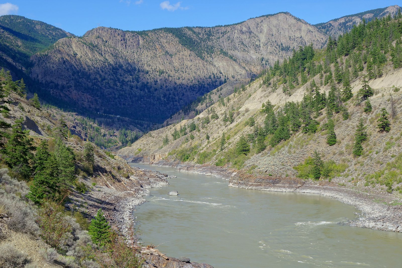
Honeyman Falls is a small waterfall located just outside Lillooet, British Columbia (approx. 2.8 miles / 4.5 km from the town center). The falls are reported at coordinates 50.7352, -121.9406. Resources on this feature are scarce, so details vary by report; flow appears seasonal (peak in spring and early summer from snowmelt) and the falls are set in a steep, rocky canyon typical of the Lillooet area. Exact height and official name usage may vary in local sources.
Why This Waterfall Exists
Honeyman Falls flows over Ladner Group, a layered sedimentary rock layer deposited about 168-201 million years ago. Over time, the stream has worn through these layers at different rates, creating the step that forms the waterfall.
Trail & Hike Details
Trail Description
There is no widely published maintained trail description for Honeyman Falls. Local visitor reports suggest a short, unmaintained approach from a nearby road with uneven, rocky terrain and possible steep sections down to the creek. Expect minimal signage, possible bushwhacking, and unstable underfoot conditions. Where a short user path exists it may be rough and eroded.
What to Expect
A natural, relatively remote waterfall setting with likely low visitor numbers. Flow varies by season, highest during spring snowmelt and after heavy rain. Terrain may include loose rock, tree roots, and steep slopes. Limited facilities (no toilets, picnic tables, or trash service) are expected. Cell coverage may be intermittent.
Accessibility
Not accessible for wheelchairs or visitors with limited mobility. Approach likely involves uneven, steep, and unmaintained terrain.
Frequently Asked Questions
🐶 Are Dogs Allowed at Honeyman Falls?
❌ Dogs are not allowed
Are There Any Fees or Permits Required?
🆖 No fees required
🏊 Is There Swimming at Honeyman Falls?
❌ Swimming is not allowed
When to Visit
Late spring to early summer typically offers the best water flow from snowmelt. Early fall can be pleasant for lower flows and drier trails. Winter visits are possible but can be icy, snowy, and hazardous, only for experienced winter hikers with proper gear.
Seasonal Access
The best time to visit is Spring, Summer, and Fall. Winter access may be limited. Check with the managing park or local authority for current conditions.
Safety Information
Expect unstable, slippery rock near the falls and steep drop-offs. Flashy creek flows after heavy rain or sudden snowmelt can increase hazard. Cell coverage may be limited; emergency response could be delayed. Use caution on unmaintained roads (washouts, loose gravel) and consult local authorities about seasonal road closures. Always tell someone your route and expected return time.
Current Water Conditions
37.9 m³/s
Current discharge — how much water is flowing
About average for this time of year
Based on 82 years of record
1.45 m
Water depth at gauge
7-Day Discharge Trend
What does this mean for your visit?
Flow is about average for this time of year.
About This Gauge
7-Day Flow Outlook
Based on the WSC gauge SETON RIVER NEAR LILLOOET (7 km away).
Today
Moderate
38 m³/s
8/10Tomorrow
Moderate
41 m³/s
8/10Tue
Moderate
41 m³/s
9/10Wed
Moderate
41 m³/s
8/10Thu
Moderate
44 m³/s
6/10Fri
Moderate
47 m³/s
6/10Sat
Moderate
45 m³/s
9/10Best window: Tue — moderate flow, mainly sunny (trip score 9/10).
Best time of year: this gauge typically runs highest from late May to mid July, peaking in June.
How we calculate this
This is a transparent outlook, not a precise forecast. We take the waterfall's current flow strength (how it ranks against its historical normal for today, from the nearest WSC stream gauge), carry that ranking forward along the gauge's seasonal curve, and nudge it for forecast rain. Confidence is highest for the next day or two and falls further out. Always check official conditions and your own judgment before visiting — high flows can be dangerous.
Know when to go.
Get a free email alert when waterfalls near Lillooet hit peak flow. We only send when conditions are worth the trip — no weekly newsletters, no spam.
Weather Forecast
Location & Access
Getting There
Use the provided coordinates (50.7352, -121.9406) in a GPS or mapping app. The falls are approximately 2.8 miles (4.5 km) from Lillooet; access likely involves local secondary/forestry roads or short cross-country approach from a nearby road. Visitors should consult up-to-date local maps, recent trip reports, or contact local authorities (Town of Lillooet or regional district) for current road conditions.
Get Directions on Google MapsParking
There is likely only informal roadside or small pullout parking near the access point. Parking may be limited and on unpaved surfaces; a high-clearance vehicle may be advisable for forest/seasonal roads. Confirm local access before driving.
Elevation
570 metres above sea level
Coordinates
50.735194° N, -121.940566° W
Visitor Tips & Gear
1) Use the exact coordinates and current maps to plan your approach; logging/forest roads can change. 2) Wear sturdy footwear and be prepared for uneven, slippery terrain. 3) Bring water, a map, and a charged phone; tell someone your plans. 4) Check for recent trip reports or local advice in Lillooet for current conditions and road access. 5) Be cautious near edges and wet rock; do not attempt risky climbs or jumps. 6) Pack out all trash and respect private property and posted closures.
Where to Stay
Browse vacation cabins and private rentals nearby
Unique outdoor stays — tents, yurts, and treehouses
Rent a campervan or RV for your waterfall road trip
Some links are affiliate links. We may earn a commission at no extra cost to you.
Nearby Campground
Fraser Cove Campground
3.6 km away
Additional Information
Nearby Attractions
Town of Lillooet (historic sites, services), Fraser River viewpoints, Seton Lake and surrounding trails. The greater region offers hiking, fishing, and scenic drives; check local visitor information for options.
Wildlife
Typical interior-British Columbia wildlife may be present: black bears, deer, small mammals, and birds. Be alert for wildlife and follow standard bear-safety practices. Rattlesnakes are uncommon in immediate Lillooet area but other wildlife hazards (e.g., cougars) are possible in rural areas.
Cities near Honeyman Falls
Writing about Honeyman Falls? Embed this waterfall on your site for free.