Photo Credits (5)
Difficulty
Moderate
Trail Length
5.3 km
Trail Type
Loop
Elevation Gain
185 m
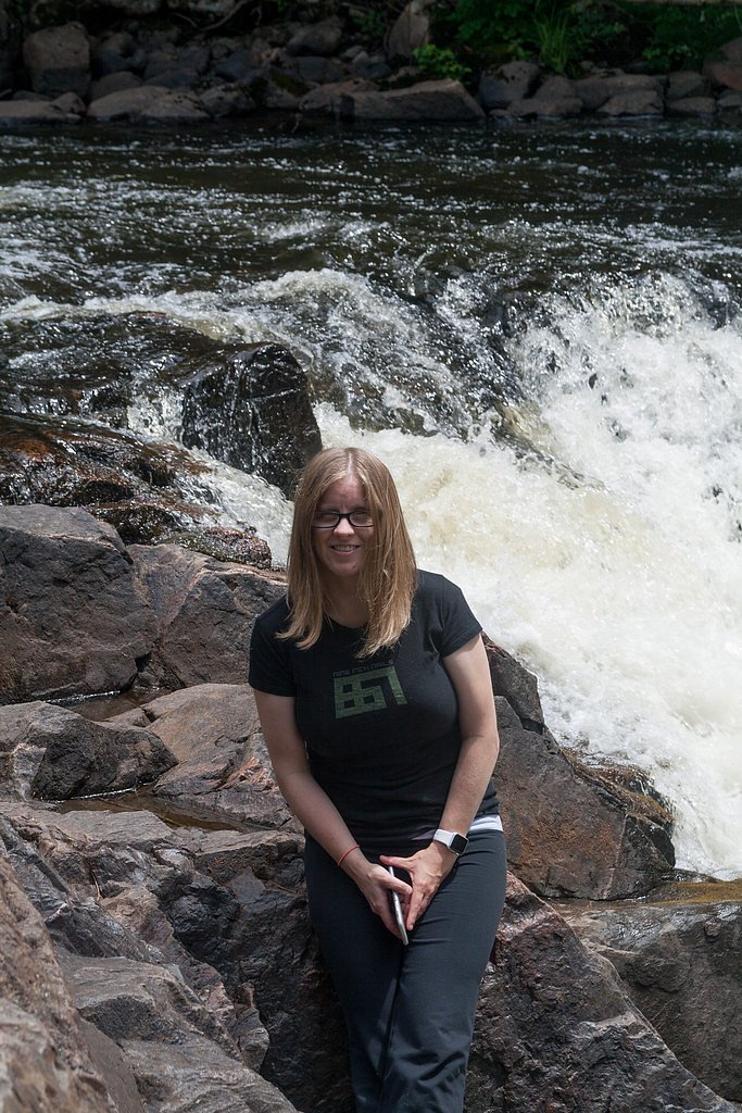
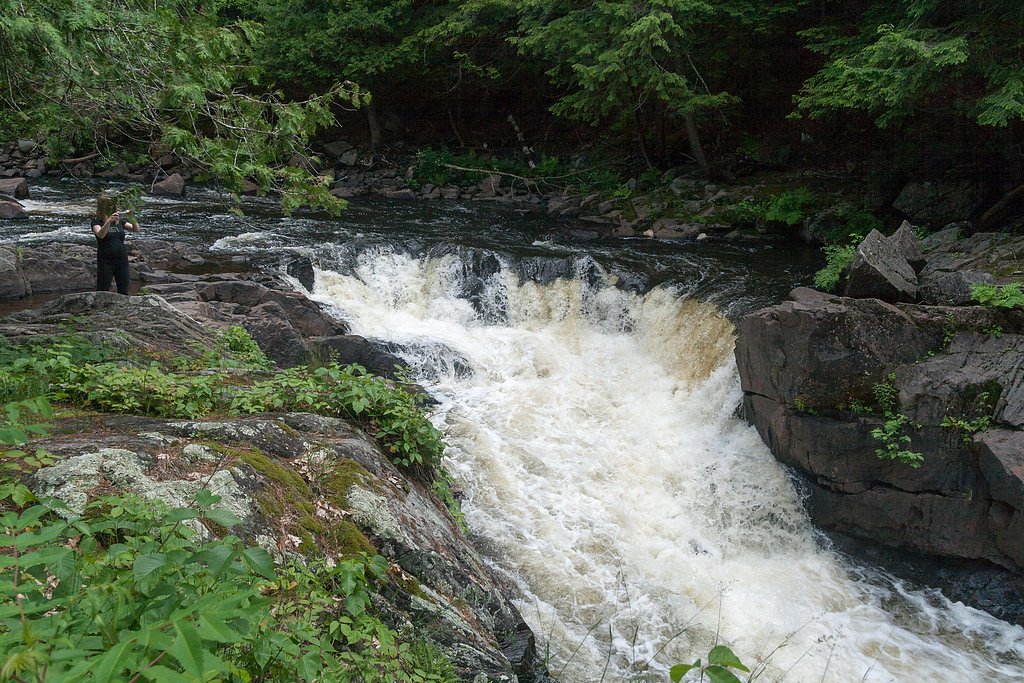
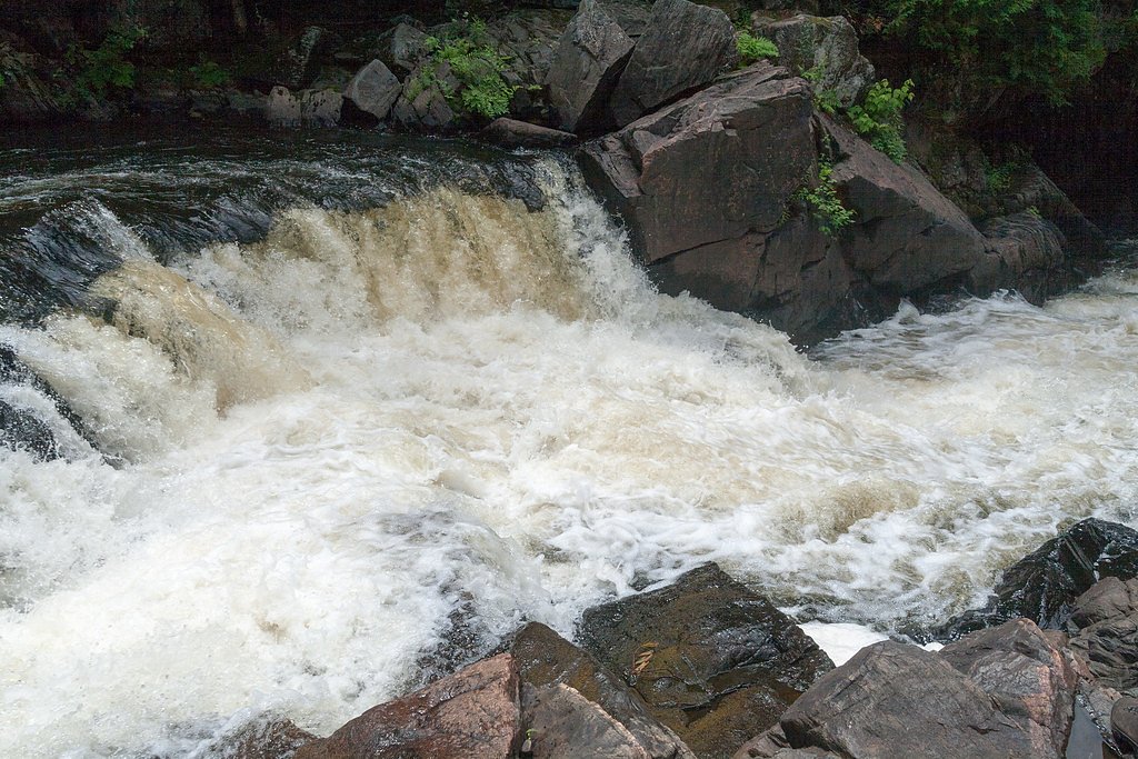
About Gut falls
Gut Falls is a small to medium cascade-style waterfall in southeastern Ontario (coordinates 44.7667, -77.8732). The falls sit in a mixed forest setting and are best known for a scenic rock-and-woodland backdrop. Flow and appearance vary seasonally, highest flows are typically in spring and after heavy rain, while winter can create ice features but also hazardous conditions. Specific on-site facilities and official management (municipal, conservation authority, or private) are not confirmed here, so visitors should verify local access before travel.
Why This Waterfall Exists
Gut falls flows over hard intrusive rock, primarily granodiorite and tonalite, laid down about 539 million to 1.6 billion years ago. These resistant rocks form a durable ledge that water cannot easily wear away, creating the falls where softer material downstream has already eroded.
Trail & Hike Details
The Approach
The moderate 5.3-km loop trail gains 185 metres of elevation on the way to the falls.
Trail Description
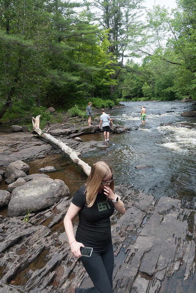
Trail access (where present) is likely a short walk through mixed hardwood forest on uneven natural surfaces with exposed roots and rocks. Expect sections with rock scrambles or informal stair sections near the viewing areas; boardwalks or maintained viewpoints may exist but are not guaranteed. Trails may be muddy after rain and icy in winter.
What to Expect
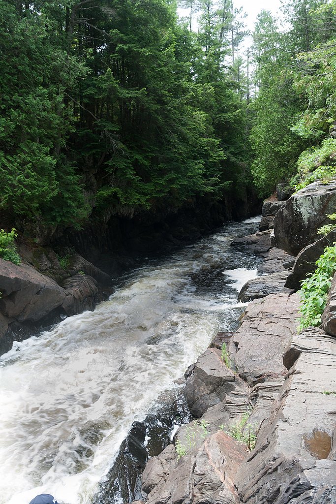
A scenic cascade over bedrock with variable flow. The setting is forested with typical Ontario understory. There may be limited or no facilities (toilets, picnic tables). Cell service may be spotty depending on provider. Conditions can change quickly after rain, water levels and currents may increase significantly.
Accessibility
The trail is not wheelchair accessible. Uneven terrain and elevation changes require steady footing.
Frequently Asked Questions
🐶 Are Dogs Allowed at Gut falls?
❌ Dogs are not allowed
Are There Any Fees or Permits Required?
🆖 No fees required
🏊 Is There Swimming at Gut falls?
❌ Swimming is not allowed
When to Visit
Spring for highest flows and dramatic water; fall for foliage color; early morning or weekday visits to avoid the fewest people. Avoid visiting directly after heavy rain for safety, and exercise extreme caution or avoid the site in winter due to ice and unstable surfaces.
Seasonal Access
The best time to visit is Spring, Summer, Fall, and Winter. Check with the managing park or local authority for current conditions.
Safety Information
Hazards include slippery rock and ledges, steep drop-offs, strong currents, cold water, loose footing on approaches, ticks, and unstable ice in winter. Do not climb on wet rocks, do not swim unless a designated safe area is provided, and supervise children closely. If unfamiliar with the area, tell someone your expected return time and carry a charged phone.
Current Water Conditions
1.3 m³/s
Current discharge — how much water is flowing
Lower than usual for this time of year
Based on 51 years of record
12.33 m
Water depth at gauge
7-Day Discharge Trend
What does this mean for your visit?
Flow is lower than usual for this time of year.
About This Gauge
This gauge is on a nearby waterway and may not reflect exact conditions at the falls.
7-Day Flow Outlook
Based on the WSC gauge CROWE RIVER NEAR GLEN ALDA (10 km away).
Today
Low
1.3 m³/s
5/10Tomorrow
Low
1.3 m³/s
5/10Tue
Moderate
1.4 m³/s
4/10Wed
Moderate
1.3 m³/s
5/10Thu
Low
1.2 m³/s
5/10Fri
Moderate
1.3 m³/s
5/10Sat
Moderate
1.2 m³/s
5/10Best window: Today — low flow, partly cloudy (trip score 5/10).
Best time of year: this gauge typically runs highest from mid March to early June, peaking in April.
How we calculate this
This is a transparent outlook, not a precise forecast. We take the waterfall's current flow strength (how it ranks against its historical normal for today, from the nearest WSC stream gauge), carry that ranking forward along the gauge's seasonal curve, and nudge it for forecast rain. Confidence is highest for the next day or two and falls further out. Always check official conditions and your own judgment before visiting — high flows can be dangerous.
Know when to go.
Get a free email alert when waterfalls near Peterborough hit peak flow. We only send when conditions are worth the trip — no weekly newsletters, no spam.
Weather Forecast
Location & Access
Getting There
The falls are located at approximately 44.7667, -77.8732, roughly 40–50 miles from the cities you noted (Peterborough and Belleville). Access is by car on local county roads; the final approach is typically on a smaller paved or gravel road. Exact turn-by-turn directions and the correct access point depend on local signage and property boundaries, check a current map or local conservation authority for the most reliable route.
Get Directions on Google MapsParking
Parking details are not confirmed. Expect a small informal or municipal/conservation-area lot or roadside parking. Space may be limited and subject to seasonal closures or restrictions; avoid blocking driveways or gates.
Elevation
313 metres above sea level
Coordinates
44.766699° N, -77.873244° W
Visitor Tips & Gear
• Verify current access and parking with local municipal or conservation authority before you go. • Wear sturdy, closed-toe shoes with good traction; expect uneven and slippery rock. • Stay behind any posted barriers and keep a safe distance from the waterfall edge, wet rock is slippery and falls can be fatal. • Bring insect repellent (ticks are common in this region) and check for ticks after your visit. • Carry water, a basic first-aid kit, and a map or downloaded directions in case of poor cell service. • Respect private property: do not trespass on fences or gates.
As an Amazon Associate, we earn from qualifying purchases.
With 5.3 km and 185 m of elevation gain, sturdy boots and trekking poles will help on this moderate trail. Icy conditions are common in winter — traction cleats are a smart addition.

Columbia Watertight II Rain Jacket
Packs into its own pocket, seam-sealed, and keeps you dry from spray and surprise rain.

Polarized Sunglasses (Knockaround)
Cuts glare off the water so you actually see the falls — and your photos turn out better too.

Earth Pak Waterproof Dry Bag
Keeps your phone and gear dry when waterfall mist soaks everything else.

Waterproof Phone Pouch (AiRunTech)
Cheap insurance — take photos right next to the falls without killing your phone.

Timberland Euro Sprint Mid Waterproof
Trusted waterproof boot with premium leather and grippy rubber sole — reliable on rocky, wet trails.

TrailBuddy Trekking Poles
Lightweight aluminum, cork grips, and flip-locks that actually hold — a best-seller for good reason.
Where to Stay
Browse vacation cabins and private rentals nearby
Unique outdoor stays — tents, yurts, and treehouses
Rent a campervan or RV for your waterfall road trip
Some links are affiliate links. We may earn a commission at no extra cost to you.
Nearby Campground
251
21.4 km away
Additional Information
Nearby Attractions
Specific nearby attractions are not confirmed here. The falls are within driving distance of larger centers (Peterborough and Belleville) that offer services; the surrounding region contains provincial parks, conservation areas, and lakes common to southeastern Ontario. Check regional tourism resources for up-to-date suggestions near the coordinates provided.
Wildlife
Expect typical southeastern Ontario wildlife: white-tailed deer, beavers, small mammals, and a variety of songbirds. Black bears and coyotes occur regionally but are less common near small roadside falls; ticks (including Lyme-carrying ticks) are present, take precautions.
Cities near Gut falls
Writing about Gut falls? Embed this waterfall on your site for free.