Photo Credits (4)
Difficulty
Drive Up
Trail Length
0.2 km
Trail Type
Out And Back
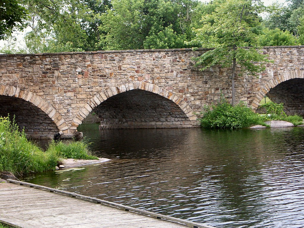
About Furnace Falls
Furnace Falls is a small, likely low-to-moderate-flow cascade located in south-central Ontario (coordinates: 44.8264, -78.5617), roughly within driving distance of Peterborough and Orillia. The feature is not widely documented in major guidebooks, so most visitor information is based on local reports and maps. The falls are typical of smaller Kawartha/Trent-Severn-region streams: scenic year-round but most impressive in spring and after heavy rains. Exact ownership and formal facility development (boardwalks, viewing platforms) are not clearly documented and may vary by site.
Why This Waterfall Exists
Furnace Falls flows over Flinton Group, a hard metamorphic rock layer deposited about 539 million to 1.6 billion years ago. These resistant rocks form a durable ledge that water cannot easily wear away, creating the falls where softer material downstream has already eroded.
Trail & Hike Details
The Approach
No hiking required. Furnace Falls is accessible by vehicle with a roadside viewing area.
Trail Description
Publicly available descriptions of an established maintained trail to Furnace Falls are scarce. If a path exists it is likely a short, informal footpath from a roadside pullout or small parking area. Expect uneven ground, natural obstacles (roots, rocks), and possibly muddy or slippery sections after rain. There may be no official signage, boardwalks, or railings.
What to Expect
A modest cascade or small waterfall set in a mixed forest/stream environment typical of southern Ontario. Water flow will be highest in spring melt and after heavy rain; summer flows may be reduced. Riparian vegetation, fallen logs, and a rocky streambed are common. Facilities (toilets, trash cans, picnic tables) are unlikely unless the falls are within a designated conservation/preserve site. Cell reception may be spotty in some areas.
Accessibility
This waterfall is viewable from a vehicle-accessible area. No hiking is required.
Frequently Asked Questions
🐶 Are Dogs Allowed at Furnace Falls?
❌ Dogs are not allowed
Are There Any Fees or Permits Required?
🆖 No fees required
🏊 Is There Swimming at Furnace Falls?
❌ Swimming is not allowed
When to Visit
Spring (late March–May) for highest flows and dynamic photos; early fall for foliage colors and lower crowds. Summer offers warmer weather but lower flows; winter can be scenic when frozen but presents significant ice hazards.
Seasonal Access
The best time to visit is Spring, Summer, Fall, and Winter. Check with the managing park or local authority for current conditions.
Safety Information
• Slippery and unstable rocks near the falls are a major hazard, do not climb on wet rocks. • Stream currents can be deceptively strong; avoid entering water near the falls. • Sudden increases in flow after rainfall or upstream releases can create hazardous conditions. • Insect hazards (ticks, mosquitoes) and poison ivy are common; take appropriate precautions. • Winter ice can be brittle and dangerous; ice near moving water may not support weight. • Cell service may be unreliable; let someone know your plans and expected return time. • If access crosses or borders private property, respect signage and do not trespass.
Current Water Conditions
8.6 m³/s
Current discharge — how much water is flowing
7.02 m
Water depth at gauge
7-Day Discharge Trend
About This Gauge
7-Day Flow Outlook
Based on the WSC gauge BURNT RIVER AT THREE BROTHERS FALLS (6 km away).
Today
Moderate
8.8 m³/s
8/10Tomorrow
Moderate
8.8 m³/s
8/10Tue
Moderate
10.0 m³/s
6/10Wed
Moderate
10 m³/s
6/10Thu
Moderate
9.1 m³/s
8/10Fri
Moderate
9.5 m³/s
6/10Sat
Moderate
9.1 m³/s
8/10Best window: Today — moderate flow, cloudy (trip score 8/10).
How we calculate this
This is a transparent outlook, not a precise forecast. We take the waterfall's current flow strength (how it ranks against its historical normal for today, from the nearest WSC stream gauge), carry that ranking forward along the gauge's seasonal curve, and nudge it for forecast rain. Confidence is highest for the next day or two and falls further out. Always check official conditions and your own judgment before visiting — high flows can be dangerous.
Know when to go.
Get a free email alert when waterfalls near Peterborough hit peak flow. We only send when conditions are worth the trip — no weekly newsletters, no spam.
Weather Forecast
Location & Access
Getting There
Exact published trailhead and municipal directions are not widely available. The falls sit near 44.8264, -78.5617; access generally requires driving on local/secondary roads and then a short walk. Visitors should consult local maps, municipal websites, or contact area conservation authorities for the most current route and access information before travel.
Get Directions on Google MapsParking
Parking information is not well documented. Expect limited or informal roadside parking or a small pullout rather than a staffed lot. Do not block private driveways or gates. If you find a designated parking area, follow posted rules.
Elevation
295 metres above sea level
Coordinates
44.826375° N, -78.561664° W
Visitor Tips & Gear
• Check local municipal or conservation authority resources before visiting to confirm access and parking. • Wear sturdy footwear with good traction; rocks around falls can be very slippery. • Respect private property, if access appears to cross private land, seek permission. • Pack out what you pack in. No guarantees of facilities or garbage service. • Watch for ticks, mosquitoes, and poison ivy in warmer months. • Avoid getting onto wet rocks near the lip or in the channel, currents and undercut rocks are hazardous. • If photographing in winter, use crampons or spikes; ice can be brittle and hazardous.
Where to Stay
Browse vacation cabins and private rentals nearby
Unique outdoor stays — tents, yurts, and treehouses
Rent a campervan or RV for your waterfall road trip
Some links are affiliate links. We may earn a commission at no extra cost to you.
Nearby Campground
U Of T Survey Camp
17.3 km away
Additional Information
Nearby Attractions
Furnace Falls is in the broader Kawartha/Trent-Severn region; within driving distance are a variety of lakes, the Trent-Severn Waterway, parks and local conservation areas. For specific nearby attractions, consult regional tourism resources for Peterborough and surrounding municipalities.
Wildlife
Typical southern Ontario riparian and forest wildlife may be present: white-tailed deer, beavers, waterfowl, songbirds, turtles, frogs, and small mammals. Black bears are present in parts of Ontario but are generally uncommon in populated areas, be aware of local wildlife advisories.
Cities near Furnace Falls
Writing about Furnace Falls? Embed this waterfall on your site for free.