Photo Credits (5)
About Falls
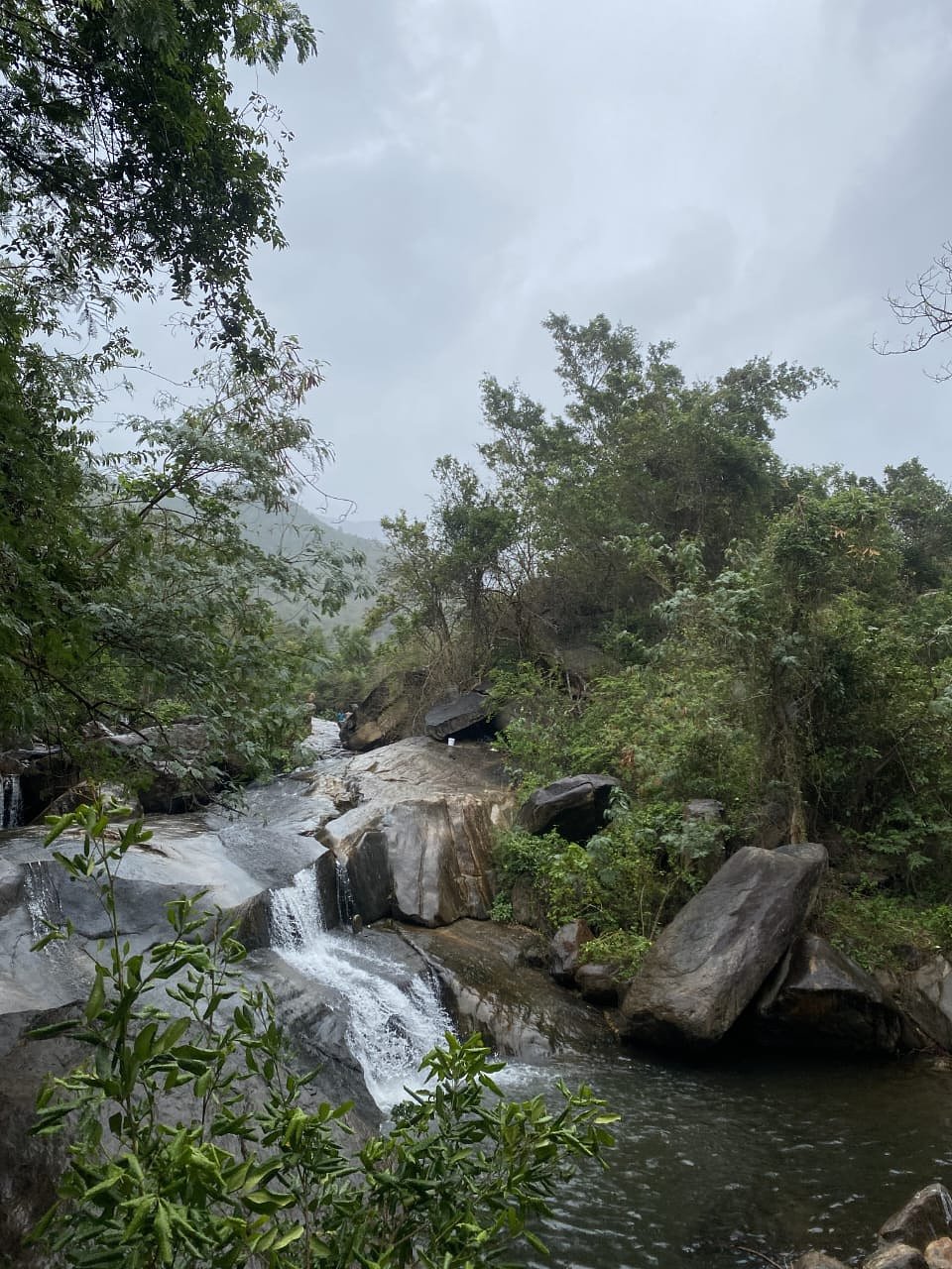
This listing refers to a remote waterfall feature located near coordinates 62.2355, -133.3398 in Yukon, Canada. The feature appears to be in a sparsely populated, backcountry area and is likely on a smaller stream or tributary rather than a major, well-documented waterfall. Official information and widely published trail descriptions are limited or not available; access may be by rough forestry/seasonal roads, ATV trails, floatplane, or cross-country travel. Visitors should expect minimal or no developed infrastructure (no viewing platforms, signage, or maintained trails).
Why This Waterfall Exists
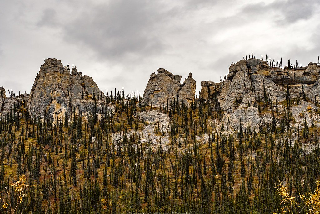
Falls flows over layered sedimentary rock laid down about 201 million to 1.0 billion years ago. Over time, the stream has worn through these layers at different rates, creating the step that forms the waterfall.
Trail & Hike Details
Trail Description
There is likely no maintained trail from a parking area to this waterfall. Approaches may involve off-trail travel through forest, wet ground, muskeg or alder, and possible scramble on steep banks near the stream. Routes may be faint game or resource access tracks rather than formal hiking trails. If a short access trail exists, it is likely primitive and may be seasonally washed out or overgrown.
What to Expect
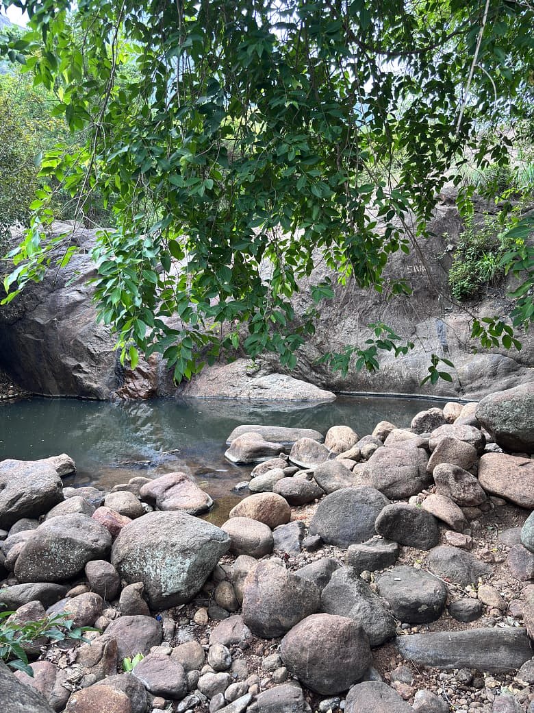
Expect a remote, natural setting with no facilities: no toilets, no trash service, and no signage. Water flow may vary seasonally, highest flows during spring snowmelt and early summer, lower in late summer and fall. Terrain may be steep and wet near the falls; rocks and logs will be slippery. In summer expect mosquitoes and biting insects. Cell service is likely unreliable or absent.
Accessibility
Likely not wheelchair accessible. Terrain, lack of developed trails, and remote access make this site unsuitable for visitors requiring accessible infrastructure.
Frequently Asked Questions
🐶 Are Dogs Allowed at Falls?
❌ Dogs are not allowed
Are There Any Fees or Permits Required?
🆖 No fees required
🏊 Is There Swimming at Falls?
❌ Swimming is not allowed
When to Visit
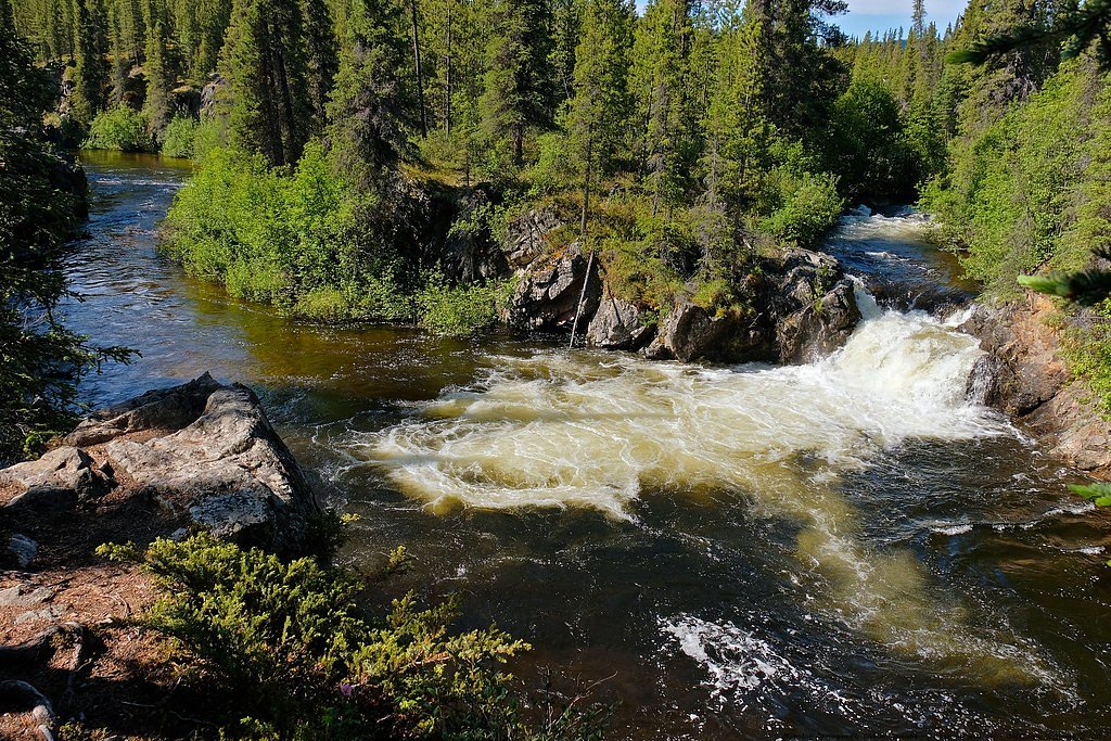
Late spring through early fall provides the most reliable access on ground (frozen winter travel requires specialized equipment). Spring (snowmelt) yields the strongest water flow and dramatic appearance; summer provides easier access and longer daylight; fall offers lower water levels and fall colors but potentially cooler weather. Winter viewing may be possible with snowmobile or ski/snowshoe travel but is more hazardous and may require avalanche awareness depending on terrain.
Seasonal Access
The best time to visit is Spring, Summer, and Fall. Winter access may be limited. Check with the managing park or local authority for current conditions.
Safety Information
This is a remote backcountry location. Hazards include: slippery rocks and unstable banks near the falls, cold water and risk of hypothermia, rapidly changing weather, limited or no cell coverage, long response times for emergency services, wildlife encounters (including bears), and challenging road conditions to access the area. Always tell someone your plan, carry appropriate navigation and emergency communication gear (satellite messenger or PLB recommended), travel with others when possible, and be conservative in route and weather decisions.
Current Water Conditions
444.0 m³/s
Current discharge — how much water is flowing
Higher than usual for this time of year
Based on 52 years of record
5.59 m
Water depth at gauge
7-Day Discharge Trend
What does this mean for your visit?
The water is flowing higher than usual for this time of year.
About This Gauge
7-Day Flow Outlook
Based on the WSC gauge PELLY RIVER BELOW VANGORDA CREEK (3 km away).
Today
Strong
457 m³/s
9/10Tomorrow
Strong
442 m³/s
9/10Tue
Strong
487 m³/s
8/10Wed
Strong
495 m³/s
8/10Thu
Strong
490 m³/s
8/10Fri
Strong
500 m³/s
8/10Sat
Strong
482 m³/s
8/10Best window: Today — strong flow, cloudy (trip score 9/10).
Best time of year: this gauge typically runs highest from early May to early August, peaking in June.
How we calculate this
This is a transparent outlook, not a precise forecast. We take the waterfall's current flow strength (how it ranks against its historical normal for today, from the nearest WSC stream gauge), carry that ranking forward along the gauge's seasonal curve, and nudge it for forecast rain. Confidence is highest for the next day or two and falls further out. Always check official conditions and your own judgment before visiting — high flows can be dangerous.
Weather Forecast
Location & Access
Getting There
Access is likely remote. Getting to the coordinates may require travel on unpaved/seasonal roads, high-clearance or 4x4 vehicle, ATV, or aircraft (floatplane/helicopter) depending on exact approach. There may be no marked trailhead; navigation by GPS and topographic map is recommended. Expect long distances from paved highways and from the nearest communities.
Get Directions on Google MapsParking
No formal parking is expected. There may be informal pullouts on nearby forestry or resource roads or roadside parking if a public road runs nearby. Parking and camping regulations depend on land ownership (Crown land vs. park boundaries), check local authorities if available.
Elevation
777 metres above sea level
Coordinates
62.235473° N, -133.339813° W
Visitor Tips & Gear
• Plan and file a trip plan with someone who will check on you. • Use topographic maps, GPS, and offline navigation tools, do not rely solely on phone service. • Wear sturdy waterproof footwear with good traction; expect muddy and wet approaches. • Bring bear spray and know how to use it; travel in groups when possible. • Pack out all garbage and follow Leave No Trace. • Be cautious near stream edges and wet rocks, slips can be serious and rescue response times are long. • If approaching by vehicle, use a high-clearance vehicle and be prepared for soft or rutted surfaces; avoid travel after heavy rain.
Where to Stay
Browse vacation cabins and private rentals nearby
Unique outdoor stays — tents, yurts, and treehouses
Rent a campervan or RV for your waterfall road trip
Some links are affiliate links. We may earn a commission at no extra cost to you.
Nearby Campground
Johnson Lake Campground
3.9 km away
Additional Information
Nearby Attractions
Specific nearby attractions are not confirmed for this exact coordinate. The region generally offers backcountry lakes, rivers, and boreal forest scenery. Nearest named towns or services may be many tens of kilometres away, plan accordingly.
Wildlife
Bears (black and possibly grizzly in parts of Yukon), moose, wolves, foxes, beavers, and a variety of small mammals and birds. Insects (mosquitoes, blackflies) can be significant in summer. Maintain wildlife-aware practices.
Writing about Falls? Embed this waterfall on your site for free.