About Dike Falls
Dike Falls is a relatively remote cascade in northeastern Ontario, located at approximately 49.9807, -82.4876 and reported to be about 29.9 miles from Kapuskasing. Official, detailed park or tourism information for this specific named feature is limited; visitors should treat published details as approximate and confirm route and access locally before travelling. The falls appear to be on a small river/stream in boreal forest and typically have highest flow in spring runoff and after heavy rain.
Why This Waterfall Exists
Dike Falls flows over hard banded metamorphic rock, primarily gneiss, laid down over 2.5-2.8 billion years ago. These resistant rocks form a durable ledge that water cannot easily wear away, creating the falls where softer material downstream has already eroded.
Trail & Hike Details
Trail Description
There is no widely published, maintained trail description for Dike Falls available from provincial parks or major trail aggregators that can be confirmed here. Access may involve a short scramble from a roadside pullout or an informal path through mixed boreal forest and rocky terrain. Expect uneven, possibly wet or muddy footing and limited signage. If you find a local maintained trail, it is likely short (but this is not confirmed).
What to Expect
Expect a natural, small- to medium-sized cascade over bedrock in boreal forest. Flow is seasonal, highest in spring runoff and after rains, lower in late summer. Surrounding terrain is typical northern Ontario: mixed conifer/deciduous forest, rocks, and possibly wet/mossy ground. Facilities (toilets, trash receptacles, picnic tables) are likely absent. In winter the area can be icy and deep snow may block secondary roads.
Accessibility
The site is likely not wheelchair accessible. Terrain is natural, uneven, and may include rocks, roots, and wet sections. Expect limited or no formal infrastructure.
Frequently Asked Questions
🐶 Are Dogs Allowed at Dike Falls?
❌ Dogs are not allowed
Are There Any Fees or Permits Required?
🆖 No fees required
🏊 Is There Swimming at Dike Falls?
❌ Swimming is not allowed
When to Visit
Late spring (snowmelt and higher flows) for the most dramatic water volume; early fall for color and typically lower insect activity. Summer is fine for accessibility but flows may be reduced. Winter access is possible but roads and trails may be icy or snow-covered and require winter travel experience and equipment.
Seasonal Access
The best time to visit is Spring, Summer, Fall, and Winter. Check with the managing park or local authority for current conditions.
Safety Information
Hazards include slippery rocks and unstable banks near the falls, cold water and strong currents, remote location with limited cell coverage, seasonal insects, and wildlife encounters (including bears). Roads to the site may be unpaved and subject to washouts or closures. Always wear appropriate footwear, avoid getting too close to the edge, supervise children closely, check weather and road reports, and carry emergency supplies. If uncertain about conditions, contact local authorities or the nearest park/forest office before visiting.
Know when to go.
Get a free email alert when waterfalls near Kapuskasing hit peak flow. We only send when conditions are worth the trip — no weekly newsletters, no spam.
Weather Forecast
Location & Access
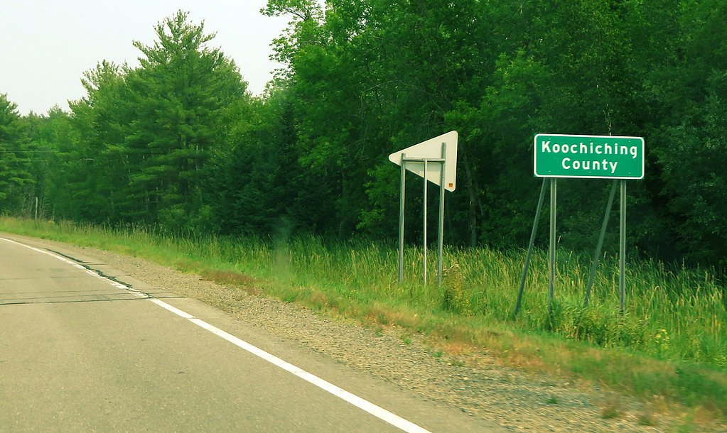
Getting There
From Kapuskasing (approx. 30 miles away) use the provided GPS coordinates (49.9807, -82.4876) in a reliable mapping device. Access will likely require driving on a combination of provincial highway(s) and secondary or forestry/logging roads; public signage and formal trailheads may be minimal or absent. Check local road conditions, forestry activity, and maps before departure. Cell coverage may be spotty; carry offline maps.
Get Directions on Google MapsParking
There may be only an informal pullout or roadside parking near access points. Expect limited or unmarked parking; do not block gates or private driveways. If you reach a maintained trailhead or parking area, follow any posted rules.
Elevation
184 metres above sea level
Coordinates
49.980745° N, -82.487590° W
Visitor Tips & Gear
• Use the exact GPS coordinates and a detailed offline map; signage and cell coverage may be unreliable. • Wear sturdy, waterproof footwear and expect slippery rocks. • Bring insect repellent (black flies/mosquitoes can be intense in spring/summer). • Leave no trace: pack out all trash. • Tell someone your route and expected return time, area is remote. • Check local forestry/land-use notices in case roads are closed for logging.
Where to Stay
Browse vacation cabins and private rentals nearby
Unique outdoor stays — tents, yurts, and treehouses
Rent a campervan or RV for your waterfall road trip
Some links are affiliate links. We may earn a commission at no extra cost to you.
Additional Information
Nearby Attractions
Nearest services and larger population center: Kapuskasing (approx. 30 miles). The broader region offers boreal forest hiking, lakes and rivers for fishing and canoeing. Confirm local points of interest with regional tourism offices before planning a trip.
Wildlife
Typical boreal species may be present, including black bear, moose, white-tailed deer, beaver, and a variety of songbirds and waterfowl. Ticks, black flies and mosquitoes are common in warmer months.
Cities near Dike Falls
Nearby Waterfalls
Writing about Dike Falls? Embed this waterfall on your site for free.