Difficulty
Easy
Trail Length
0.8 km
Elevation Gain
15 m
About Deuxième Chute
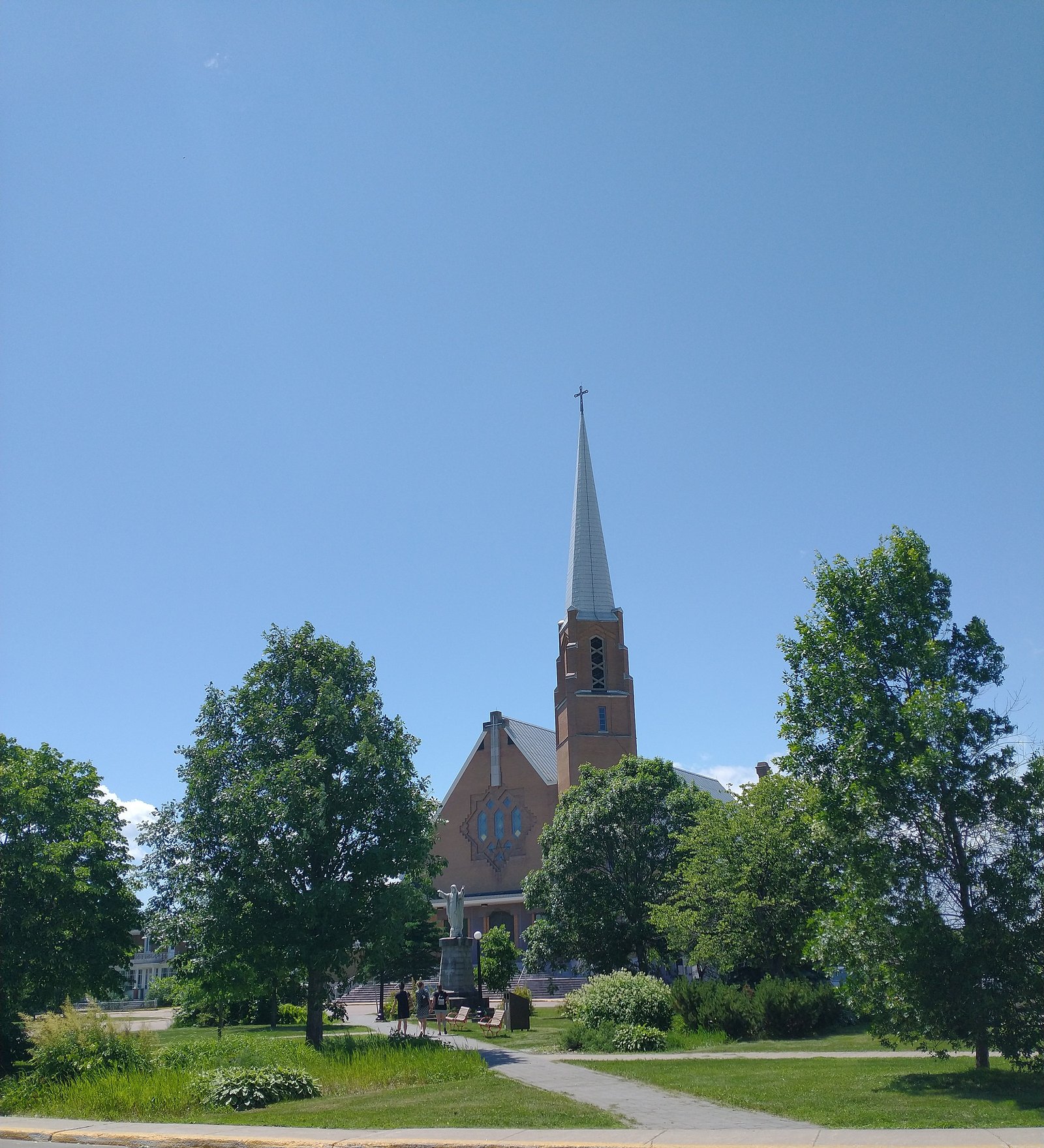
Deuxième Chute is a small waterfall located just outside Dolbeau in the Saguenay–Lac-Saint-Jean region of Québec (approx. 1.0 mile from Dolbeau, coordinates 48.8871, -72.2337). It appears to be a local, forested stream fall, likely one of a series of small falls or cascades in the watershed. Water flow and appearance are highly seasonal (high in spring runoff, lower in late summer). There is limited official information about formal facilities or maintained viewpoints; access may be via a short, informal path or roadside pullout. Visitors should treat details below as approximate and verify locally when possible.
Why This Waterfall Exists
Deuxième Chute flows over hard crystalline rock, primarily gneiss, laid down over 1.6-2.5 billion years ago. These resistant rocks form a durable ledge that water cannot easily wear away, creating the falls where softer material downstream has already eroded.
Trail & Hike Details
The Approach
The easy 0.8-km out-and-back trail gains 15 metres of elevation on the way to the falls.
Trail Description
Access is likely via an unmarked or lightly marked path from a roadside pullout. Expect a short walk through mixed forest or along a riverbank with roots, rocks, and possibly muddy sections. Trails may be informal and not maintained; routefinding can require caution. There are unlikely to be constructed viewing platforms or handrails.
What to Expect
A small, scenic fall in a forested setting. Flow varies by season: high and dramatic during spring melt, lower in late summer. Limited facilities (no toilets, trash bins, or visitor center on-site are likely). Terrain near the fall can be steep, wet and slippery with exposed rocks. Cellphone coverage may be intermittent in some spots.
Accessibility
The trail is short and relatively flat, but the surface may be uneven. Contact the managing agency for accessibility details.
Frequently Asked Questions
🐶 Are Dogs Allowed at Deuxième Chute?
❌ Dogs are not allowed
Are There Any Fees or Permits Required?
🆖 No fees required
🏊 Is There Swimming at Deuxième Chute?
❌ Swimming is not allowed
When to Visit
Spring (late March–May) for highest flows and dramatic water. Fall for foliage color. Summer for easier hiking access when trails are drier. Winter can make for attractive ice formations but increases hazards and may require snow/ice gear.
Seasonal Access
The best time to visit is Spring, Summer, Fall, and Winter. Check with the managing park or local authority for current conditions.
Safety Information
Hazards include slippery rocks and banks, steep drop-offs near the water, strong currents during high flow, variable footing, and possible poor cellphone coverage. Seasonal hazards: icy conditions in winter and unstable banks during spring thaw. No formal safety infrastructure (railings, lifeguards, emergency phones) is expected. Travel with a companion if possible and tell someone your plans.
7-Day Flow Outlook
Based on the WSC gauge MISTASSINI (RIVIERE) EN AMONT DE LA RIVIERE MISTASSIBI (2 km away).
Best time of year: this gauge typically runs highest from late April to late June, peaking in May.
How we calculate this
This is a transparent outlook, not a precise forecast. We take the waterfall's current flow strength (how it ranks against its historical normal for today, from the nearest WSC stream gauge), carry that ranking forward along the gauge's seasonal curve, and nudge it for forecast rain. Confidence is highest for the next day or two and falls further out. Always check official conditions and your own judgment before visiting — high flows can be dangerous.
Know when to go.
Get a free email alert when waterfalls near Dolbeau hit peak flow. We only send when conditions are worth the trip — no weekly newsletters, no spam.
Weather Forecast
Location & Access
Getting There
From Dolbeau (approx. 1 mile), use local roads toward the coordinates 48.8871, -72.2337. The site is near a small stream and may be reached by a short walk from a roadside pullout. Signage and formal trailheads may be limited or absent, use the GPS coordinates and local maps. Check with Dolbeau / Dolbeau-Mistassini visitor information for up-to-date directions.
Get Directions on Google MapsParking
Likely limited roadside parking or a small pullout. Parking may be informal and unpaved; spaces may not be marked. Avoid blocking driveways or narrow roads and park well off the travel lane.
Elevation
106 metres above sea level
Coordinates
48.887054° N, -72.233681° W
Visitor Tips & Gear
• Wear sturdy, closed-toe shoes with good traction, rocks and trail sections can be slippery. • Stay off wet rocks and avoid getting too close to steep edges. • Pack out everything you bring. • Check local conditions (road access and flow) before travelling, especially in spring thaw or after heavy rain. • If visiting in winter, be prepared for icy, snow-covered terrain and limited services. • Be respectful of private property; some access points may cross or border privately owned land.
As an Amazon Associate, we earn from qualifying purchases.
For this easy 0.8 km trail, lightweight trail shoes and a water bottle are usually sufficient. Icy conditions are common in winter — traction cleats are a smart addition.

Columbia Watertight II Rain Jacket
Packs into its own pocket, seam-sealed, and keeps you dry from spray and surprise rain.

Earth Pak Waterproof Dry Bag
Keeps your phone and gear dry when waterfall mist soaks everything else.

Waterproof Phone Pouch (AiRunTech)
Cheap insurance — take photos right next to the falls without killing your phone.

Kahtoola MICROspikes
Cult-favorite traction cleats that grip ice and wet rock — essential for winter waterfall hikes.

Polarized Sunglasses (Knockaround)
Cuts glare off the water so you actually see the falls — and your photos turn out better too.

Osprey Daylite Daypack
Light, organized, and just the right size for a day hike — fits water, snacks, and layers.
Where to Stay
Browse vacation cabins and private rentals nearby
Unique outdoor stays — tents, yurts, and treehouses
Rent a campervan or RV for your waterfall road trip
Some links are affiliate links. We may earn a commission at no extra cost to you.
Nearby Campground
Camping Des Chutes
1.9 km away
Additional Information
Nearby Attractions
The fall is in the general Dolbeau / Lac-Saint-Jean region which offers lakeshore recreation, other small waterfalls and local trails. For confirmed nearby attractions and services, consult the Dolbeau-Mistassini tourist information or regional park websites.
Wildlife
Typical boreal and mixed-woodland species may be present: white-tailed deer, beaver, small mammals, songbirds, and occasionally moose or black bear. Take standard wildlife precautions: store food securely, keep distance, and never approach large animals.
Cities near Deuxième Chute
Nearby Waterfalls
Writing about Deuxième Chute? Embed this waterfall on your site for free.