Photo Credits (5)
About Couchiching Falls
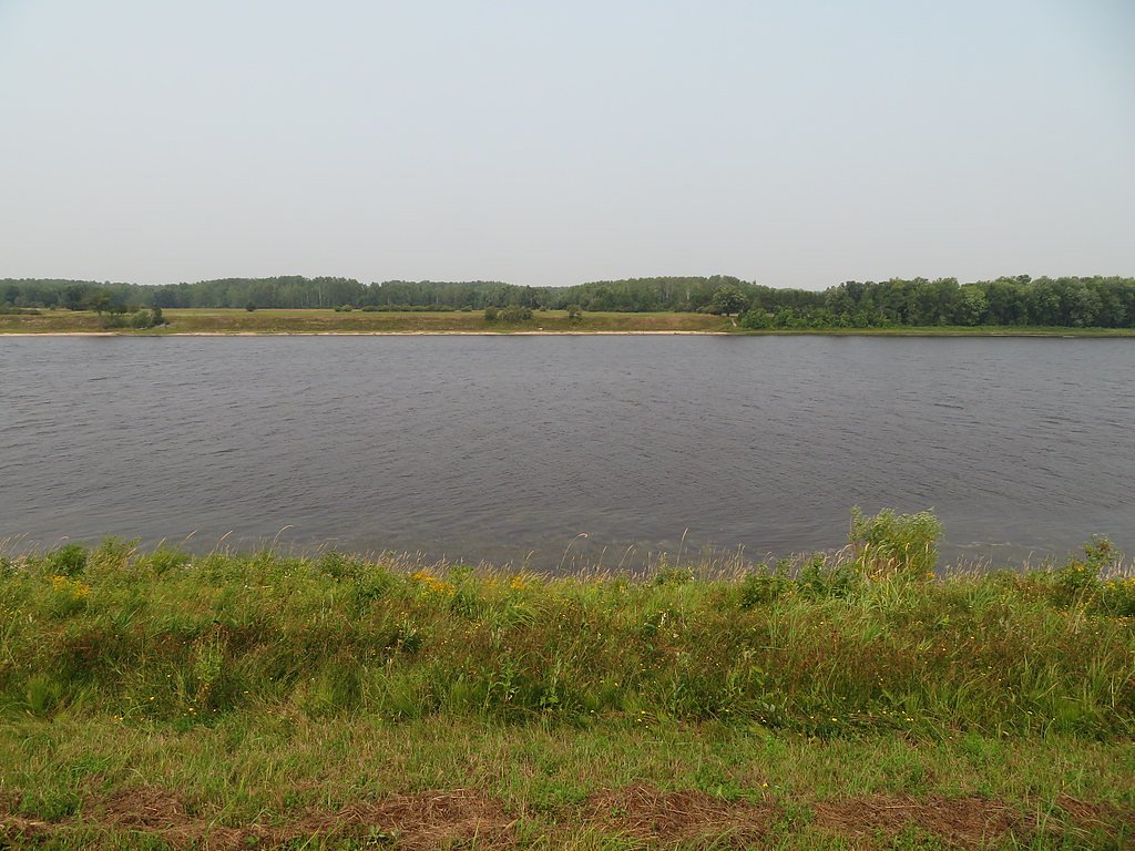
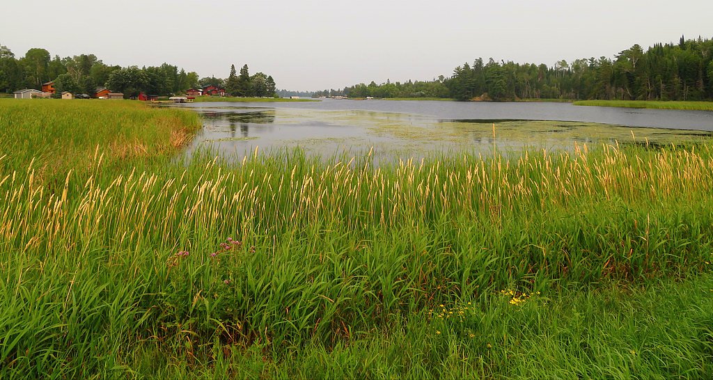
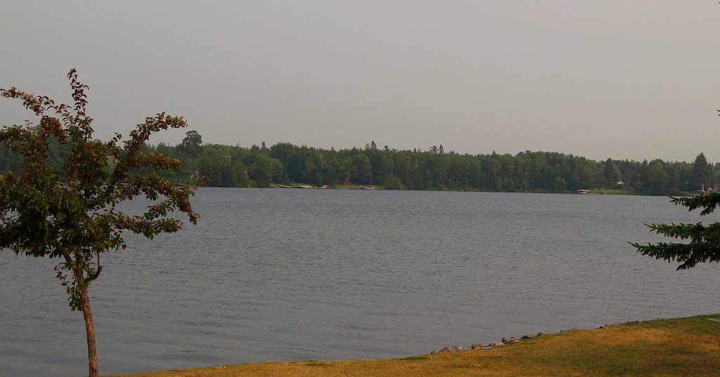
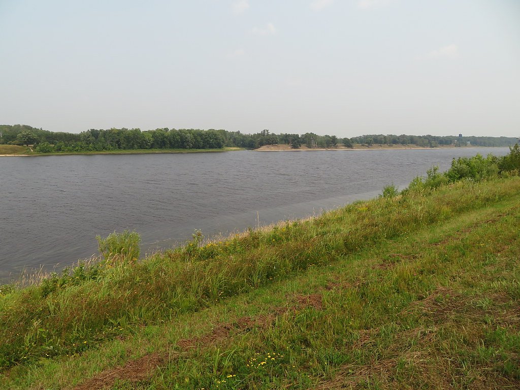
Couchiching Falls (coordinates 48.7602, -80.2437) is a waterfall feature in northeastern Ontario. The site is in a relatively remote, forested region between La Sarre (QC), Cochrane and Timmins. Public information about this specific falls is limited; it appears to be a natural, wooded-river fall rather than a developed park attraction. Visitors should expect a natural, undeveloped setting with limited facilities and potentially rugged access.
The Setting
Couchiching Falls sits at 263 metres within Abitibi-De-Troyes Provincial Park (Cultural Heritage Class), in the foothills of Ontario.
Why This Waterfall Exists
Couchiching Falls flows over hard volcanic rock laid down over 2.5-2.8 billion years ago. These resistant rocks form a durable ledge that water cannot easily wear away, creating the falls where softer material downstream has already eroded.
Trail & Hike Details
Trail Description
Public trail information for Couchiching Falls is scarce. Where trails exist they are likely informal footpaths from a nearby road or small parking turnout through mixed boreal forest. Expect uneven footing, possible wet/muddy sections, roots and rocks. If approaching via forestry roads, a short walk on an unimproved trail or old skidder track is common. Use caution near the water; banks and rocks near the falls may be slippery and unstable.
What to Expect
A remote, natural waterfall setting with forested surroundings. Flow will vary seasonally, higher in spring snowmelt and after heavy rains, lower in late summer and fall. Expect insects (black flies/mosquitoes) in spring and summer, and potentially open water or ice depending on season. Minimal to no visitor services (no restrooms, picnic tables or staffed facilities). Limited signage is likely.
Accessibility
Likely not accessible for visitors with limited mobility. Trails and approaches appear informal and may include uneven, muddy, or steep sections. No documented developed accessibility features.
Frequently Asked Questions
🐶 Are Dogs Allowed at Couchiching Falls?
❌ Dogs are not allowed
Are There Any Fees or Permits Required?
🆖 No fees required
🏊 Is There Swimming at Couchiching Falls?
❌ Swimming is not allowed
When to Visit
Spring (high flows from snowmelt) and fall (cooler temperatures and fall colours) are typically best for visual impact. Summer offers easier travel conditions but lower flows; winter can be scenic with ice formations but access may be difficult and hazardous.
Seasonal Access
The best time to visit is Spring, Summer, Fall, and Winter. Check with the managing park or local authority for current conditions.
Safety Information
This is a remote, undeveloped natural site. Hazards may include slippery rocks, unstable banks, fast or cold water, limited cell service, quickly changing weather, and insects. Seasonal road or trail closures and logging activity may affect access. Use caution near edges, do not climb on wet rock, and avoid visiting alone. If uncertain about conditions, consult local authorities or forest service offices.
Know when to go.
Get a free email alert when waterfalls near La Sarre hit peak flow. We only send when conditions are worth the trip — no weekly newsletters, no spam.
Weather Forecast
Location & Access
Getting There
The falls are located at approximately 48.7602, -80.2437 in northeastern Ontario. Nearest larger communities are La Sarre (about 46 miles), Cochrane (about 48 miles) and Timmins (about 60 miles). Access likely involves secondary/forestry roads and a short walk; GPS or detailed local map/compass recommended. Mobile reception may be limited. Check local forest service or municipal sources for current road conditions and any seasonal closures.
Get Directions on Google MapsParking
Parking information is not well-documented. Expect limited or informal roadside/turnout parking on gravel/forestry roads; there may be no designated lot or facilities. Park safely off the travel lane and avoid blocking gates or private driveways.
Elevation
263 metres above sea level
Coordinates
48.760189° N, -80.243722° W
Land Management
Managed by Ontario Parks
Visitor Tips & Gear
• Confirm driving directions and road status before departing, some approaches may use forestry or seasonal roads. • Tell someone your plans and expected return time when visiting remote areas. • Wear sturdy, waterproof footwear and insect protection in warm months. • Avoid getting too close to the edge of falls or climbing on wet rocks. • Carry adequate water, snacks, a map, and a charged phone (but do not rely solely on reception). • Pack out all trash and follow Leave No Trace principles. • Be prepared for mud and slippery conditions after rain or during spring melt.
Where to Stay
Browse vacation cabins and private rentals nearby
Unique outdoor stays — tents, yurts, and treehouses
Rent a campervan or RV for your waterfall road trip
Some links are affiliate links. We may earn a commission at no extra cost to you.
Additional Information
Nearby Attractions
Nearest towns include La Sarre (QC), Cochrane and Timmins which offer services, accommodations and additional outdoor recreation. The broader region has lakes, provincial parks and forest access roads for hiking, fishing and hunting; check local tourism offices for specifics.
Wildlife
Typical boreal-region wildlife may be present: moose, white-tailed deer, black bear, wolves/coyotes, beaver and a variety of birds. Expect biting insects in warm months. Maintain distance from wildlife and secure food.
Cities near Couchiching Falls
Writing about Couchiching Falls? Embed this waterfall on your site for free.