Photo Credits (3)
Difficulty
Easy
Trail Length
1.9 km
Trail Type
Out And Back
About Chutes Windigo
Chutes Windigo is a set of rapids/chutes on a river near Mont‑Laurier in the Laurentian region of Quebec. The site name (chutes = falls/chutes) suggests narrow, powerful flows over bedrock and through constricted channels. The waterfall is located near coordinates 46.736, -75.6506, roughly 15.5 miles (by road) from the town of Mont‑Laurier. Specific published information on vertical drop and detailed geology is limited; the falls may be best described as a series of chutes and cascades rather than a single high vertical drop.
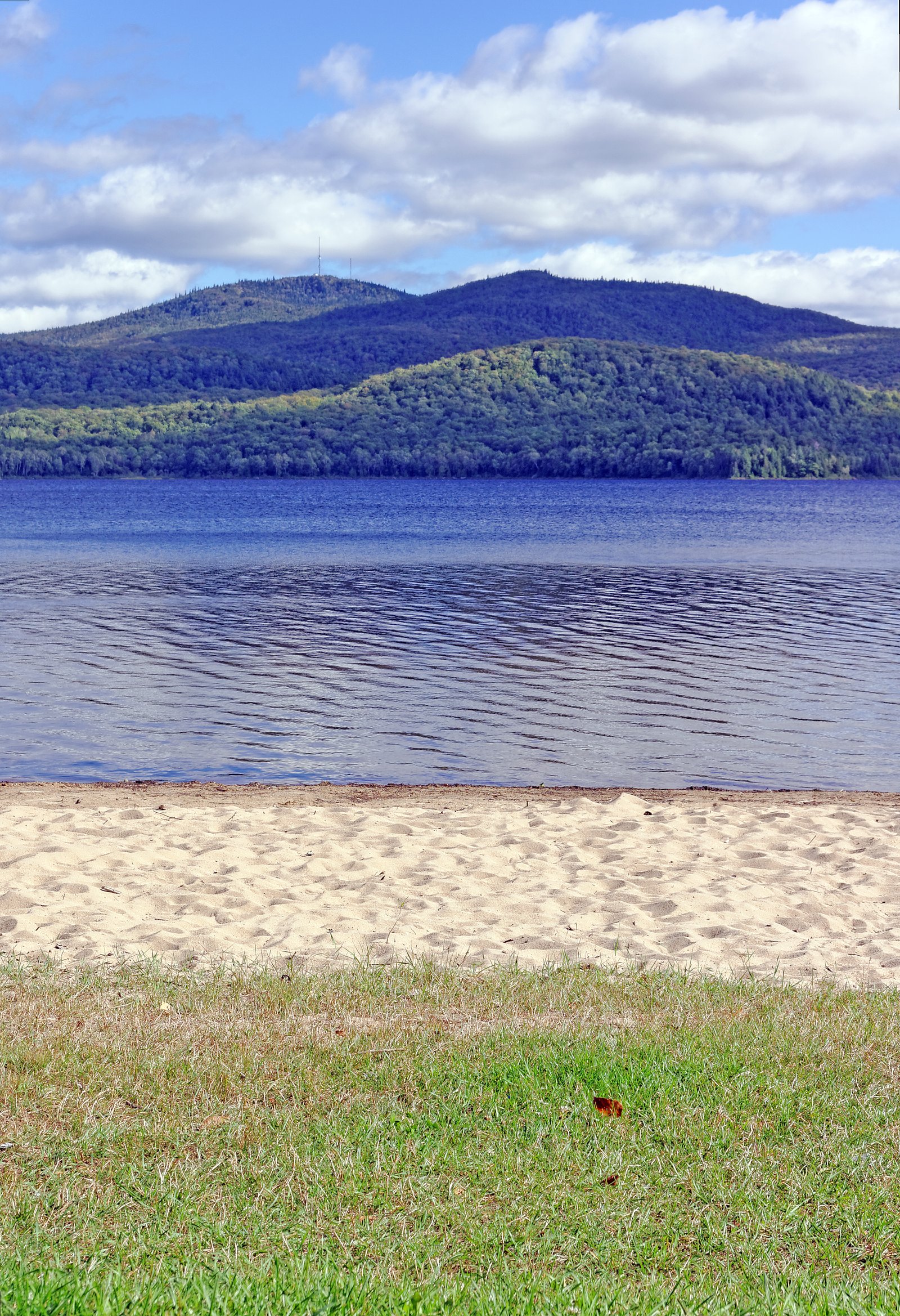
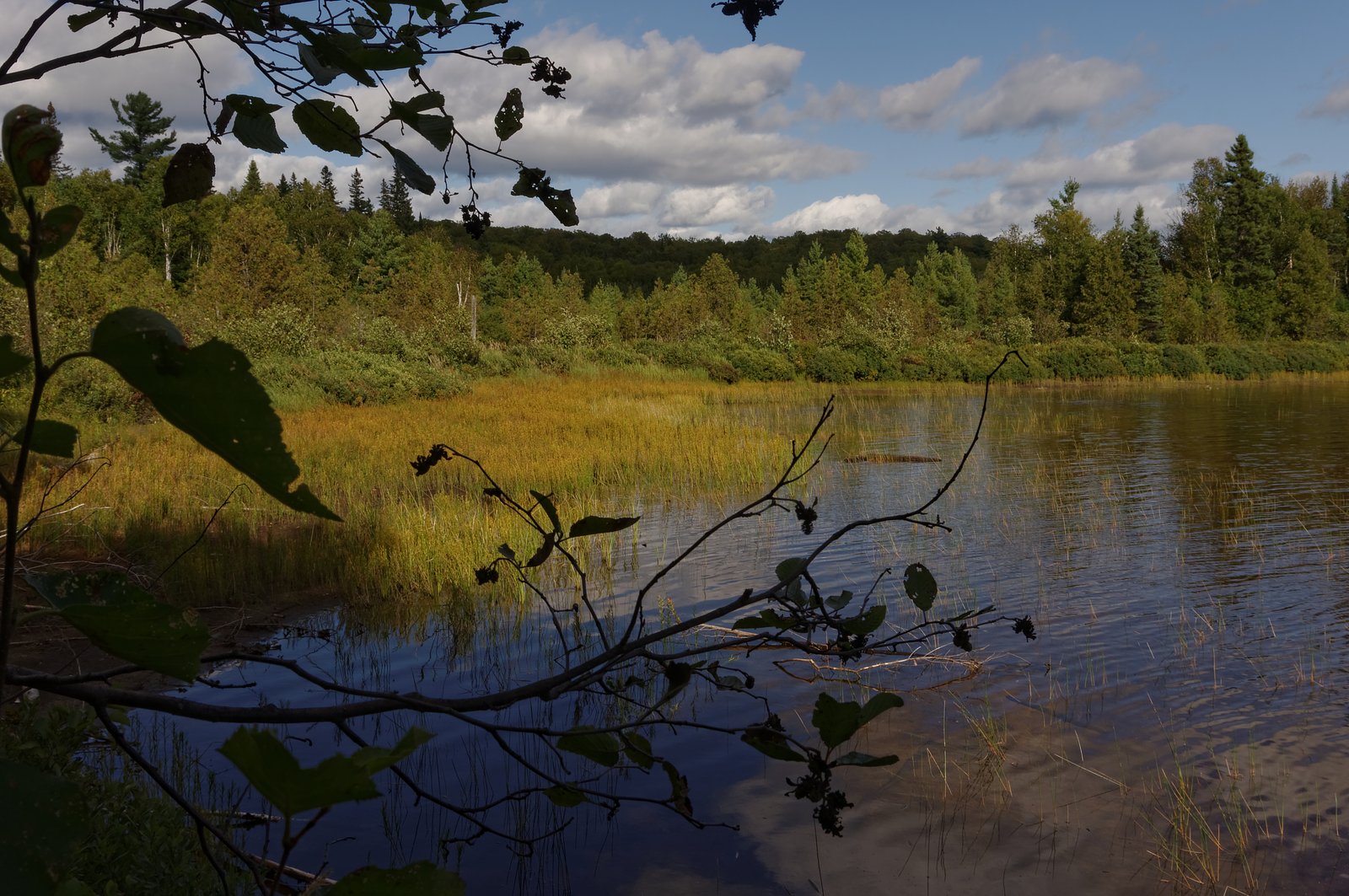
The Setting
Chutes Windigo sits at 298 metres within Proposed Montagne-du-Diable Biodiversity Reserve, in the foothills of Quebec. At 55 metres, it is among the taller waterfalls in Quebec.
Why This Waterfall Exists
Chutes Windigo flows over hard banded metamorphic rock, primarily gneiss, laid down over 1.4-1.6 billion years ago. These resistant rocks form a durable ledge that water cannot easily wear away, creating a 181-foot drop where softer material downstream has already eroded.
Trail & Hike Details
Trail Description
There is limited publicly available trail documentation for Chutes Windigo. The approach may be a short, unmarked path from a roadside pullout or an unmaintained footpath from a nearby logging/forestry road. Expect natural, potentially steep or rocky sections and minimal trail infrastructure (no boardwalks or guardrails). Signage and wayfinding may be limited; navigation with a map or GPS and basic route‑finding skills may be required.
What to Expect
The falls plunge 55 metres over hard banded metamorphic rock.
Accessibility
The trail is not wheelchair accessible. Uneven terrain and elevation changes require steady footing.
Frequently Asked Questions
🐶 Are Dogs Allowed at Chutes Windigo?
❌ Dogs are not allowed
Are There Any Fees or Permits Required?
🆖 No fees required
🏊 Is There Swimming at Chutes Windigo?
❌ Swimming is not allowed
When to Visit
Spring (high flows) for dramatic water volume; early summer for stable access and warmer weather; fall for foliage colors. Winter can offer frozen/icy scenery but presents additional hazards (ice, limited access), so only visit if prepared for winter backcountry conditions.
Seasonal Access
The best time to visit is Spring, Summer, Fall, and Winter. Check with the managing park or local authority for current conditions.
Safety Information
Hazards may include slippery rocks, steep drop‑offs, fast currents, cold water, unstable banks, limited or no railings, seasonal high water, and limited cell service. Do not approach edges or climb on wet bedrock. Check recent conditions before visiting, travel with a partner when possible, and let someone know your plan. In winter, expect ice and avalanche/snow hazards in steep terrain, use appropriate winter equipment and experience.
7-Day Flow Outlook
Based on the WSC gauge LIEVRE (RIVIERE DU) A 2,2 KM EN AMONT DU PONT-ROUTE 311 A LAC-SAINT-PAUL (26 km away).
Best time of year: this gauge typically runs highest from early April to late June, peaking in April.
How we calculate this
This is a transparent outlook, not a precise forecast. We take the waterfall's current flow strength (how it ranks against its historical normal for today, from the nearest WSC stream gauge), carry that ranking forward along the gauge's seasonal curve, and nudge it for forecast rain. Confidence is highest for the next day or two and falls further out. Always check official conditions and your own judgment before visiting — high flows can be dangerous.
Know when to go.
Get a free email alert when waterfalls near Mont-Laurier hit peak flow. We only send when conditions are worth the trip — no weekly newsletters, no spam.
Weather Forecast
Location & Access
Getting There
From Mont‑Laurier drive approximately 15–20 miles (road distance may vary) toward the coordinates 46.736, -75.6506. Access is generally via local / secondary roads and may include forestry or gravel roads. Exact turnoffs and road names are not confirmed here; a detailed map, GPS with the provided coordinates, or local directions from Mont‑Laurier are recommended.
Get Directions on Google MapsParking
There may be a small informal pullout or parking area near the trailhead. Parking infrastructure is not well-documented; expect limited or unpaved parking and possibly no marked lot. If access is via a forestry road, a short drive on unpaved surface is likely.
Elevation
298 metres above sea level
Coordinates
46.735994° N, -75.650582° W
Land Management
Managed by Ministère de l'Environnement, de la Lutte contre les changements climatiques, de la Faune et des Parcs, Direction des aires protégées
Visitor Tips & Gear
• Use the provided coordinates and a reliable map/GPS to locate the site; local roads can be confusing. • Wear sturdy, waterproof footwear with good traction, rocks and approaches will be slippery. • Stay well back from edges and avoid scrambling on wet rock near the chute. • Check recent trip reports or contact local tourism/municipal offices in Mont‑Laurier for current access conditions. • Respect private property and posted signs; some access may cross private land. • Pack out all trash and minimize impact. • If visiting in spring, expect high, fast water and potentially hazardous currents.
Where to Stay
Browse vacation cabins and private rentals nearby
Unique outdoor stays — tents, yurts, and treehouses
Rent a campervan or RV for your waterfall road trip
Some links are affiliate links. We may earn a commission at no extra cost to you.
Nearby Campground
Camping Windigo
0.5 km away
Additional Information
Nearby Attractions
The nearest town is Mont‑Laurier (approximately 15.5 miles by road). The broader region offers lakes, forests, and outdoor recreation typical of the Laurentian area; for specific nearby parks or attractions consult local tourism resources in Mont‑Laurier.
Wildlife
Typical regional wildlife may include white‑tailed deer, beaver, moose, black bear, fox, and a variety of bird species. Take normal precautions for wildlife: store food securely and make noise to avoid surprise encounters.
Cities near Chutes Windigo
Writing about Chutes Windigo? Embed this waterfall on your site for free.