Photo Credits (3)
Difficulty
Easy
Trail Length
2.5 km
Trail Type
Loop
Elevation Gain
29 m
About Chutes Thibodeau
Chutes Thibodeau is a forested-river waterfall site in the Centre-du-Québec / Mauricie region near Trois-Rivières, Quebec (coordinates: 46.3337, -72.2433). The falls are set in a wooded landscape and are likely most impressive during spring snowmelt and after heavy rain. Specific published measurements and official site details are limited, so some access and feature details below are described conservatively and may vary by season.
Why This Waterfall Exists
Chutes Thibodeau flows over layered sedimentary rock laid down about 444-458 million years ago. Over time, the stream has worn through these layers at different rates, creating the step that forms the waterfall.
Trail & Hike Details
The Approach
The easy 2.5-km loop trail gains 29 metres of elevation on the way to the falls.
Trail Description
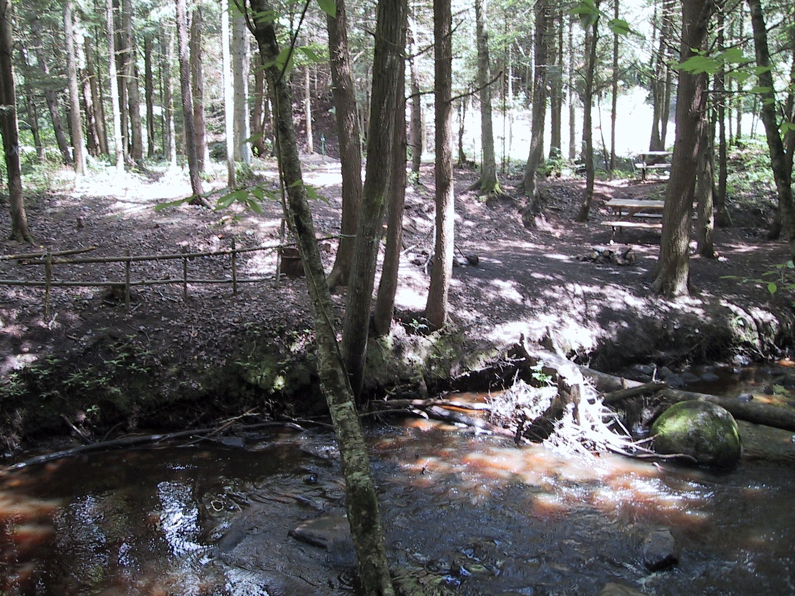
Detailed, published trail descriptions for Chutes Thibodeau are not readily available. Expect a short, informal trail from a nearby parking area or pulloff into a forested gorge or river bank. Trails in similar Quebec waterfall settings can include uneven ground, roots, rocks, and occasional wooden steps or small boardwalks. Signage and maintained paths may be minimal. If visiting in winter, the path may be snow- or ice-covered.
What to Expect
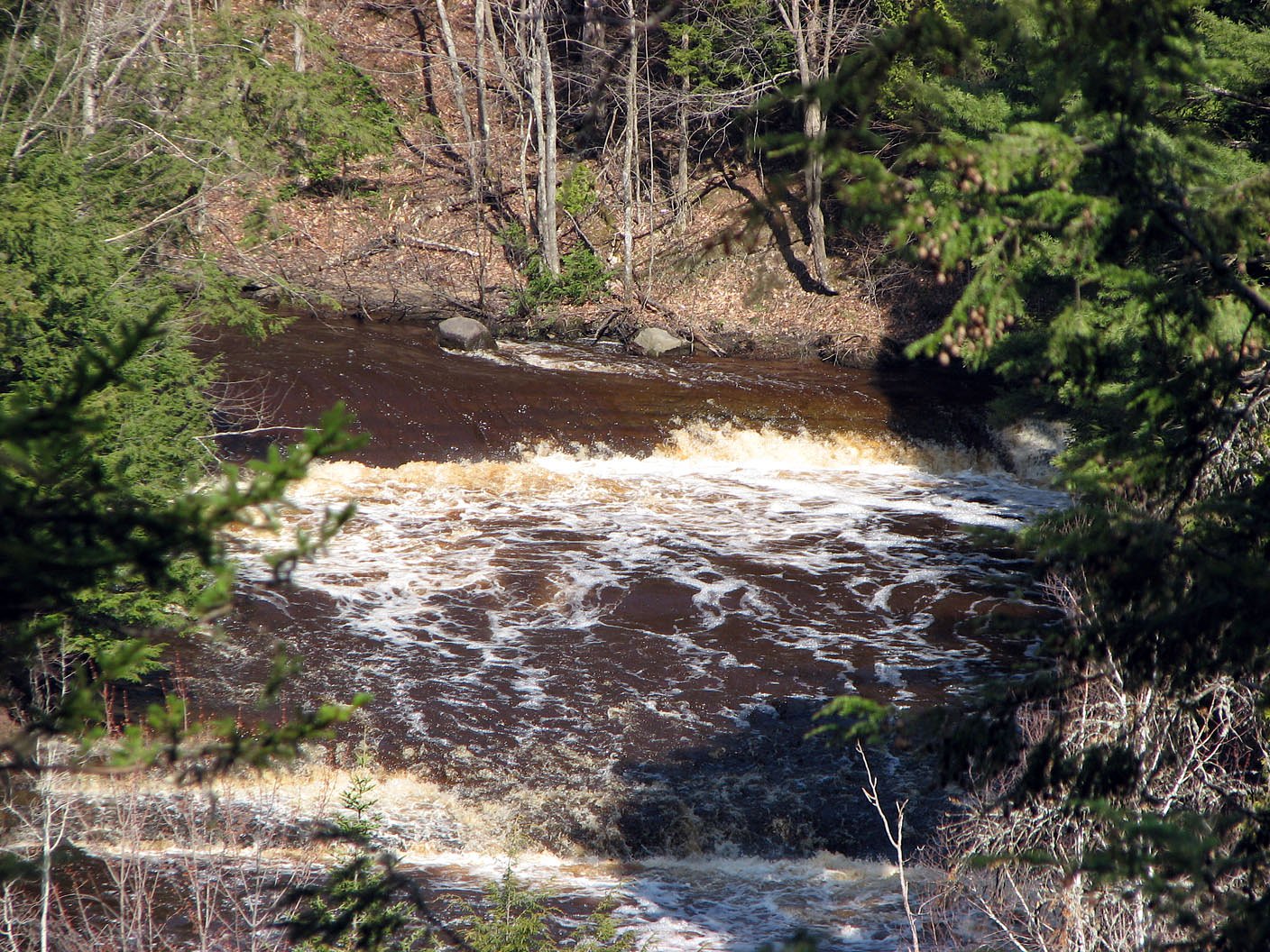
Wooded surroundings with a river/stream channel and cascades. Flow levels vary with season: highest during spring thaw and after heavy rains, lower in late summer and early autumn. The stream may form pools and rapids; rock surfaces near the water can be steep and very slippery. Expect typical boreal/transition forest vegetation. Facilities and services are likely limited or absent.
Accessibility
The trail is not wheelchair accessible. Uneven terrain and elevation changes require steady footing.
Frequently Asked Questions
🐶 Are Dogs Allowed at Chutes Thibodeau?
❌ Dogs are not allowed
Are There Any Fees or Permits Required?
🆖 No fees required
🏊 Is There Swimming at Chutes Thibodeau?
❌ Swimming is not allowed
When to Visit
Spring (late March–May) for peak flow and dramatic water volume; fall for foliage color; summer for easier walking and warm weather (but lower flows); winter can offer frozen cascades for photos but access may be icy or limited. For safety, avoid going during extreme runoff or immediately after heavy storms.
Seasonal Access
The best time to visit is Spring, Summer, Fall, and Winter. Check with the managing park or local authority for current conditions.
Safety Information
Hazards may include slippery rock ledges, steep or unstable banks, strong currents, cold water temperatures, seasonal high flows during spring melt, and limited or no emergency services or cell coverage in parts. Always maintain a safe distance from edges, supervise children closely, and avoid risky photography or climbing. Use caution in winter due to ice and rapidly changing conditions.
7-Day Flow Outlook
Based on the WSC gauge BECANCOUR (RIVIERE) A 6 KM EN AVAL DU PONT DE L'AUTOROUTE 20 (19 km away).
Best time of year: this gauge typically runs highest from late March to mid May, peaking in April.
How we calculate this
This is a transparent outlook, not a precise forecast. We take the waterfall's current flow strength (how it ranks against its historical normal for today, from the nearest WSC stream gauge), carry that ranking forward along the gauge's seasonal curve, and nudge it for forecast rain. Confidence is highest for the next day or two and falls further out. Always check official conditions and your own judgment before visiting — high flows can be dangerous.
Know when to go.
Get a free email alert when waterfalls near Trois-Rivières hit peak flow. We only send when conditions are worth the trip — no weekly newsletters, no spam.
Weather Forecast
Location & Access
Getting There
The waterfall is located at approximately 46.3337, -72.2433, roughly 13.8 miles from Trois-Rivières, about 25.3 miles from Victoriaville and about 31.0 miles from Shawinigan-Sud. Access typically requires driving on regional and local roads; the final approach is likely along a secondary road and may include a short unpaved spur. Use local municipal maps or GPS with the provided coordinates for the most direct route. Confirm road conditions in spring and winter.
Get Directions on Google MapsParking
There may be a small parking area or roadside pulloff near the trailhead; official parking information is not confirmed. Visitors should expect limited facilities (no formal lot, restrooms, or staffed visitor center) and park legally and considerately. If parking on the roadside, ensure visibility and avoid blocking private property.
Elevation
70 metres above sea level
Coordinates
46.333658° N, -72.243255° W
Visitor Tips & Gear
• Wear sturdy, non-slip footwear; rocks near the falls can be wet and slick. • Stay back from cliff and bank edges; they may be unstable. • Check conditions before you go (spring runoff or recent storms can make access hazardous). • Bring insect repellent in summer; ticks and mosquitoes can be present. • Leave no trace: pack out trash and respect private property boundaries. • Cell service may be spotty; tell someone your plans if heading into more remote areas.
As an Amazon Associate, we earn from qualifying purchases.
This easy 2.5 km hike is straightforward — comfortable trail shoes and plenty of water should do. Icy conditions are common in winter — traction cleats are a smart addition.

Columbia Watertight II Rain Jacket
Packs into its own pocket, seam-sealed, and keeps you dry from spray and surprise rain.

Polarized Sunglasses (Knockaround)
Cuts glare off the water so you actually see the falls — and your photos turn out better too.

Earth Pak Waterproof Dry Bag
Keeps your phone and gear dry when waterfall mist soaks everything else.

Waterproof Phone Pouch (AiRunTech)
Cheap insurance — take photos right next to the falls without killing your phone.

Kahtoola MICROspikes
Cult-favorite traction cleats that grip ice and wet rock — essential for winter waterfall hikes.

JOBY GorillaPod Starter Kit
Wraps around railings and rocks for long-exposure waterfall shots — no flat surface needed.
Where to Stay
Browse vacation cabins and private rentals nearby
Unique outdoor stays — tents, yurts, and treehouses
Rent a campervan or RV for your waterfall road trip
Some links are affiliate links. We may earn a commission at no extra cost to you.
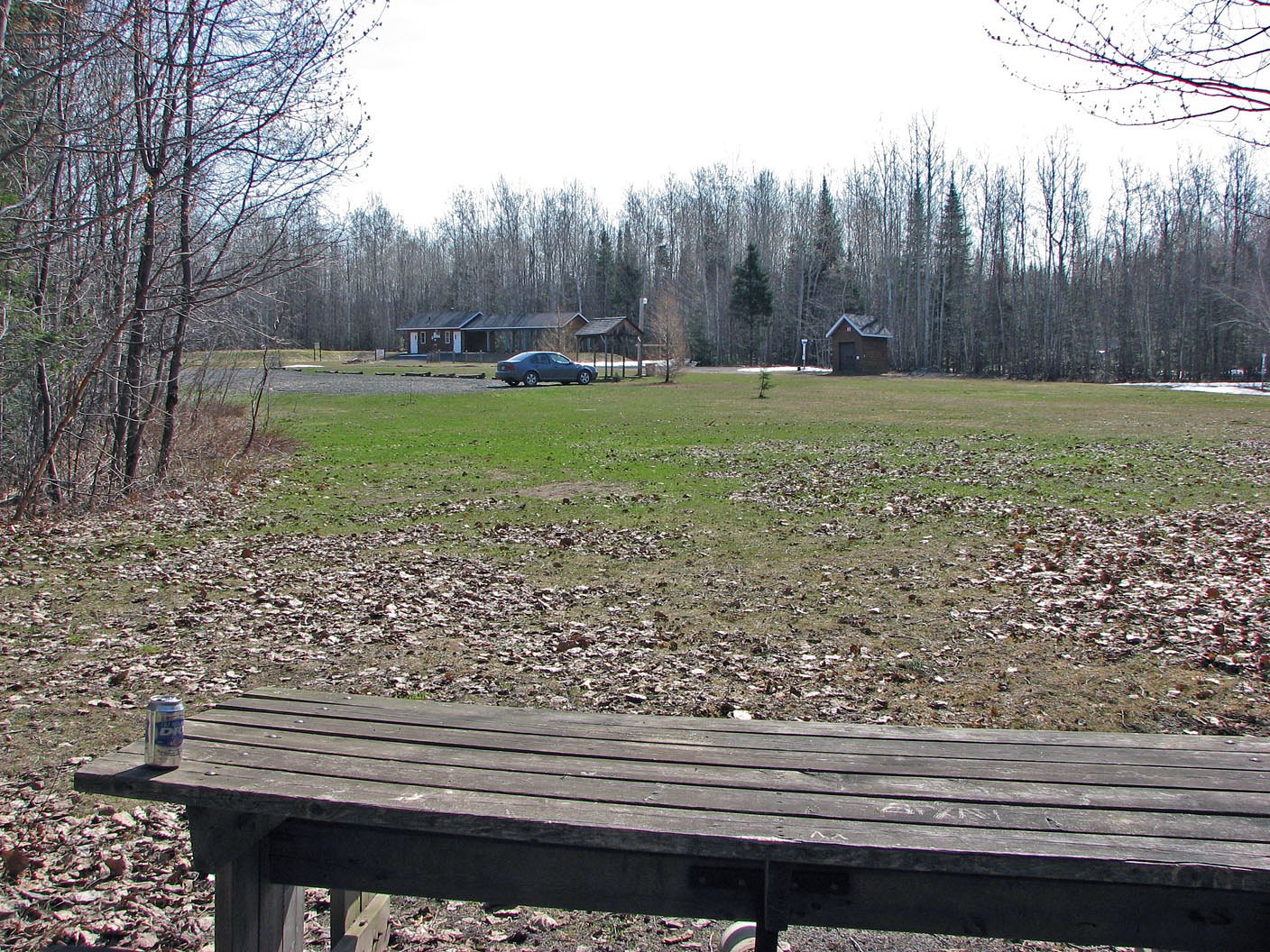
Nearby Campground
Secteur de la Presqu'Île
0.3 km away
Additional Information
Nearby Attractions
Nearby larger communities include Trois-Rivières, Victoriaville and Shawinigan. Parc national de la Mauricie and other regional parks are within driving distance but not necessarily adjacent; confirm specific destinations and distances before planning side trips.
Wildlife
Expect typical regional wildlife such as white-tailed deer, beavers, otters, songbirds and small mammals. Black bears are present in parts of Quebec; practice standard wildlife safety. Mosquitoes and ticks can be abundant in warmer months.
Cities near Chutes Thibodeau
Writing about Chutes Thibodeau? Embed this waterfall on your site for free.