Difficulty
Easy
Trail Length
3.4 km
Trail Type
Out And Back
Elevation Gain
46 m
About Chutes Hunter
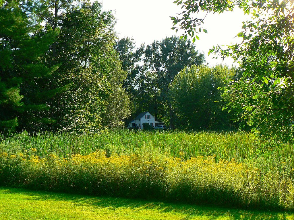
Chutes Hunter (Chute Hunter) is a small rural waterfall/cascade in southern Quebec near the US border. The feature is set in a mixed-wood forest and rocky stream channel and is most notable for higher flows in spring and after heavy rain. The site appears to be on or adjacent to low-use local roads and may have an informal access path rather than a developed trail. Exact vertical drop and formal measurements are not confirmed.
Why This Waterfall Exists
Chutes Hunter flows over layered sedimentary rock laid down about 444-539 million years ago. Over time, the stream has worn through these layers at different rates, creating the step that forms the waterfall.
Trail & Hike Details
The Approach
The easy 3.4-km out-and-back trail gains 46 metres of elevation on the way to the falls.
Trail Description
Where an access path exists it is likely short but unmarked and may involve walking over uneven, rocky, or muddy ground through forest. Trails may not be maintained and could include steep or slick sections near the water. Expect a simple informal approach rather than a developed boardwalk or viewing platform.
What to Expect
A small, natural cascade in a rural Quebec setting. Water flow is highly seasonal, highest in spring melt and after heavy rain, lower in late summer and fall droughts. Expect limited to no facilities (no restrooms, no trash service). Cell reception may be spotty. Terrain around the falls can be rocky and slippery; there are likely no handrails or barriers.
Accessibility
The trail is not wheelchair accessible. Uneven terrain and elevation changes require steady footing.
Frequently Asked Questions
🐶 Are Dogs Allowed at Chutes Hunter?
❌ Dogs are not allowed
Are There Any Fees or Permits Required?
🆖 No fees required
🏊 Is There Swimming at Chutes Hunter?
❌ Swimming is not allowed
When to Visit
Late spring (snowmelt/peak flow) for highest water volume; early summer and fall for pleasant weather and foliage. Avoid very dry periods if seeking strong flow. Winter can offer ice formations but access may be hazardous or limited.
Seasonal Access
The best time to visit is Spring, Summer, and Fall. Winter access may be limited. Check with the managing park or local authority for current conditions.
Safety Information
Hazards include slippery wet rocks, unstable or steep stream edges, strong currents during high flow, cold water, remote location with limited cell reception, ticks and biting insects, and the possibility of private property boundaries. Do not climb on wet ledges or attempt to enter the water near the falls. Always tell someone your plans and estimated return time. Check local conditions before visiting.
7-Day Flow Outlook
Based on the WSC gauge DE LA ROCHE (RIVIERE) A SAINT-ARMAND (13 km away).
Best time of year: this gauge typically runs highest from late March to late April, peaking in April.
How we calculate this
This is a transparent outlook, not a precise forecast. We take the waterfall's current flow strength (how it ranks against its historical normal for today, from the nearest WSC stream gauge), carry that ranking forward along the gauge's seasonal curve, and nudge it for forecast rain. Confidence is highest for the next day or two and falls further out. Always check official conditions and your own judgment before visiting — high flows can be dangerous.
Know when to go.
Get a free email alert when waterfalls near Montréal hit peak flow. We only send when conditions are worth the trip — no weekly newsletters, no spam.
Weather Forecast
Location & Access
Getting There
Coordinates: 45.0659, -72.8674. Use the provided GPS coordinates to locate the site. The falls are in a rural area near the Vermont border; nearby US towns include Enosburg Falls (≈10.4 miles), Highgate Center (≈13.7 miles), and Highgate Springs (≈14.4 miles). Access is typically by local paved or gravel roads to a roadside pullout or informal parking area. Follow local signage and do not trespass on private property.
Get Directions on Google MapsParking
Parking is likely informal/roadside with limited space. There may be no formal lot, restrooms, or maintained facilities. Park well off the travel lane and avoid blocking driveways or gates.
Elevation
92 metres above sea level
Coordinates
45.065851° N, -72.867392° W
Visitor Tips & Gear
• Use the GPS coordinates and a recent map; roads in the area can be rural and poorly signed. • Wear sturdy footwear with good traction; avoid climbing on wet rocks. • Respect private property and posted signage; many small falls in this region have adjacent agricultural or private lands. • Bring insect repellent in summer and check for ticks after hiking. • Leave no trace: pack out all trash. • If visiting in winter, be prepared for icy conditions and limited access; consider traction devices.
As an Amazon Associate, we earn from qualifying purchases.
This easy 3.4 km hike is straightforward — comfortable trail shoes and plenty of water should do. Sun exposure on the trail makes good sun protection a must in summer.

Columbia Watertight II Rain Jacket
Packs into its own pocket, seam-sealed, and keeps you dry from spray and surprise rain.

Earth Pak Waterproof Dry Bag
Keeps your phone and gear dry when waterfall mist soaks everything else.

Waterproof Phone Pouch (AiRunTech)
Cheap insurance — take photos right next to the falls without killing your phone.

Polarized Sunglasses (Knockaround)
Cuts glare off the water so you actually see the falls — and your photos turn out better too.

Osprey Daylite Daypack
Light, organized, and just the right size for a day hike — fits water, snacks, and layers.

OR Sombriolet Sun Hat
UPF 50+ sun protection with vents so your head doesn't cook on exposed trail sections.
Where to Stay
Browse vacation cabins and private rentals nearby
Unique outdoor stays — tents, yurts, and treehouses
Rent a campervan or RV for your waterfall road trip
Some links are affiliate links. We may earn a commission at no extra cost to you.
Nearby Campground
Camping des chutes Hunter
0.9 km away
Additional Information
Nearby Attractions
Regionally, visitors may explore Lake Champlain / Missisquoi Bay, and rural Quebec villages near the US border. The listed nearby U.S. towns are Enosburg Falls (≈10.4 miles), Highgate Center (≈13.7 miles), and Highgate Springs (≈14.4 miles). Other local trails and natural areas may exist nearby, check provincial and municipal recreation resources for current recommendations.
Wildlife
Typical eastern mixed-wood forest species may be present: white-tailed deer, small mammals, songbirds, and potentially black bear. Ticks are present in warmer months. Observe wildlife from a distance and secure food.
Cities near Chutes Hunter
Nearby Waterfalls
Writing about Chutes Hunter? Embed this waterfall on your site for free.