
Photo Credits (5)
Difficulty
Moderate
Trail Length
3.2 km
Trail Type
Loop
Elevation Gain
147 m
About Chutes de Sainte-Ursule
Chutes de Sainte-Ursule is a municipal/locale waterfall feature near the village of Sainte-Ursule in Quebec (coordinates 46.3004, -73.0958). The falls are commonly visited for short walks, viewpoints and seasonal scenery, higher flows in spring and dramatic ice formations in winter. The site is near regional centers such as Trois‑Rivières (≈25.5 miles), Shawinigan‑Sud (≈25.7 miles) and Joliette (≈27.6 miles). Facilities are typically modest (viewing platforms, picnic areas may be present) rather than a large developed park.
The Setting
Chutes de Sainte-Ursule sits at 91 metres in the coastal lowlands of Quebec. At 72 metres, it is among the taller waterfalls in Quebec.
Why This Waterfall Exists
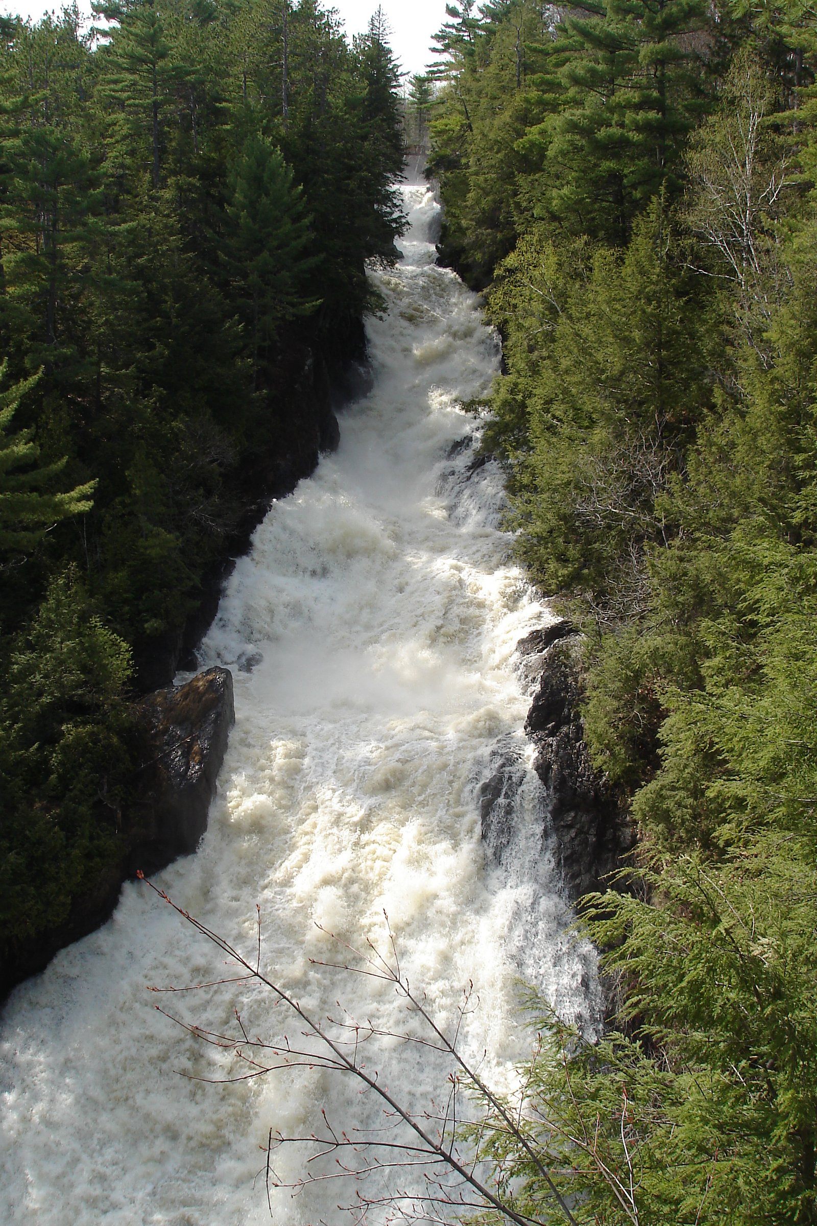
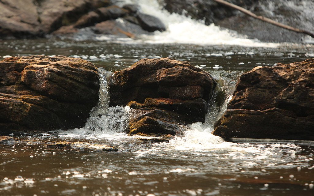
Chutes de Sainte-Ursule flows over layered sedimentary rock laid down about 458-470 million years ago. Over time, the stream has worn through these layers at different rates, creating a 236-foot drop that forms the waterfall.
Trail & Hike Details
The Approach
The moderate 3.2-km loop trail gains 147 metres of elevation on the way to the falls.
Trail Description
Access is typically a short, well-marked walk from the parking area to one or more viewpoints. Trails may include paved or compacted paths, short stair sections or boardwalks and are generally short (suitable for most visitors). Surfaces can be uneven and may include roots, rocks or wet/muddy sections depending on season.
What to Expect
The falls plunge 72 metres over layered sedimentary rock.
Accessibility
The trail is not wheelchair accessible. Uneven terrain and elevation changes require steady footing.
Frequently Asked Questions
🐶 Are Dogs Allowed at Chutes de Sainte-Ursule?
❌ Dogs are not allowed
Are There Any Fees or Permits Required?
🆖 No fees required
🏊 Is There Swimming at Chutes de Sainte-Ursule?
❌ Swimming is not allowed
When to Visit
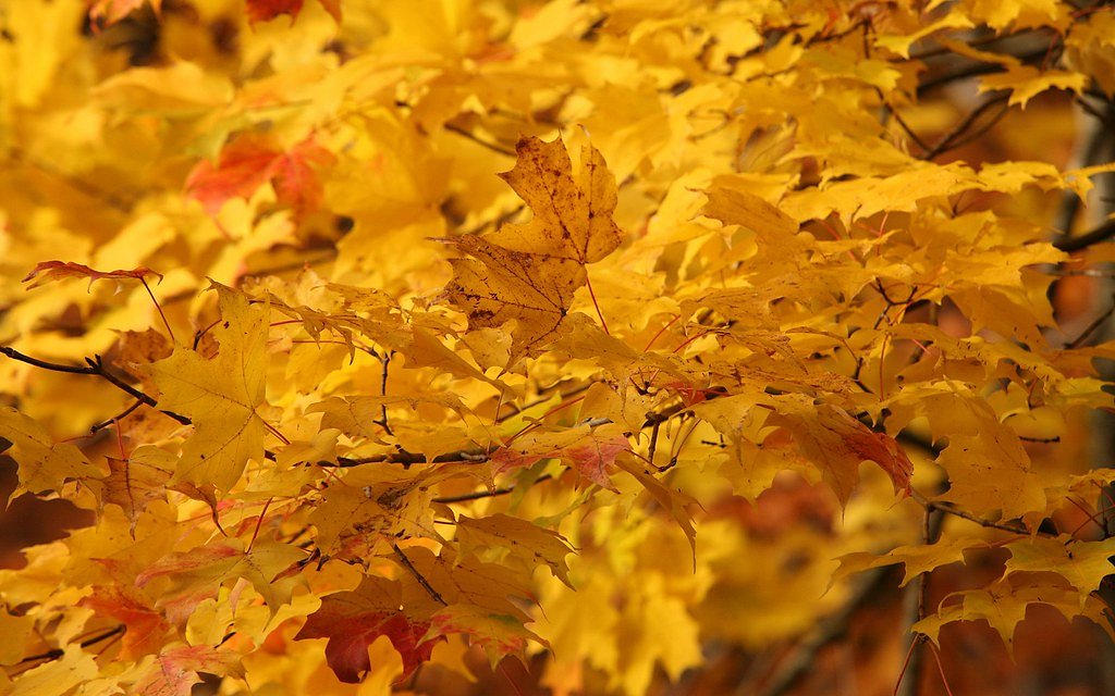
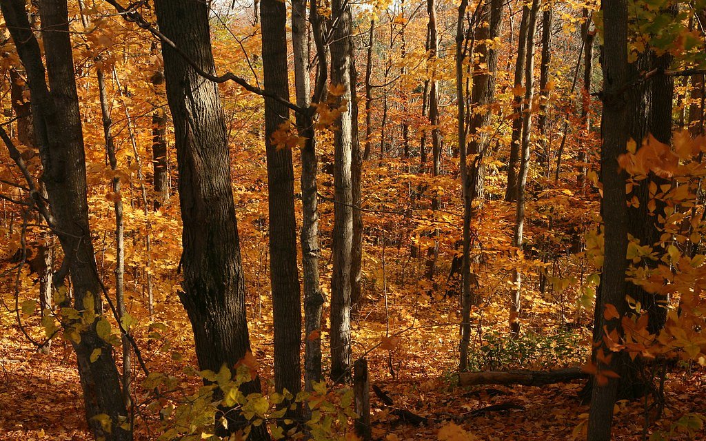
Spring (late melt/after rains) for highest flows and dramatic water volume; early fall for color; summer for mild weather and easier access; winter for ice formations but expect icy, potentially hazardous conditions and some areas closed or unsafe.
Seasonal Access
The best time to visit is Spring, Summer, Fall, and Winter. Check with the managing park or local authority for current conditions.
Safety Information
Hazards include slippery rocks and trails, steep or unstable edges near the falls, strong currents in the water, cold water shock, and icy conditions in winter. Stay on established trails and behind barriers, supervise children closely, and avoid approaching the waterline on wet rocks. After heavy rain or rapid thaws, water levels and currents can increase rapidly, avoid low crossings. Carry a charged phone and tell someone your plans if heading into more remote areas.
7-Day Flow Outlook
Based on the WSC gauge MASKINONGE (RIVIERE) AU PONT DU C.N. PRES DE SAINTE-URSULE (0 km away).
Best time of year: this gauge typically runs highest from early April to early June, peaking in May.
How we calculate this
This is a transparent outlook, not a precise forecast. We take the waterfall's current flow strength (how it ranks against its historical normal for today, from the nearest WSC stream gauge), carry that ranking forward along the gauge's seasonal curve, and nudge it for forecast rain. Confidence is highest for the next day or two and falls further out. Always check official conditions and your own judgment before visiting — high flows can be dangerous.
Know when to go.
Get a free email alert when waterfalls near Trois-Rivières hit peak flow. We only send when conditions are worth the trip — no weekly newsletters, no spam.
Weather Forecast
Location & Access
Getting There
The waterfall is accessed from local roads serving the municipality of Sainte‑Ursule. Use the provided coordinates (46.3004, -73.0958) for GPS navigation. Expect a short drive on paved regional roads from nearby towns; larger towns (Trois‑Rivières, Shawinigan) are roughly 25–30 miles away. Follow local signage to the parking/park entrance.
Get Directions on Google MapsParking
There is typically a small municipal parking area or roadside parking near the trailhead. Parking may be limited at peak times; park legally and avoid blocking gates or driveways.
Elevation
91 metres above sea level
Coordinates
46.300351° N, -73.095811° W
Visitor Tips & Gear
• Wear sturdy, waterproof footwear, rocks and paths can be slippery. • Stay behind barriers and respect signage; do not climb on wet rocks near the falls. • Parking is limited, arrive early at popular times. • Check conditions (mud, ice, high water) before visiting. • Mobile reception may be limited in some spots; tell someone your plans for remote outings. • Bring insect repellent in spring/summer. • If traveling with dogs, assume leash requirements and confirm local rules before visiting.
As an Amazon Associate, we earn from qualifying purchases.
With 3.2 km and 147 m of elevation gain, sturdy boots and trekking poles will help on this moderate trail. Icy conditions are common in winter — traction cleats are a smart addition.

Columbia Watertight II Rain Jacket
Packs into its own pocket, seam-sealed, and keeps you dry from spray and surprise rain.

Polarized Sunglasses (Knockaround)
Cuts glare off the water so you actually see the falls — and your photos turn out better too.

Earth Pak Waterproof Dry Bag
Keeps your phone and gear dry when waterfall mist soaks everything else.

Waterproof Phone Pouch (AiRunTech)
Cheap insurance — take photos right next to the falls without killing your phone.

Timberland Euro Sprint Mid Waterproof
Trusted waterproof boot with premium leather and grippy rubber sole — reliable on rocky, wet trails.

TrailBuddy Trekking Poles
Lightweight aluminum, cork grips, and flip-locks that actually hold — a best-seller for good reason.
Where to Stay
Browse vacation cabins and private rentals nearby
Unique outdoor stays — tents, yurts, and treehouses
Rent a campervan or RV for your waterfall road trip
Some links are affiliate links. We may earn a commission at no extra cost to you.
Nearby Campground
Camping de Saint-Édouard
4.5 km away
Additional Information
Nearby Attractions
Trois‑Rivières (regional services and cultural sites), Parc national de la Mauricie (national park with extensive trails and waterfalls), Shawinigan (regional attractions and viewpoints), local village amenities in Sainte‑Ursule.
Wildlife
Typical southern Quebec woodland and riparian wildlife: songbirds, waterfowl, small mammals (squirrels, raccoons), beaver and otter in waterways. Larger mammals such as white‑tailed deer and, rarely, moose may be present. Take standard precautions (ticks in warm months).
Cities near Chutes de Sainte-Ursule
Writing about Chutes de Sainte-Ursule? Embed this waterfall on your site for free.