Photo Credits (3)
Difficulty
Moderate
Trail Length
10.0 km
Trail Type
Out And Back
About Chute Rouge
Chute Rouge is a natural waterfall in the Laurentian region of Quebec, located near the town of Mont‑Laurier (approximate coordinates 46.265, -75.8431). The falls are in a forested, sparsely developed area and are likely on a small river or stream. Detailed, official visitor information is limited; access appears to be via local/forest roads and informal trails rather than a developed park site. Visitors should expect a relatively undeveloped setting and to use caution when approaching the water and surrounding slopes.
The Setting
Chute Rouge sits at 175 metres within lac des Trente et Un Milles White-Tailed Deer Yard, in the foothills of Quebec.
Why This Waterfall Exists
Chute Rouge flows over hard crystalline rock, primarily marble, laid down over 1.0-1.6 billion years ago. These resistant rocks form a durable ledge that water cannot easily wear away, creating the falls where softer material downstream has already eroded.
Trail & Hike Details
Trail Description
There is no widely published, maintained trail description for Chute Rouge. Approaches are likely via short, unmaintained footpaths or cross‑country travel from a nearby road or pullout. Expect uneven, rooty, and potentially muddy terrain; the final approach to the water may involve steep, slippery slopes and loose rock. Routes may not be signed.
What to Expect
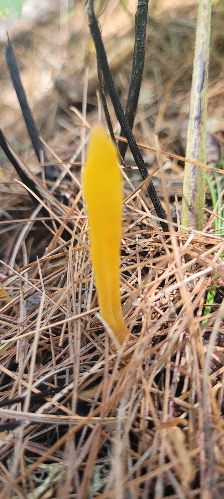
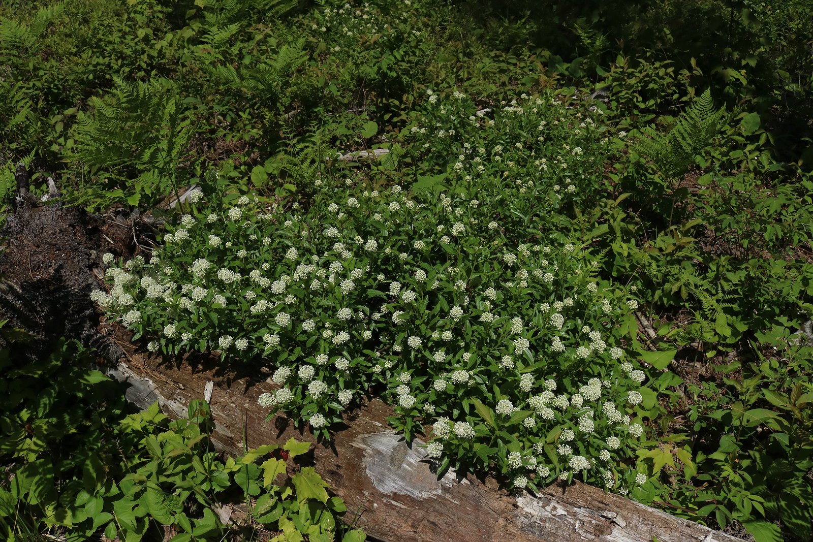
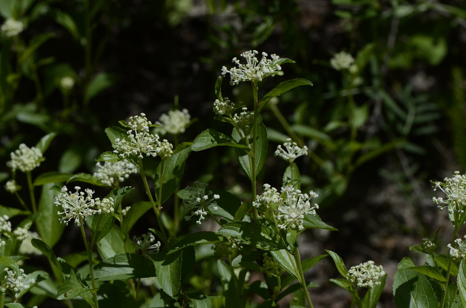
A small to medium sized forested waterfall in a remote Laurentian setting. Flow varies seasonally, higher and more spectacular in spring runoff and after heavy rain, reduced in late summer and dry periods. Facilities are minimal or nonexistent (no restrooms, railings, or formal viewing platforms). Cell coverage may be spotty. Wildlife typical of the region (deer, beaver, small mammals, various birds; bears possible) may be present.
Accessibility
The trail is not wheelchair accessible. Uneven terrain and elevation changes require steady footing.
Frequently Asked Questions
🐶 Are Dogs Allowed at Chute Rouge?
❌ Dogs are not allowed
Are There Any Fees or Permits Required?
🆖 No fees required
🏊 Is There Swimming at Chute Rouge?
❌ Swimming is not allowed
When to Visit
Spring (late March–May) for highest flows and dramatic scenery. Fall (September–October) for foliage colors combined with good water levels. Summer is fine for access but flows may be lower. Winter can offer icefall viewing but requires winter experience and equipment.
Seasonal Access
The best time to visit is Spring, Summer, Fall, and Winter. Check with the managing park or local authority for current conditions.
Safety Information
Approach the falls with care, rocky banks and wet surfaces are slippery; falls in water level or flow can be sudden after rain; currents and undertows may be present. The area is remote with potentially poor cell reception, tell someone your plans and expected return time. Be aware of wildlife (including bears) and seasonal risks such as ice in winter and ticks in summer. Local logging operations or seasonal road closures may create hazards; check current local conditions before traveling.
7-Day Flow Outlook
Based on the WSC gauge LIEVRE (RIVIERE DU) AU LAC DU POISSON BLANC (24 km away).
Best time of year: this gauge typically runs highest from late April to mid July, peaking in May.
How we calculate this
This is a transparent outlook, not a precise forecast. We take the waterfall's current flow strength (how it ranks against its historical normal for today, from the nearest WSC stream gauge), carry that ranking forward along the gauge's seasonal curve, and nudge it for forecast rain. Confidence is highest for the next day or two and falls further out. Always check official conditions and your own judgment before visiting — high flows can be dangerous.
Know when to go.
Get a free email alert when waterfalls near Mont-Laurier hit peak flow. We only send when conditions are worth the trip — no weekly newsletters, no spam.
Weather Forecast
Location & Access
Getting There
The falls are reached from the Mont‑Laurier area by local roads and forestry/secondary roads. Exact public trailheads and maintained access routes are not well documented; access may require driving on gravel or logging roads and a short walk through forest. Use the provided coordinates (46.265, -75.8431) in a reliable map/navigation app and verify road conditions locally before traveling. A high‑clearance vehicle may be helpful on unpaved roads.
Get Directions on Google MapsParking
There does not appear to be an established parking lot. Parking is likely roadside or an informal pullout near a trail/road access point. Expect primitive conditions and limited signage; park clear of gates and private driveways and do not block roads.
Elevation
175 metres above sea level
Coordinates
46.264971° N, -75.843087° W
Land Management
Managed by Ministère de l'Environnement, de la Lutte contre les changements climatiques, de la Faune et des Parcs, Direction de la conservation des habitats
Visitor Tips & Gear
• Confirm exact location and road conditions before you go; local forestry operations can affect access. • Wear sturdy, waterproof footwear with good traction; rocks and riverbanks are slippery. • Bring a map/GPS and a paper map as backup, cell reception can be unreliable. • Park legally and respectfully; avoid blocking gates or private property. • Pack out all trash and follow Leave No Trace principles. • Be cautious near the water, currents and underwater hazards can be dangerous, especially after rain or during spring melt. • If visiting in winter, use appropriate winter gear and be aware of thin ice and avalanche/icefall hazards in steep terrain.
Where to Stay
Browse vacation cabins and private rentals nearby
Unique outdoor stays — tents, yurts, and treehouses
Rent a campervan or RV for your waterfall road trip
Some links are affiliate links. We may earn a commission at no extra cost to you.
Nearby Campground
Camping M. Morin
4.8 km away
Additional Information
Nearby Attractions
The Mont‑Laurier area contains numerous lakes, rivers, and forest recreation opportunities typical of the Laurentian region. Local tourism offices or municipal resources can identify other named falls, hiking trails, and viewpoints nearby.
Wildlife
Typical Laurentian wildlife may include white‑tailed deer, beaver, otter, various waterfowl and songbirds, small mammals, and occasionally black bear or moose. Ticks are present in warmer months, take precautions.
Cities near Chute Rouge
Writing about Chute Rouge? Embed this waterfall on your site for free.