Photo Credits (5)
Difficulty
Easy
Trail Length
9.0 km
Trail Type
Out And Back
Elevation Gain
311 m
About Chute Parker
Chute Parker (Chute à Parker) is a small to medium-sized waterfall near Shawinigan-Sud in Quebec. It sits on a local river or stream and is best described as a rocky cascade set in a mixed forested area. Visitor descriptions suggest a natural, undeveloped site popular with locals for viewing and short walks. Specific historical or geological details and an exact measured height are not well-documented in widely available trail resources, so some characteristics below are described cautiously.
The Setting
Chute Parker sits at 210 metres within La Mauricie National Park, in the foothills of Quebec.
Why This Waterfall Exists
Chute Parker flows over hard crystalline rock, primarily gneiss, laid down over 1.0-1.6 billion years ago. These resistant rocks form a durable ledge that water cannot easily wear away, creating the falls where softer material downstream has already eroded.
Trail & Hike Details
The Approach
The easy 9.0-km out-and-back trail gains 311 metres of elevation on the way to the falls.
Trail Description
The approach is commonly a short walk from a roadside pullout. Trails (where present) are typically unpaved, narrow, and may be rocky, rooty, and uneven. There may be short, moderately steep sections to a viewpoint at the top or base of the falls. Expect minimal to no built infrastructure (few or no boardwalks, guardrails, or formal viewpoints). Trail conditions can vary by season and after heavy rain.
What to Expect
A natural riverside setting with a cascade-style waterfall flowing over rock ledges. In spring the flow is usually highest; summer and fall often have lower but still attractive flows. Vegetation is typical of southern Quebec mixed forest (maple, birch, fir). There may be limited views from above and below the falls depending on vegetation and terrain. Facilities are likely minimal or absent, no toilets, trash cans, or staffed services. Cell service may be spotty in places.
Accessibility
The trail involves steep, uneven terrain with significant elevation change and is not accessible to mobility devices.
Frequently Asked Questions
🐶 Are Dogs Allowed at Chute Parker?
❌ Dogs are not allowed
Are There Any Fees or Permits Required?
🆖 No fees required
🏊 Is There Swimming at Chute Parker?
❌ Swimming is not allowed
When to Visit
Spring for the highest water flow and dramatic display; late spring/early summer for good flow plus green foliage. Fall for colorful foliage framing the falls. Winter can be scenic if you are prepared for icy trails and cold; ice formations may be present but access may be hazardous.
Seasonal Access
The best time to visit is Spring, Summer, Fall, and Winter. Check with La Mauricie National Park for current conditions.
Safety Information
Hazards include slippery wet rocks, steep or unstable banks, strong currents near the falls (especially in spring or after heavy rain), and risk of falling if you venture off established paths. There are likely no lifeguards or safety infrastructure. Insects (black flies, mosquitoes) can be numerous in late spring/early summer. Winter ice can create additional hazards, ice may be brittle and unsafe. Always tell someone your plans, carry a charged phone, and wear appropriate footwear. If conditions are poor (heavy rain, ice, or high water), avoid approaching the water's edge.
7-Day Flow Outlook
Based on the WSC gauge LOUP (RIVIERE DU) A 0,3 KM EN AVAL DU RUISSEAU CARUFEL (26 km away).
Best time of year: this gauge typically runs highest from early April to late June, peaking in April.
How we calculate this
This is a transparent outlook, not a precise forecast. We take the waterfall's current flow strength (how it ranks against its historical normal for today, from the nearest WSC stream gauge), carry that ranking forward along the gauge's seasonal curve, and nudge it for forecast rain. Confidence is highest for the next day or two and falls further out. Always check official conditions and your own judgment before visiting — high flows can be dangerous.
Know when to go.
Get a free email alert when waterfalls near Shawinigan-Sud hit peak flow. We only send when conditions are worth the trip — no weekly newsletters, no spam.
Weather Forecast
Location & Access
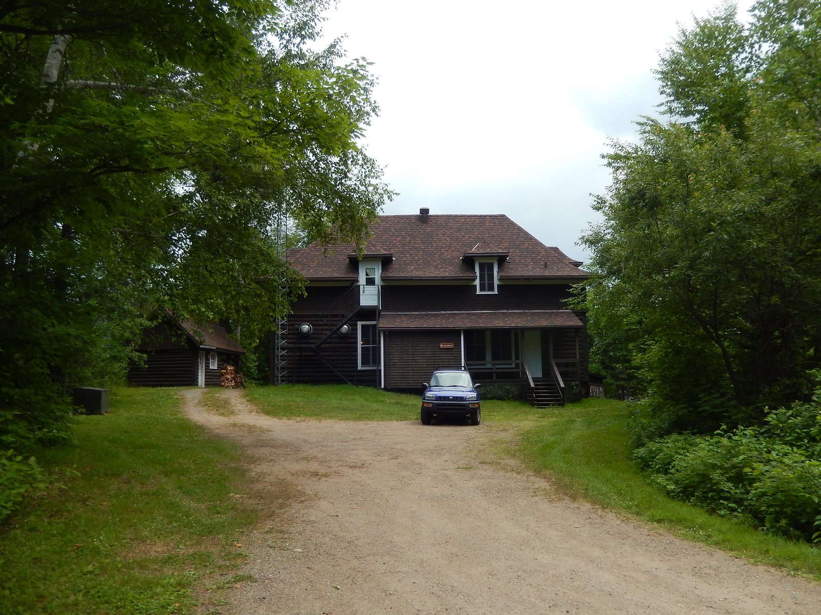
Getting There
Coordinates: 46.6805, -72.8687. The fall is located within driving distance of Shawinigan-Sud (≈12.4 miles), Trois-Rivières (≈29.6 miles) and Joliette (≈55.8 miles). Access generally requires driving on local roads; the final approach may be on a minor paved or gravel road. Expect a short walked approach from a roadside parking spot or small pullout. Visitors should verify access on local maps and check whether the approach crosses private property.
Get Directions on Google MapsParking
Parking is likely limited to a small pullout or roadside space near the trailhead. There may be no formal parking lot, signage, or facilities. Park safely off the roadway and avoid blocking entrances; consider parking off the road where allowed.
Elevation
210 metres above sea level
Coordinates
46.680464° N, -72.868692° W
Land Management
Managed by Parks Canada Agency
Visitor Tips & Gear
Arrive early on weekends to secure parking. Wear sturdy, grippy footwear, rocks near the water are slippery. Stay on durable footing and avoid climbing on wet or unstable ledges. Respect private property boundaries; do not trespass. Pack out all trash. Check recent trip reports or local sources for current access conditions, seasonal closures, or trail changes. Be aware of insects (black flies, mosquitoes) in spring/summer and bring repellent.
As an Amazon Associate, we earn from qualifying purchases.
This easy 9.0 km hike is straightforward — comfortable trail shoes and plenty of water should do. Icy conditions are common in winter — traction cleats are a smart addition.

Columbia Watertight II Rain Jacket
Packs into its own pocket, seam-sealed, and keeps you dry from spray and surprise rain.

Polarized Sunglasses (Knockaround)
Cuts glare off the water so you actually see the falls — and your photos turn out better too.

Earth Pak Waterproof Dry Bag
Keeps your phone and gear dry when waterfall mist soaks everything else.

Waterproof Phone Pouch (AiRunTech)
Cheap insurance — take photos right next to the falls without killing your phone.

Kahtoola MICROspikes
Cult-favorite traction cleats that grip ice and wet rock — essential for winter waterfall hikes.

Sawyer Squeeze Water Filter
The backcountry standard — filters 99.9% of bacteria and weighs just 3 oz.
Where to Stay
Browse vacation cabins and private rentals nearby
Unique outdoor stays — tents, yurts, and treehouses
Rent a campervan or RV for your waterfall road trip
Some links are affiliate links. We may earn a commission at no extra cost to you.
Nearby Campground
Lac à la Pêche - 1
0.6 km away
Additional Information
Nearby Attractions
La Mauricie National Park (a regional destination for hiking and water features) and other waterfalls around Shawinigan and the Mauricie region are within driving distance. The city of Shawinigan and the Saint-Maurice River corridor offer additional outdoor and cultural attractions.
Wildlife
Typical regional wildlife includes white-tailed deer, various small mammals (squirrels, raccoons), and many bird species. Be mindful of ticks in warm months. Larger wildlife encounters are uncommon but possible in more remote areas.
Cities near Chute Parker
Writing about Chute Parker? Embed this waterfall on your site for free.