Photo Credits (3)
Difficulty
Drive Up
Trail Length
0.2 km
Trail Type
Out And Back
About Chute du Grand Remous
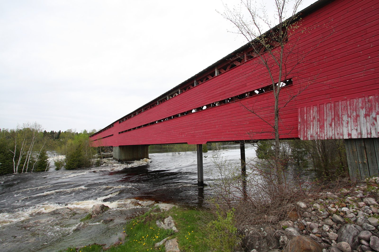
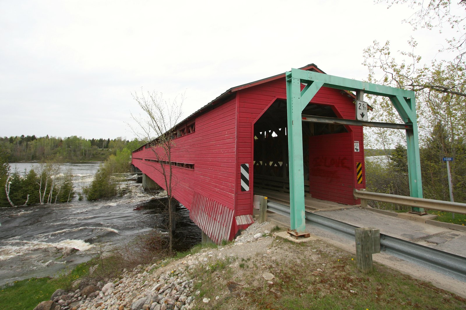
Chute du Grand Remous is a waterfall in the La Vallée-de-la-Gatineau region of Quebec, located near the community of Grand-Remous and approximately 20.2 miles (about 32.5 km) from Mont‑Laurier. Coordinates: 46.5911, -75.9307. The falls are associated with the Gatineau River system in this area and are a local natural feature often visited for scenic viewing and photography. Specific infrastructure and facilities at the site are not well documented, so visitors should expect minimal developed services and exercise caution near water and cliff edges.
Why This Waterfall Exists
Chute du Grand Remous flows over hard crystalline rock, primarily marble, laid down over 1.0-1.6 billion years ago. These resistant rocks form a durable ledge that water cannot easily wear away, creating the falls where softer material downstream has already eroded.
Trail & Hike Details
The Approach
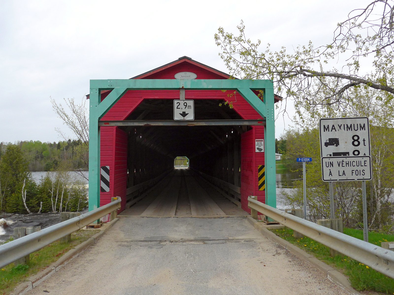
No hiking required. Chute du Grand Remous is accessible by vehicle with a roadside viewing area.
Trail Description
Publicly available trail details are limited. Access to the falls may involve a short walk from a roadside pullout or small parking area over uneven, natural terrain. Trails (if present) may be unmarked and can include roots, rocks, and potentially steep sections near the river or cliff edges. If you require a developed trail or boardwalk, verify with local authorities or tourism offices beforehand.
What to Expect
Expect a natural, potentially undeveloped setting with rocky banks and variable flow depending on season. High flows in spring (snowmelt) produce the most impressive water volume. Summer flow can be reduced; fall offers scenic foliage. Winter may present frozen falls or ice formations but also increased hazards. Facilities such as restrooms, trash bins, or interpretive signs may be absent.
Accessibility
This waterfall is viewable from a vehicle-accessible area. No hiking is required.
Frequently Asked Questions
🐶 Are Dogs Allowed at Chute du Grand Remous?
❌ Dogs are not allowed
Are There Any Fees or Permits Required?
🆖 No fees required
🏊 Is There Swimming at Chute du Grand Remous?
❌ Swimming is not allowed
When to Visit
Late spring (peak runoff) for maximum flow and dramatic water; early fall for foliage color and comfortable temperatures. Winter offers ice scenery but increased hazard and potentially limited access.
Seasonal Access
The best time to visit is Spring, Summer, Fall, and Winter. Check with the managing park or local authority for current conditions.
Safety Information
Hazards to be aware of: slippery rocks and ledges, fast currents and undertows near the falls, cold water temperatures, unstable banks, winter ice that can be brittle or conceal hazards, heavy spring runoff, and limited cell coverage or emergency access. Always keep a safe distance from the water edge, supervise children closely, and do not attempt to climb wet rock faces. Check local conditions before visiting and avoid visiting alone if the site is remote.
7-Day Flow Outlook
Based on the WSC gauge DESERT (RIVIERE) SUR LE CHEMIN LYTTON EN AMONT DE LA CHUTE ROUGE (8 km away).
Best time of year: this gauge typically runs highest from early April to mid June, peaking in May.
How we calculate this
This is a transparent outlook, not a precise forecast. We take the waterfall's current flow strength (how it ranks against its historical normal for today, from the nearest WSC stream gauge), carry that ranking forward along the gauge's seasonal curve, and nudge it for forecast rain. Confidence is highest for the next day or two and falls further out. Always check official conditions and your own judgment before visiting — high flows can be dangerous.
Know when to go.
Get a free email alert when waterfalls near Mont-Laurier hit peak flow. We only send when conditions are worth the trip — no weekly newsletters, no spam.
Weather Forecast
Location & Access
Getting There
From Mont‑Laurier travel toward the Grand‑Remous area by local roads (regional highways and secondary roads). The waterfall coordinates are 46.5911, -75.9307; use GPS mapping to reach the nearest parking or roadside pullout. Local signage may be limited, confirm access routes with the municipality of Grand‑Remous or local tourism resources before visiting.
Get Directions on Google MapsParking
Parking is likely limited to a small roadside pullout or informal lot near the access point. Expect minimal developed parking facilities; larger vehicles may have limited turning room. Check local signage and avoid blocking roads or private driveways.
Elevation
173 metres above sea level
Coordinates
46.591081° N, -75.930721° W
Visitor Tips & Gear
• Wear sturdy, closed-toe footwear with good traction. • Be prepared for slippery rocks and uneven footing near the water; stay a safe distance from edges. • Check recent reports or contact local tourism/municipal offices for access updates, parking info, and any seasonal restrictions. • Bring insect repellent in spring and summer (black flies and mosquitoes can be heavy). • Pack out all trash and respect any private property/access restrictions. • Cell coverage may be unreliable; bring a map or download offline directions.
Where to Stay
Browse vacation cabins and private rentals nearby
Unique outdoor stays — tents, yurts, and treehouses
Rent a campervan or RV for your waterfall road trip
Some links are affiliate links. We may earn a commission at no extra cost to you.
Nearby Campground
Le Camping Baskatong
15.8 km away
Additional Information
Nearby Attractions
Town of Grand‑Remous, Gatineau River scenic stretches, regional lakes and forested areas in La Vallée‑de‑la‑Gatineau. Mont‑Laurier is the nearest larger service center (approximately 20.2 miles away).
Wildlife
Typical wildlife of the Laurentian/Outaouais region may be present, including deer, small mammals, songbirds, and potentially moose. Insects (black flies, mosquitoes) are common in spring/summer. Observe wildlife from a distance and do not feed animals.
Cities near Chute du Grand Remous
Nearby Waterfalls
Writing about Chute du Grand Remous? Embed this waterfall on your site for free.