Cherry Creek Falls
By Armen Suny · Last verified Jun 2026
Difficulty
Easy
Trail Length
1.3 km
Trail Type
Loop
Elevation Gain
27 m
About Cherry Creek Falls
Cherry Creek Falls is a small forested cascade on Cherry Creek in the East Kootenay region of British Columbia, located roughly 15 miles (24 km) from Cranbrook and about 56 miles (90 km) from Creston (approximate coordinates 49.7132, -115.894). The waterfall is set in a wooded, canyon-like setting and is likely most impressive during spring snowmelt and after heavy rains. Exact published measurements and formal infrastructure (boardwalks, viewpoints) appear limited or not widely documented, so information about official access and facilities is sparse and may be variable.
Why This Waterfall Exists
Cherry Creek Falls flows over Purcell Group, a hard volcanic rock layer deposited over 1.0-1.6 billion years ago. The softer shale and siltstone erodes faster than the resistant volcanic rocks and mafic, creating a ledge that the water plunges over.
Trail & Hike Details
The Approach
The easy 1.3-km loop trail gains 27 metres of elevation on the way to the falls.
Trail Description
Published trail descriptions are limited. Reports suggest an informal/unmarked route from the nearest forest service road into a wooded canyon to reach one or more cascades. Trails may be short but steep in places with roots, loose rock, and wet muddy sections. Expect minimal signage and little to no maintained trail infrastructure; route finding and basic scrambling may be required. If you prefer well-marked trails and maintained viewpoints, treat this as a backcountry visit.
What to Expect
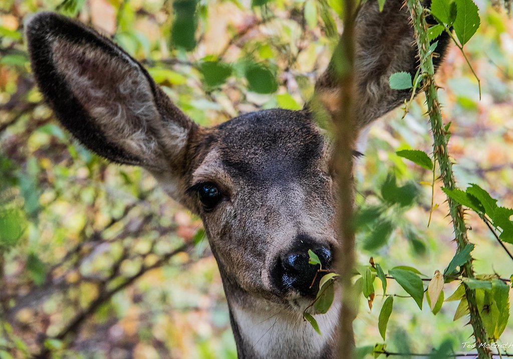
A natural, wooded setting with cascading water flowing over bedrock and through a narrow creek canyon. Flow volume will vary seasonally (highest in spring). There are likely no railings or formal viewing platforms, and banks and rocks will be slippery. Cell coverage may be intermittent. Wildlife common to the East Kootenays (deer, small mammals, possibly bears) may be present. Facilities such as toilets, garbage bins, and potable water are unlikely.
Accessibility
The trail is short and relatively flat, but the surface may be uneven. Contact the managing agency for accessibility details.
Frequently Asked Questions
🐶 Are Dogs Allowed at Cherry Creek Falls?
❌ Dogs are not allowed
Are There Any Fees or Permits Required?
🆖 No fees required
🏊 Is There Swimming at Cherry Creek Falls?
❌ Swimming is not allowed
When to Visit
Late spring (snowmelt) for highest flows and lush vegetation; early to mid-summer for easier access and warmer conditions. Fall offers lower flows but attractive foliage. Winter access may be limited by snow and icy conditions and is suitable only for experienced winter backcountry travelers if pursued.
Seasonal Access
The best time to visit is Spring, Summer, and Fall. Winter access may be limited. Check with the managing park or local authority for current conditions.
Safety Information
Hazards include slippery rocks, steep and unstable banks, variable water flow, limited or no cell service, and seasonal road or trail closures. Do not approach cliff edges or attempt scrambles without proper footwear and caution. Avoid visiting alone if possible and tell someone your plans. Check local avalanche or winter travel advisories in winter months.
Current Water Conditions
0.9 m³/s
Current discharge — how much water is flowing
Lower than usual for this time of year
Based on 52 years of record
2.27 m
Water depth at gauge
7-Day Discharge Trend
What does this mean for your visit?
Flow is lower than usual for this time of year.
About This Gauge
7-Day Flow Outlook
Based on the WSC gauge MATHER CREEK BELOW HOULE CREEK (0 km away).
Today
Low
0.9 m³/s
6/10Tomorrow
Low
0.9 m³/s
5/10Tue
Low
0.8 m³/s
5/10Wed
Low
0.8 m³/s
5/10Thu
Low
0.8 m³/s
5/10Fri
Low
0.8 m³/s
6/10Sat
Low
0.7 m³/s
5/10Best window: Today — low flow, sunny (trip score 6/10).
Best time of year: this gauge typically runs highest from mid April to mid July, peaking in June.
How we calculate this
This is a transparent outlook, not a precise forecast. We take the waterfall's current flow strength (how it ranks against its historical normal for today, from the nearest WSC stream gauge), carry that ranking forward along the gauge's seasonal curve, and nudge it for forecast rain. Confidence is highest for the next day or two and falls further out. Always check official conditions and your own judgment before visiting — high flows can be dangerous.
Know when to go.
Get a free email alert when waterfalls near Cranbrook hit peak flow. We only send when conditions are worth the trip — no weekly newsletters, no spam.
Weather Forecast
Location & Access
Getting There
General access is from forest/secondary roads off the Cranbrook area. The falls are located in a backcountry/forest setting; many visitors report reaching viewpoints after driving on unpaved forest or logging roads and then following an informal trail or social path into the creek canyon. Road surface, gate closures, and seasonal conditions may affect access, a high-clearance vehicle may be recommended in some seasons. Confirm current local road and access conditions with the Cranbrook visitor centre or local land manager before heading out.
Get Directions on Google MapsParking
Parking is likely limited to roadside pullouts or small informal clearings near the access road. Expect unpaved parking and no formal facilities (no toilets, no maintained lot). Park safely off the road and avoid blocking gates or driveways.
Elevation
1,033 metres above sea level
Coordinates
49.713236° N, -115.894033° W
Visitor Tips & Gear
• Check local road and weather conditions before you go; forest roads can be closed seasonally or after storms. • Use a high-clearance vehicle if venturing on logging/forest roads and park in a safe designated or well-off-road spot. • Wear sturdy, waterproof footwear, creek approaches and rocks will be slippery. • Bring a map, GPS or offline maps, trails may be unmarked. • Leave no trace: pack out all waste. • Be cautious near edges and under overhangs; falling rock and unstable banks are possible. • If unsure about access, contact the Cranbrook visitor centre or local forest district for up-to-date info.
As an Amazon Associate, we earn from qualifying purchases.
For this easy 1.3 km trail, lightweight trail shoes and a water bottle are usually sufficient. Sun exposure on the trail makes good sun protection a must in summer.

Columbia Watertight II Rain Jacket
Packs into its own pocket, seam-sealed, and keeps you dry from spray and surprise rain.

Earth Pak Waterproof Dry Bag
Keeps your phone and gear dry when waterfall mist soaks everything else.

Waterproof Phone Pouch (AiRunTech)
Cheap insurance — take photos right next to the falls without killing your phone.

Polarized Sunglasses (Knockaround)
Cuts glare off the water so you actually see the falls — and your photos turn out better too.

Osprey Daylite Daypack
Light, organized, and just the right size for a day hike — fits water, snacks, and layers.

OR Sombriolet Sun Hat
UPF 50+ sun protection with vents so your head doesn't cook on exposed trail sections.
Where to Stay
Browse vacation cabins and private rentals nearby
Unique outdoor stays — tents, yurts, and treehouses
Rent a campervan or RV for your waterfall road trip
Some links are affiliate links. We may earn a commission at no extra cost to you.
Nearby Campground
Hahas Lake Campground
6.3 km away
Additional Information
Nearby Attractions
Cranbrook area attractions and services (visitor centre, accommodations) are the closest established hubs. The East Kootenay region offers other outdoor opportunities including alpine hiking, lakes, and scenic drives, confirm distances and directions locally.
Wildlife
Typical East Kootenay species may be encountered: deer, elk, black bear, small mammals, and a variety of birds. Take normal backcountry precautions (store food securely, make noise on approach, carry bear spray where appropriate).
Cities near Cherry Creek Falls
Nearby Waterfalls
Writing about Cherry Creek Falls? Embed this waterfall on your site for free.