Chase Creek Falls
By Armen Suny · Last verified Jun 2026
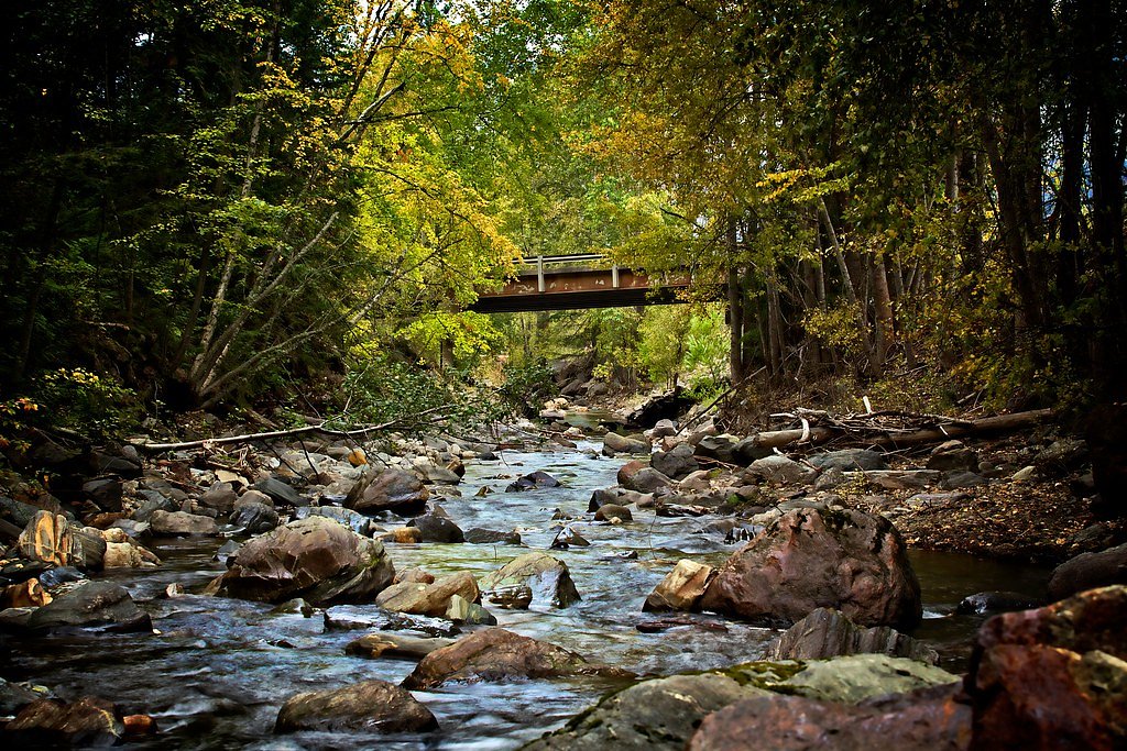
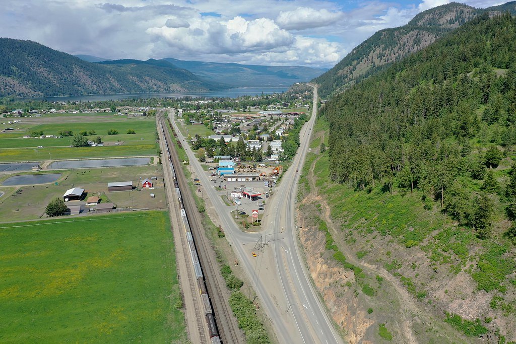
Photo Credits (5)
Difficulty
Easy
Trail Length
1.0 km
Trail Type
Out And Back
Elevation Gain
30 m
About Chase Creek Falls
Chase Creek Falls is a relatively small cascade on Chase Creek near the community of Chase, British Columbia, roughly 35 miles east of Kamloops (coordinates: 50.8181, -119.6776). The falls are best described as a scenic roadside/short-hike waterfall on a creek that can be more impressive in spring runoff and after heavy rain. Exact published height information is not readily available; the feature appears to be a modest cascade rather than a very tall single drop. Access is typically informal and may include short unpaved approaches from a nearby parking/pullout.
Why This Waterfall Exists
Chase Creek Falls flows over Little Shuswap Orthogneiss, a hard banded metamorphic rock layer deposited about 444-485 million years ago. These resistant rocks form a durable ledge that water cannot easily wear away, creating the falls where softer material downstream has already eroded.
Trail & Hike Details
The Approach
The easy 1.0-km out-and-back trail gains 30 metres of elevation on the way to the falls.
Trail Description
The approach to Chase Creek Falls is typically short and informal: a brief walk from a roadside pullout or small parking area down to the creek. Trails may be narrow, uneven, and include roots or loose rock. There may be short steeper sections or banks to descend to reach viewpoints. Expect mostly natural surface trail without developed boardwalks or railings.
What to Expect
A modest cascade on Chase Creek with multiple small drops or a stepped flow rather than a single large vertical drop. Flow is seasonal, highest in spring and after heavy rain, lower in late summer and early fall. The immediate area includes mixed forest and riparian vegetation; viewpoints may require standing on exposed rock or the creek bank. Facilities (restrooms, picnic tables) are unlikely at the immediate site.
Accessibility
The trail is short and relatively flat, but the surface may be uneven. Contact the managing agency for accessibility details.
Frequently Asked Questions
🐶 Are Dogs Allowed at Chase Creek Falls?
❌ Dogs are not allowed
Are There Any Fees or Permits Required?
🆖 No fees required
🏊 Is There Swimming at Chase Creek Falls?
❌ Swimming is not allowed
When to Visit
Late spring (high snowmelt) and early summer for strongest flow. Early fall can offer lower flows but pleasant weather; avoid high-flow conditions after heavy rains if you plan to approach the water.
Seasonal Access
The best time to visit is Spring, Summer, and Fall. Winter access may be limited. Check with the managing park or local authority for current conditions.
Safety Information
Hazards can include slippery rocks and wet banks, unstable edges, seasonal high flows, and limited or no safety railings. In winter expect icy and snowy conditions; approach can be hazardous. There may be no cell service in some areas, tell someone your plans and expected return time. Wildlife encounters (black bears) are possible; carry bear spray if planning extended travel in the backcountry and know how to use it.
Current Water Conditions
0.0 m³/s
Current discharge — how much water is flowing
Much lower than usual for this time of year
Based on 28 years of record
0.37 m
Water depth at gauge
7-Day Discharge Trend
What does this mean for your visit?
Flow is well below normal for this time of year, so the waterfall may be a trickle.
About This Gauge
7-Day Flow Outlook
Based on the WSC gauge CHASE CREEK ABOVE THE MOUTH (0 km away).
Today
Barely Flowing
0.0 m³/s
5/10Tomorrow
Barely Flowing
0.0 m³/s
4/10Tue
Barely Flowing
0.0 m³/s
4/10Wed
Barely Flowing
0.0 m³/s
4/10Thu
Barely Flowing
0.0 m³/s
3/10Fri
Barely Flowing
0.0 m³/s
4/10Sat
Barely Flowing
0.0 m³/s
4/10Best window: Today — barely flowing flow, mainly sunny (trip score 5/10).
Best time of year: this gauge typically runs highest from early April to early July, peaking in May.
How we calculate this
This is a transparent outlook, not a precise forecast. We take the waterfall's current flow strength (how it ranks against its historical normal for today, from the nearest WSC stream gauge), carry that ranking forward along the gauge's seasonal curve, and nudge it for forecast rain. Confidence is highest for the next day or two and falls further out. Always check official conditions and your own judgment before visiting — high flows can be dangerous.
Know when to go.
Get a free email alert when waterfalls near Kamloops hit peak flow. We only send when conditions are worth the trip — no weekly newsletters, no spam.
Weather Forecast
Location & Access
Getting There
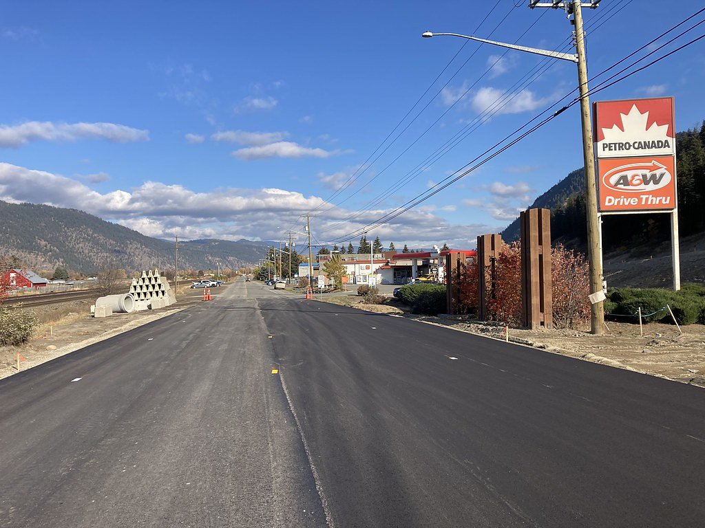
From Kamloops drive east on the Trans-Canada Highway (Highway 1) toward Chase (about 35 miles). The falls are in the Chase area near Chase Creek; many visitors approach from local roads off Highway 1. Exact signed trailheads may be limited; some visitors access viewpoints from a short walk or roadside pullout. Use local maps or a GPS with the provided coordinates to locate the creek access and parking.
Get Directions on Google MapsParking
Parking is likely informal, small roadside pullouts or a small unpaved lot near the creek. Space may be limited and there may be no marked parking lot or official facilities. Do not block private driveways or traffic lanes; park only in designated or clearly safe pullouts.
Elevation
419 metres above sea level
Coordinates
50.818086° N, -119.677642° W
Visitor Tips & Gear
• Use the provided coordinates and local maps to locate the best access point. • Wear sturdy footwear, approach may be rocky, wet and slippery. • Expect limited or no signage; respect private property and posted signs. • Bring insect repellent (summer) and dress in layers; conditions change quickly. • If visiting in spring or after heavy rain, be cautious of stronger currents and unstable banks. • Leave no trace: pack out all trash and avoid disturbing vegetation or riverbanks.
As an Amazon Associate, we earn from qualifying purchases.
For this easy 1.0 km trail, lightweight trail shoes and a water bottle are usually sufficient. Sun exposure on the trail makes good sun protection a must in summer.

Polarized Sunglasses (Knockaround)
Cuts glare off the water so you actually see the falls — and your photos turn out better too.

Columbia Watertight II Rain Jacket
Packs into its own pocket, seam-sealed, and keeps you dry from spray and surprise rain.

Earth Pak Waterproof Dry Bag
Keeps your phone and gear dry when waterfall mist soaks everything else.

Waterproof Phone Pouch (AiRunTech)
Cheap insurance — take photos right next to the falls without killing your phone.

JOBY GorillaPod Starter Kit
Wraps around railings and rocks for long-exposure waterfall shots — no flat surface needed.

Osprey Daylite Daypack
Light, organized, and just the right size for a day hike — fits water, snacks, and layers.
Where to Stay
Browse vacation cabins and private rentals nearby
Unique outdoor stays — tents, yurts, and treehouses
Rent a campervan or RV for your waterfall road trip
Some links are affiliate links. We may earn a commission at no extra cost to you.
Nearby Campground
Chase Lion's Club RV Park
1.8 km away
Additional Information
Nearby Attractions
Town of Chase and Little Shuswap Lake (beaches and boat launches), the Adams River region (noted for the salmon run in fall), provincial parks and recreational access along Shuswap Lake. Kamloops is approximately 35 miles to the west and offers additional services and accommodations.
Wildlife
Typical south-central British Columbia wildlife: black bears, deer, small mammals, and a variety of birds and waterfowl. Take standard wildlife precautions (store food securely, keep dogs leashed, make noise on trails).
Cities near Chase Creek Falls
Writing about Chase Creek Falls? Embed this waterfall on your site for free.