
Photo Credits (4)
Difficulty
Easy
Trail Length
5.6 km
Trail Type
Out And Back
Elevation Gain
149 m
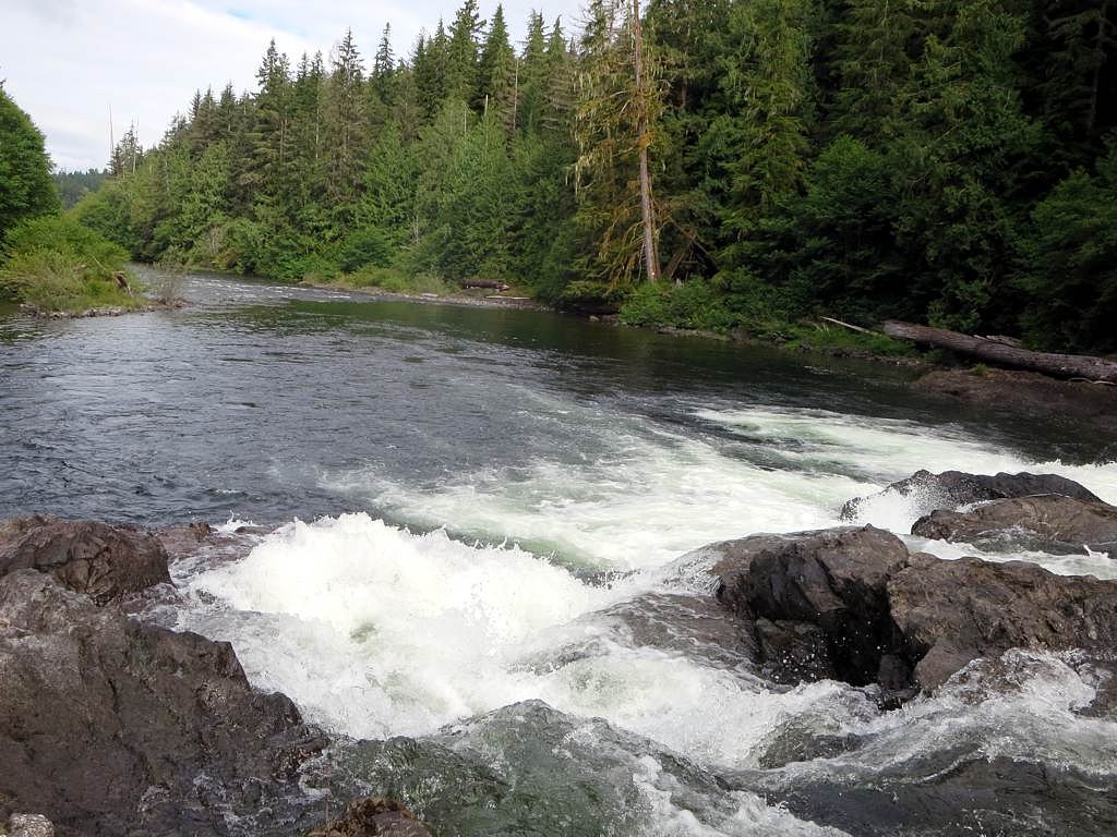
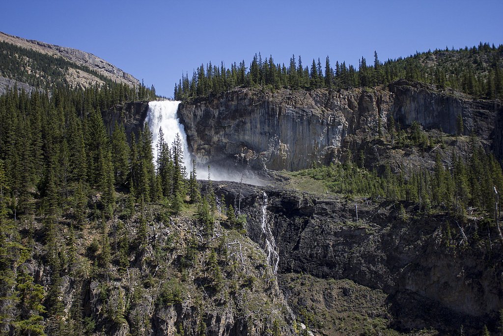
About Bear Falls
Bear Falls is a forested waterfall located on northern Vancouver Island near Port Hardy (approximately 10.3 miles / 16.6 km from Port Hardy town center) at coordinates 50.5347, -127.4674. It appears to be a small-to-moderate cascade set in coastal temperate rainforest. Specific published measurements and an official trail description are not readily available; many reports describe access via secondary/forestry roads and a short, often unmaintained trail to a viewpoint.
The Setting
Bear Falls sits at 43 metres within MARBLE RIVER PARK, in the coastal lowlands of British Columbia.
Why This Waterfall Exists
Bear Falls flows over Karmutsen Formation, a hard volcanic rock layer deposited about 227-237 million years ago. These resistant rocks form a durable ledge that water cannot easily wear away, creating the falls where softer material downstream has already eroded.
Trail & Hike Details
The Approach
The easy 5.6-km out-and-back trail gains 149 metres of elevation on the way to the falls.
Trail Description
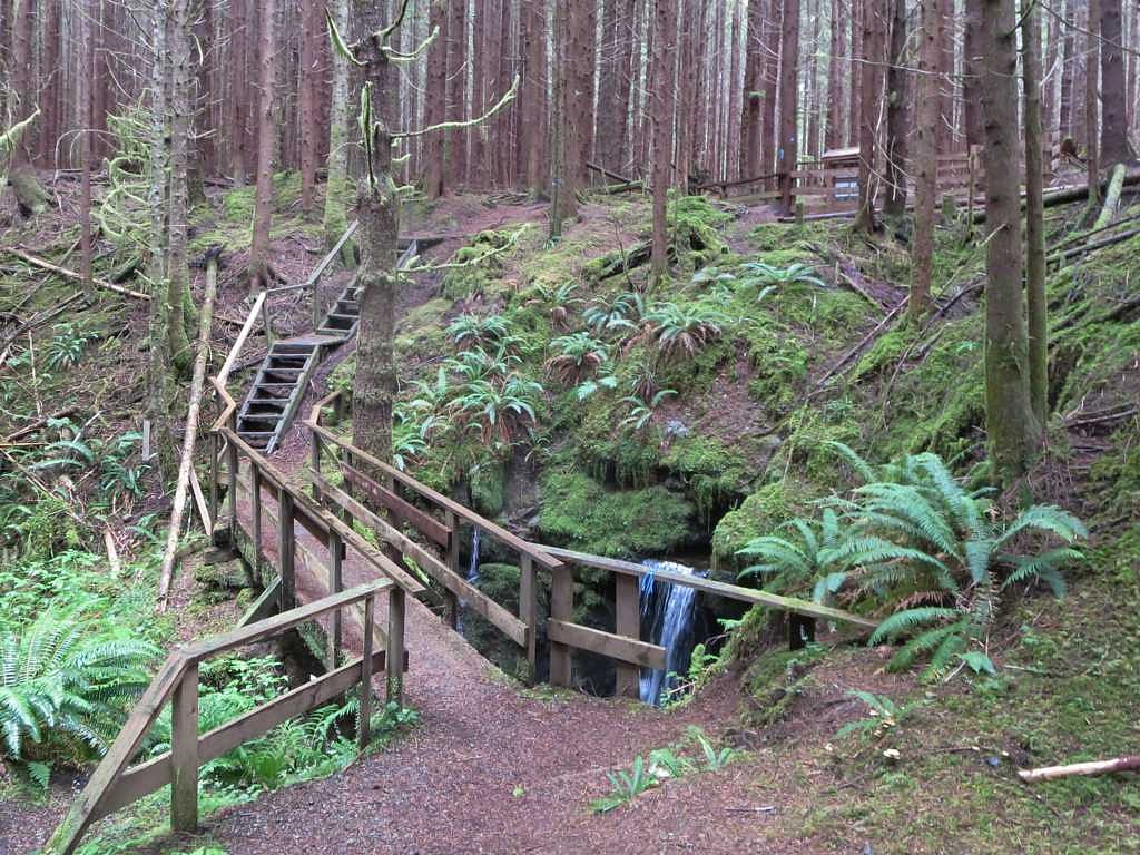
Trail access, where present, is commonly described in visitor notes as a short, unmaintained path leaving from a roadside pullout or minor trailhead. Expect uneven footing, roots, mud, and potentially steep sections to reach viewpoints. Trails in this area may be minimally signed and can be impacted by logging activity, fallen trees, or blowdown. Because official route information is not confirmed, bring a map/GPS and expect to navigate basic, informal paths.
What to Expect
Coastal temperate rainforest setting with dense tree cover, moss, and ferns. Stream and cascade features rather than a single very tall drop are typical. Flow varies seasonally, higher in spring/early summer and after heavy rain, reduced in late summer. Views may be from a narrow bank or small clearing rather than a developed viewing platform. Expect muddy, wet, and slippery surfaces near the stream.
Accessibility
The trail is not wheelchair accessible. Uneven terrain and elevation changes require steady footing.
Frequently Asked Questions
🐶 Are Dogs Allowed at Bear Falls?
❌ Dogs are not allowed
Are There Any Fees or Permits Required?
🆖 No fees required
🏊 Is There Swimming at Bear Falls?
❌ Swimming is not allowed
When to Visit
Spring to early summer for strongest flows and more dramatic water; late spring/early summer also avoids the driest late-summer period. Fall can be pleasant with cooler temperatures and autumn colors. Winter may make access difficult due to road or weather conditions, check before traveling.
Seasonal Access
The best time to visit is Spring, Summer, Fall, and Winter. Check with the managing park or local authority for current conditions.
Safety Information
Hazards include slippery rocks and banks, steep or unstable ground near the water, fast or cold water, limited cell coverage, and possible encounters with bears or other wildlife. Forestry roads may be rough, gated, or closed without notice; watch for logging trucks. Always check current local conditions, let someone know your plan, and carry appropriate safety and navigation gear. If uncertain about conditions, choose a different, well-documented site.
Current Water Conditions
5.7 m³/s
Current discharge — how much water is flowing
Lower than usual for this time of year
Based on 11 years of record
2.88 m
Water depth at gauge
7-Day Discharge Trend
What does this mean for your visit?
Flow is lower than usual for this time of year.
About This Gauge
7-Day Flow Outlook
Based on the WSC gauge MARBLE RIVER AT OUTLET OF ALICE LAKE (3 km away).
Today
Low
6.1 m³/s
4/10Tomorrow
Low
5.2 m³/s
5/10Tue
Low
4.7 m³/s
6/10Wed
Low
4.4 m³/s
5/10Thu
Low
4.0 m³/s
5/10Fri
Low
5.6 m³/s
4/10Sat
Moderate
5.5 m³/s
5/10Best window: Tue — low flow, sunny (trip score 6/10).
Best time of year: this gauge typically runs highest from mid November to late November, peaking in October.
How we calculate this
This is a transparent outlook, not a precise forecast. We take the waterfall's current flow strength (how it ranks against its historical normal for today, from the nearest WSC stream gauge), carry that ranking forward along the gauge's seasonal curve, and nudge it for forecast rain. Confidence is highest for the next day or two and falls further out. Always check official conditions and your own judgment before visiting — high flows can be dangerous.
Know when to go.
Get a free email alert when waterfalls near Port Hardy hit peak flow. We only send when conditions are worth the trip — no weekly newsletters, no spam.
Weather Forecast
Location & Access
Getting There
From Port Hardy drive roughly 10.3 miles (16–17 km) toward the approximate coordinates (50.5347, -127.4674). Access often uses local or forestry/logging roads; conditions can change and some roads may be gated or seasonally closed. Confirm current road conditions with local visitor centres or the BC government forestry/park service before driving. Expect sections of gravel or unpaved road and limited cell coverage.
Get Directions on Google MapsParking
Likely limited roadside parking or a small pullout near an informal trailhead. Parking may be unmarked and could be on gravel/shoulder. Do not block gates or private driveways; follow any posted signs. Exact official parking areas are not confirmed.
Elevation
43 metres above sea level
Coordinates
50.534653° N, -127.467434° W
Land Management
Managed by Government of British Columbia
Visitor Tips & Gear
1) Check local sources (Port Hardy visitor centre, BC Parks, Forest Service) and recent trip reports before heading out. 2) Use a high-clearance vehicle if accessing forestry roads, conditions can be rough. 3) Wear waterproof boots with good traction; bring trekking poles for slippery sections. 4) Be bear-aware (this is bear country): make noise on approach, store food securely, and consider carrying bear spray if comfortable using it. 5) Respect private property and posted closures; many access points in northern Vancouver Island cross or run beside logging operations. 6) Expect limited or no cell reception; carry an offline map or GPS.
As an Amazon Associate, we earn from qualifying purchases.
This easy 5.6 km hike is straightforward — comfortable trail shoes and plenty of water should do. Icy conditions are common in winter — traction cleats are a smart addition.

Columbia Watertight II Rain Jacket
Packs into its own pocket, seam-sealed, and keeps you dry from spray and surprise rain.

Polarized Sunglasses (Knockaround)
Cuts glare off the water so you actually see the falls — and your photos turn out better too.

Earth Pak Waterproof Dry Bag
Keeps your phone and gear dry when waterfall mist soaks everything else.

Waterproof Phone Pouch (AiRunTech)
Cheap insurance — take photos right next to the falls without killing your phone.

Kahtoola MICROspikes
Cult-favorite traction cleats that grip ice and wet rock — essential for winter waterfall hikes.

Sawyer Squeeze Water Filter
The backcountry standard — filters 99.9% of bacteria and weighs just 3 oz.
Where to Stay
Browse vacation cabins and private rentals nearby
Unique outdoor stays — tents, yurts, and treehouses
Rent a campervan or RV for your waterfall road trip
Some links are affiliate links. We may earn a commission at no extra cost to you.
Nearby Campground
Link River Regional Park Campground
11.9 km away
Additional Information
Nearby Attractions
Port Hardy (services, visitor information), Telegraph Cove and the Broughton Archipelago (boat tours and whale watching) and various northern Vancouver Island trails and coastal access points. Cape Scott Provincial Park is on northern Vancouver Island but significantly farther by road, check maps for relative distances.
Wildlife
Black bears and other wildlife (deer, cougars, eagles, waterfowl) are present on northern Vancouver Island. Salmon runs may occur in local streams at certain times of year. Exercise standard wildlife awareness and food storage practices.
Cities near Bear Falls
Nearby Waterfalls
Other waterfalls named Bear Falls
2 other waterfalls share this name across Canada.
Writing about Bear Falls? Embed this waterfall on your site for free.