Artificial Waterfall
By Armen Suny · Last verified Jun 2026
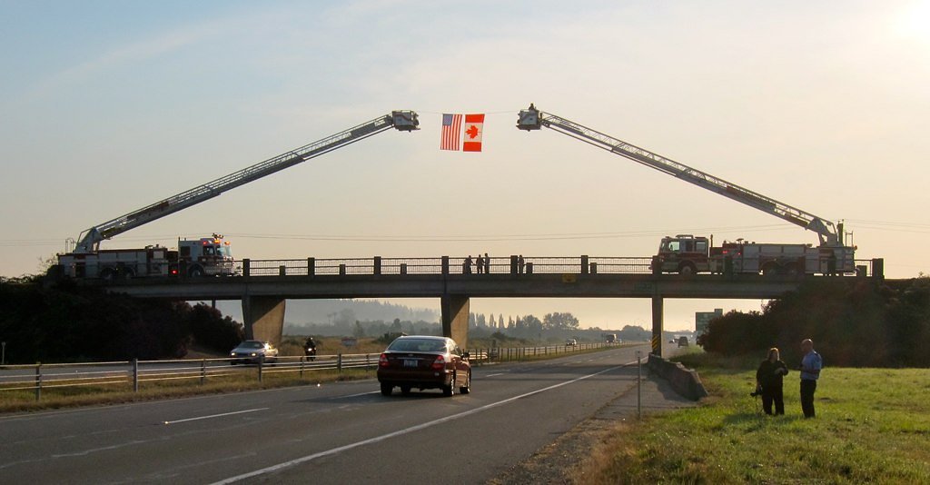
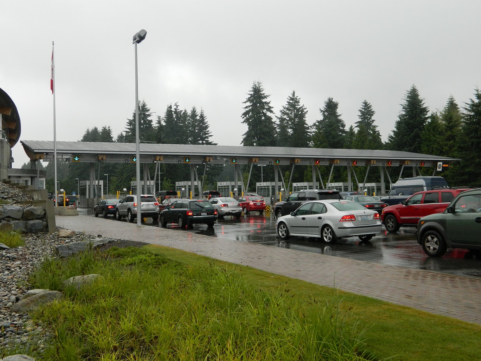
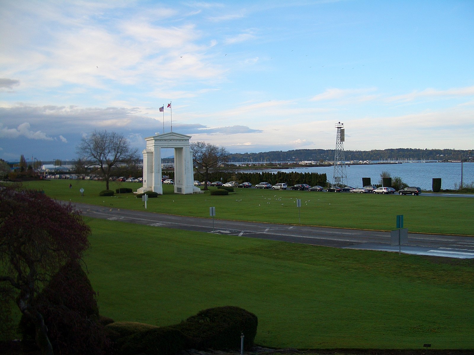
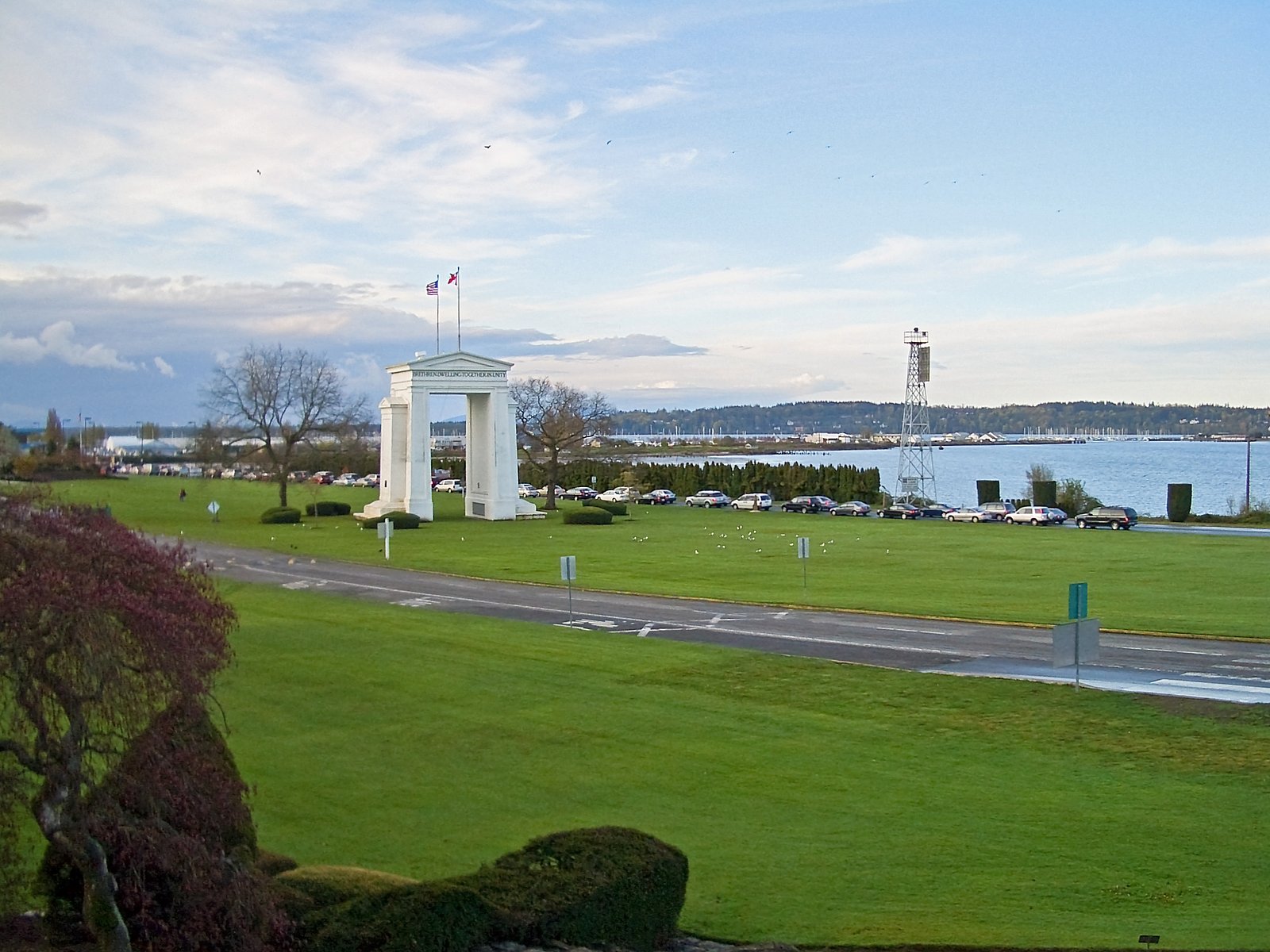
Photo Credits (5)
Difficulty
Drive Up
Trail Length
0.2 km
Trail Type
Out And Back
About Artificial Waterfall
A small man-made (artificial) cascade or landscaped waterfall feature located near latitude 49.0074, longitude -122.7572 on the Canadian side of the Canada–US border near Blaine (WA) and Birch Bay (WA). This appears to be a constructed water feature rather than a natural high-volume waterfall, likely part of park landscaping, a stormwater feature, or private development. Public access, operating schedule, and exact scale may vary; details below are conservative where specific information is not confirmed.
Why This Waterfall Exists
Artificial Waterfall flows over loose river sediment, primarily alluvium, laid down about 3 million years ago. These soft rocks erode readily, allowing the stream to carve a vertical drop into the landscape.
Trail & Hike Details
The Approach
No hiking required. Artificial Waterfall is accessible by vehicle with a roadside viewing area.
Trail Description
If public, the feature is typically reachable without a hike, short paved paths, boardwalks, or viewing areas may lead to the cascade. Expect a short walk from a nearby parking area rather than a trail requiring navigation through wilderness. If the waterfall is on private property or within a managed site, access may be restricted.
What to Expect
A small-scale, artificial cascade with limited water flow compared with natural waterfalls. Surroundings may include landscaped plantings, rock work, retaining walls, and pedestrian amenities (benches, walkways). Water flow may be seasonal or controlled (pumps or stormwater). The feature is unlikely to have significant vertical drop or spray zones like natural falls.
Accessibility
This waterfall is viewable from a vehicle-accessible area. No hiking is required.
Frequently Asked Questions
🐶 Are Dogs Allowed at Artificial Waterfall?
❌ Dogs are not allowed
Are There Any Fees or Permits Required?
🆖 No fees required
🏊 Is There Swimming at Artificial Waterfall?
❌ Swimming is not allowed
When to Visit
Late spring through early fall for warmer weather and active landscaping. Because this is a constructed feature, it may operate year-round or be turned off/partially drained for winter maintenance, check local park or property information.
Seasonal Access
The best time to visit is Spring, Summer, Fall, and Winter. Check with the managing park or local authority for current conditions.
Safety Information
• Slippery surfaces: wet rock, algae, and paved edges can be slick, use caution and appropriate footwear. • Hidden hazards: artificial water features may include pumps, fast-flowing outlets, sharp edges, or shallow basins, do not enter the water. • Property access: respect private property and posted closures; trespassing near the international boundary is a concern. • Border considerations: If approaching from the U.S., ensure you have proper documentation for re-entry to your country. • Weather: coastal weather can change quickly; be prepared for wind and rain.
Current Water Conditions
0.4 m³/s
Current discharge — how much water is flowing
Much higher than usual for this time of year
Based on 40 years of record
0.63 m
Water depth at gauge
7-Day Discharge Trend
What does this mean for your visit?
The water is flowing much higher than usual, expect an impressive display.
About This Gauge
This gauge is on a nearby waterway and may not reflect exact conditions at the falls.
7-Day Flow Outlook
Based on the WSC gauge NICOMEKL RIVER AT 203 STREET, LANGLEY (12 km away).
Today
Roaring
0.4 m³/s
9/10Tomorrow
Roaring
0.4 m³/s
8/10Tue
Roaring
0.4 m³/s
8/10Wed
Roaring
0.4 m³/s
8/10Thu
Roaring
0.5 m³/s
6/10Fri
Roaring
0.4 m³/s
8/10Sat
Roaring
0.4 m³/s
8/10Best window: Today — roaring flow, sunny (trip score 9/10).
Best time of year: this gauge typically runs highest from late December to late January, peaking in December.
How we calculate this
This is a transparent outlook, not a precise forecast. We take the waterfall's current flow strength (how it ranks against its historical normal for today, from the nearest WSC stream gauge), carry that ranking forward along the gauge's seasonal curve, and nudge it for forecast rain. Confidence is highest for the next day or two and falls further out. Always check official conditions and your own judgment before visiting — high flows can be dangerous.
Know when to go.
Get a free email alert when waterfalls near Abbotsford hit peak flow. We only send when conditions are worth the trip — no weekly newsletters, no spam.
Weather Forecast
Location & Access
Getting There
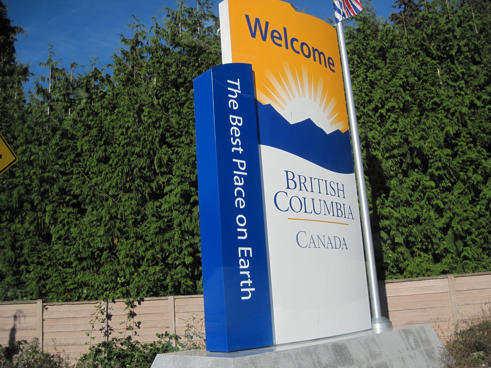
Coordinates: 49.0074, -122.7572. The feature is just north of the Canada–US border in the vicinity of Blaine (WA)/Birch Bay (WA) and Custer (WA). Access is likely from local roads and nearby parks or developments on the Canadian side. If visiting from the U.S., plan for border crossing requirements. Check local maps and property signage to confirm public access before visiting.
Get Directions on Google MapsParking
Parking details are not confirmed. There may be nearby street parking or small park lots if the feature is within a municipal park or waterfront area. Do not assume long-term parking is permitted; obey signage and any private-property restrictions.
Elevation
18 metres above sea level
Coordinates
49.007442° N, -122.757221° W
Visitor Tips & Gear
• Confirm public access before visiting; the feature may be on private property or part of a managed development. • If coming from the U.S., bring proper identification for crossing the border and check wait times. • Expect limited or no formal facilities (restrooms, potable water). • Watch for slippery surfaces near wet rocks and paved edges. • Do not climb on rockwork or enter the water, artificial features may have hidden hazards (pumps, sharp edges, shallow pools). • Respect any posted rules about dogs, smoking, or hours.
Where to Stay
Browse vacation cabins and private rentals nearby
Unique outdoor stays — tents, yurts, and treehouses
Rent a campervan or RV for your waterfall road trip
Some links are affiliate links. We may earn a commission at no extra cost to you.
Nearby Campground
Hazelmere RV Park & Campground
4.4 km away
Nearby Hot Springs
Hot springs near Abbotsford, British Columbia
Dorr Fumarole Field
Dorr Fumarole Field reaches 194 degrees at 8,168 feet elevation on Mount Baker's active volcanic slopes, producing superheated ...

Sherman Crater Fumaroles
Sherman Crater Fumaroles register 266 degrees Fahrenheit at 9,463 feet elevation within the active volcanic crater atop Mount B...
Baker Hot Spring
Baker Hot Spring emerges at 108 degrees Fahrenheit on US Forest Service land in Mt. Baker National Forest, flowing 59.5 degrees...
Looking for a soak after your hike? Explore more hot springs near Abbotsford, British Columbia on SoakingSprings.
Explore British Columbia springsAdditional Information
Nearby Attractions
Nearby points of interest in the general area: Birch Bay (WA) beaches and waterfront, Blaine/Drayton Harbor (WA), Peace Arch Provincial Park (BC) and Peace Arch State Park (WA) near the border, Boundary Bay / Boundary Bay Regional Park area, White Rock and Crescent Beach areas further northwest. Distances vary, confirm exact locations before planning.
Wildlife
Coastal and shoreland wildlife in the broader area may include shorebirds, gulls, herons, seabirds, migrating waterfowl, and occasional seals in nearby marine waters. Urban/suburban wildlife such as raccoons, squirrels, and small birds may be present around landscaped features.
Cities near Artificial Waterfall
Writing about Artificial Waterfall? Embed this waterfall on your site for free.